
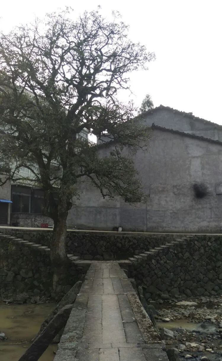
There is a Miaohou Bridge at the entrance of Miaohou Village in Zeya Town. Under the long stone bridge, there should be a crystal clear stream. The stream gurgls from the depths of the bamboo forest and passes through the village.


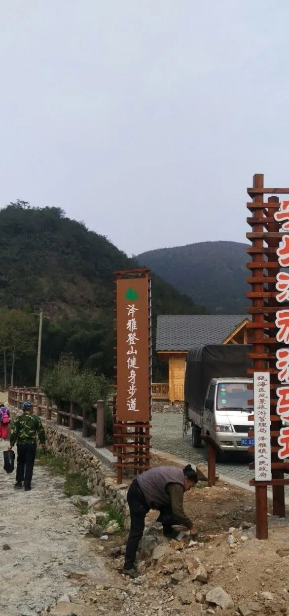
Follow the ancient trail and follow the stream against the current
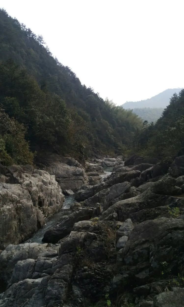
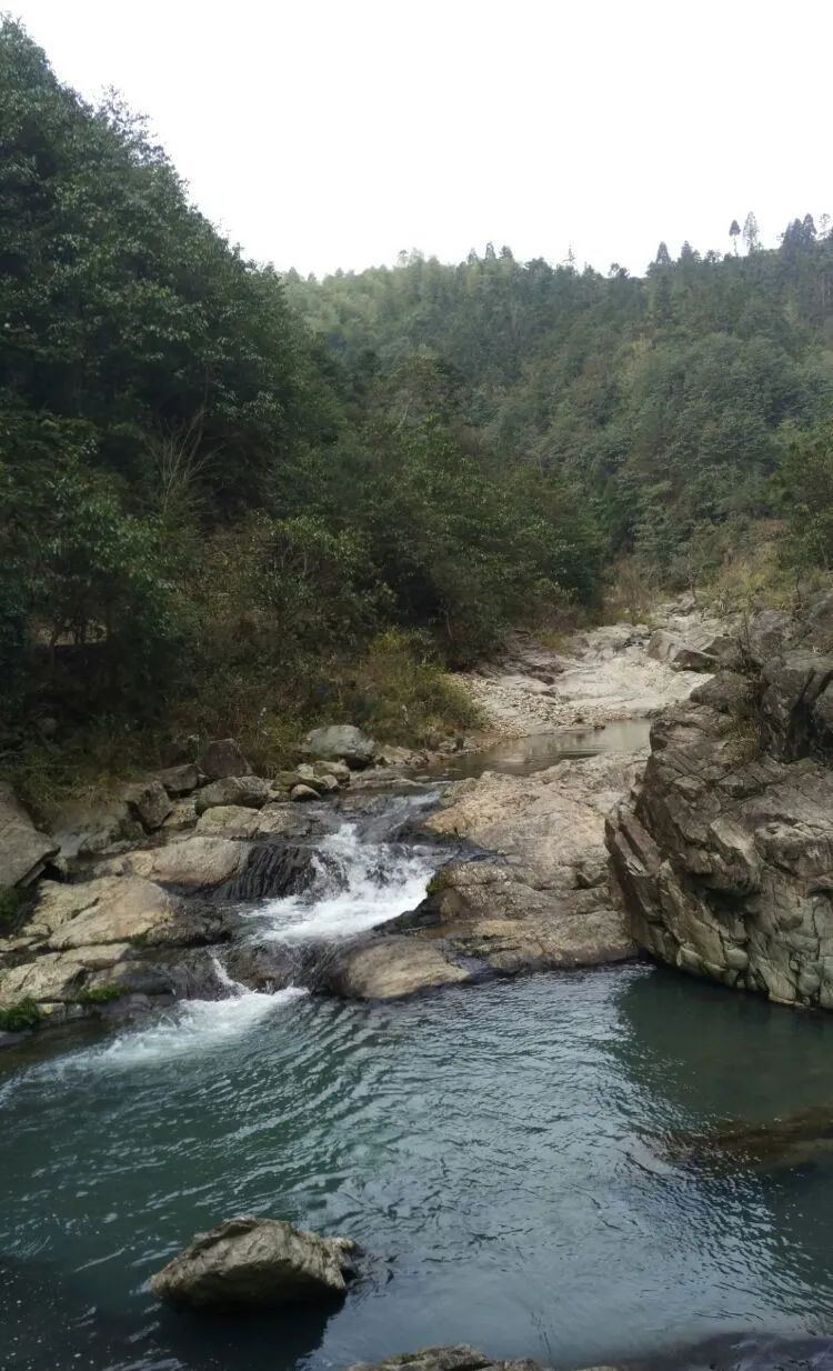
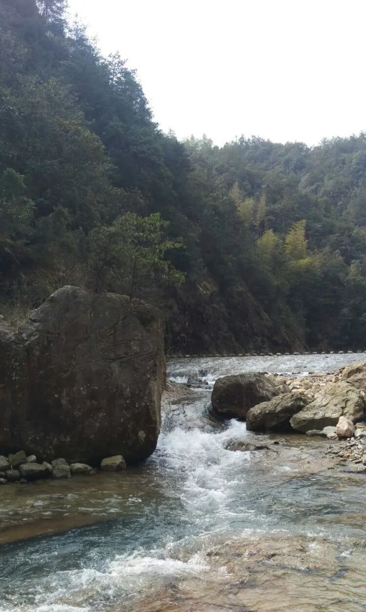
This section of the stream belongs to the lower reaches of Anle River, and the river bed is quite unique.

The water flowed slightly up and down between the ravines


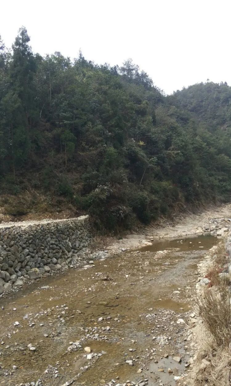
A small section of the road was cut off. Just imagine how violent the flash flood would be.
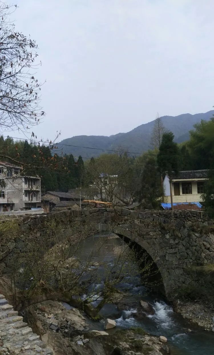
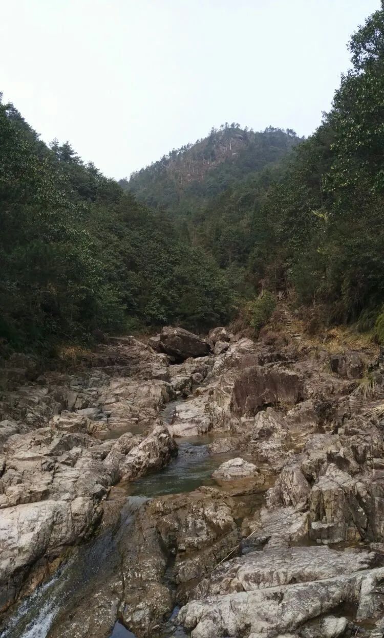
After walking through the valley, we arrived at Waiye Village.
Waiye Village has beautiful scenery and simple folk customs

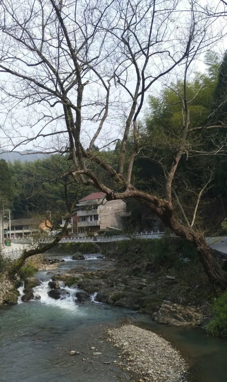
Anle Stream passes through the village, and the paths along the stream lead to the same destination in different ways.
gurgling stream

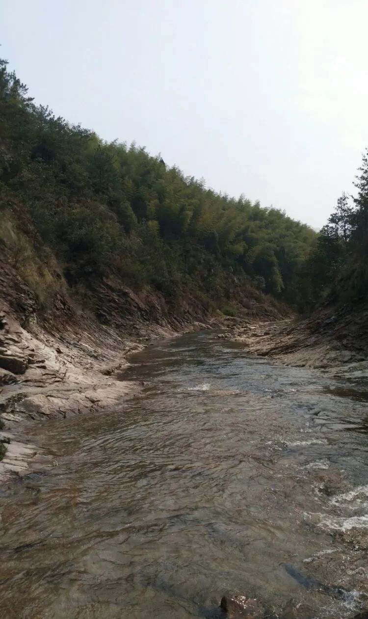
A lost pearl falls at the mouth of the valley. There are mountains and barriers, and there is a power station in front.

turn a corner
Arrive at Anlexi Village
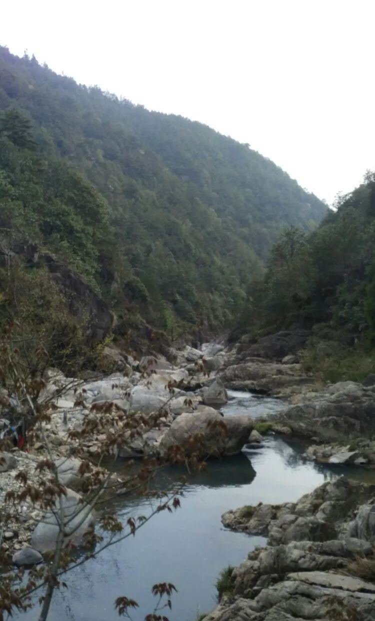
Above Anlexi Village, the water flow obviously slows down.

intertwined riverbeds

Green clear pool

Charming Four Falls
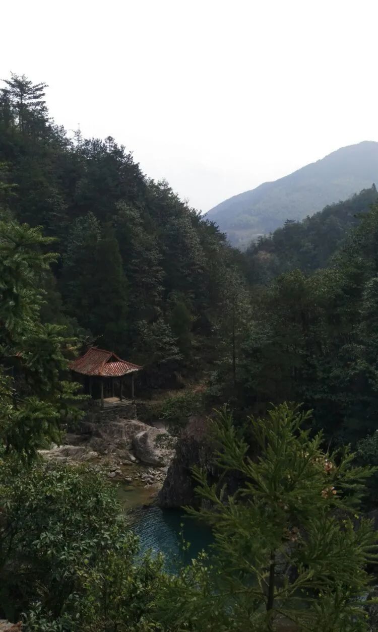
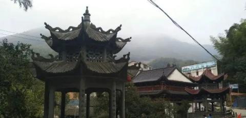
The waterfall viewing gallery pavilion looks slightly dilapidated and desolate.

Walk through the aqueduct

Across high hills

Continue to reach the top, the stone steps are very long.

5,000 acres of alpine meadow on the top of Qiyun Mountain
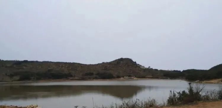
We arrived at the mountaintop lake. The lake is not big and the water is not clear.

Behind the Tutu Temple by the lake, there is a shallow well named Longjing. The water in Longjing is clear and sweet. From time to time, strings of water bubbles protrude from the bottom of the well, and walkers sometimes take the water for drinking directly or canning it to take away.
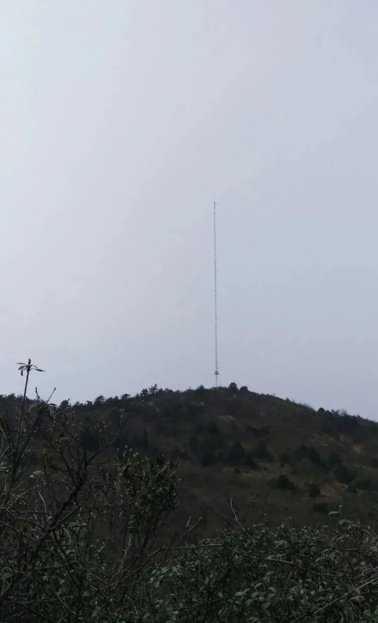
The main peak is the signal tower on the left side of the temple. Qiyun Mountain is 1164 meters above sea level. Although it is not too high, it is located at the junction of Qingtian and Wenzhou and is famous as the highest peak in Wenzhou City.

Successfully summited!

The larger water body on the left is the ancient crater lake, and the far right is the Qiyunshan Reservoir in the direction of Ruian.
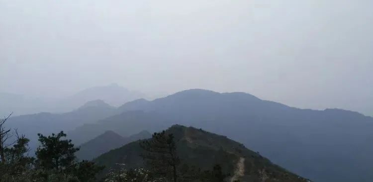
Behind the mountains in the distance is Jinzi Mountain, the highest peak in Ruian. It is 1,320 meters high and is a head higher than Qiyun Mountain.
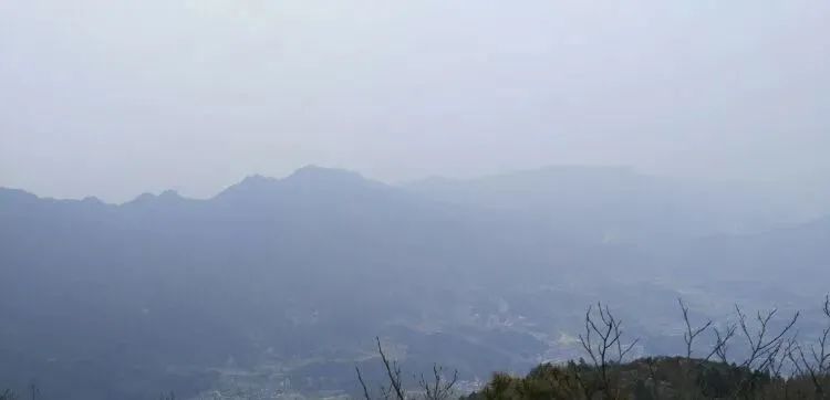
Overlooking Qingtian Fangshan Township is the destination of our trip.
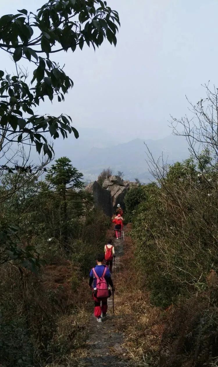
The Qingtian side of Qiyun Mountain is relatively steep, and the ancient trail down the mountain keeps cutting in an S-shape in the mountains. In order to protect the legs and feet, the mountaineers have slowed down a lot.
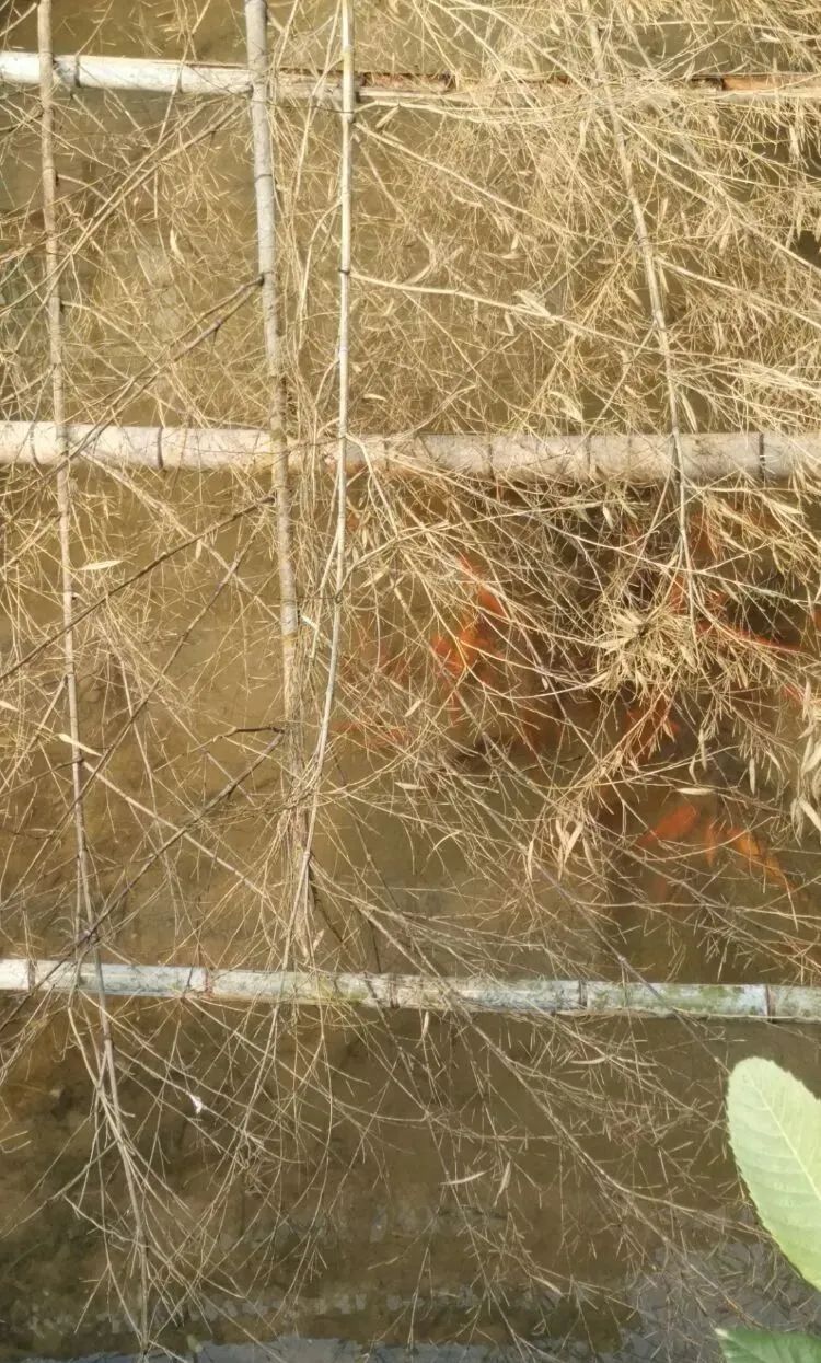
Because I took a shortcut, I missed Longxian Village, the planned hometown of the famous field fish village, and entered Shaoshan Village. There were also many field fish raised in the rice fields in front of and behind the houses of the residents in this village.

Fangshan Township is surrounded by mountains and is a basin. At this point, the crossing journey ends, with a total distance of 13.77 kilometers.