▼Road Book

▼
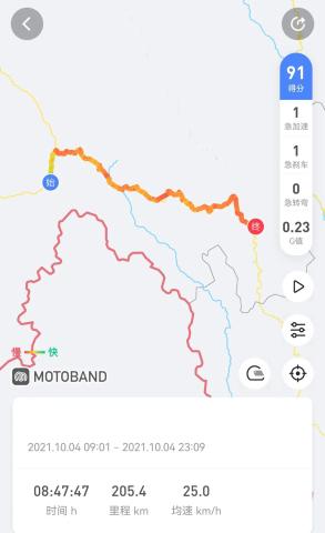
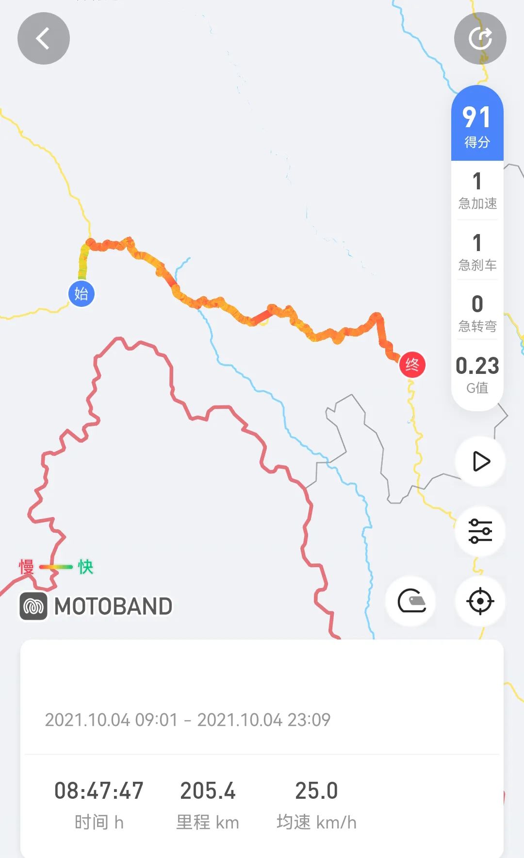
▼On October 4, 2021, Chayu-Chawalong, showers. It was rainy and foggy, and I checked the water tank for no water. Akun happened to have a spare, which was a real help in times of need. I wanted to treat Akun to breakfast. They planned to go back to Ranwu today. They were not in a hurry. I was in a hurry and had to leave first.

▼

▼The 16-kilometer asphalt road reaches Sangjiu. The Sangjiu border checkpoint is Chawaloncha Road, and the asphalt road ends here.

▼What greeted me was a washboard road and a crater road. The resonance of the washboard road hurts the car the most . As for how bad it is, you will only know how bad it is after walking on it. The navigation from Chayu to Chawalong is 225 kilometers, and the error of all road signs on the road is more than 50 kilometers.

▼

▼Bingchacha is the abbreviation of three place names, Bingzhongluo Township, Gongshan County, Yunnan Province - Chawalong Township, Chayu County, Tibet - Chayu County

▼

▼

▼It rains sometimes and is sunny sometimes. The weather is cloudy and sunny. It continues to climb and the temperature drops rapidly.

▼The winding mountain road, layer after layer, bend after bend

▼Usnea, common in plateau forests, with numerous thin branches, like threads, growing by clinging to other things

▼

▼The Bingchacha Route is the most difficult and dangerous route into Tibet, and the most beautiful and primitive scenery. It might be a bit far-fetched to say it is a highway.

▼

▼Due to poor road conditions and dangerous roads, few people choose to enter Tibet from here, which makes Bingchacha even more mysterious.

▼Bingchacha has a total length of about 270 kilometers, including Bingcha Highway and Chacha Line. It was completed and opened to traffic in 2009 and is known as the seventh road into Tibet.

▼The first mountain, Yixiula Pass, is 4,706 meters above sea level. Shivering in the cold wind, I wear cotton clothes and trousers again.

▼

▼There is a small village at the foot of the mountain for food and accommodation

▼

▼I was the only one on the road, but I couldn’t avoid these shell craters, they were too dense.

▼Going to climb the mountain again

▼

▼

▼

▼Looking at the distant mountains, where does the dirt road end?

▼The second mountain, Changla Pass, 4498 meters above sea level

▼It depends on the situation. It is raining in the distance. If it rains on this road condition, a crash will become unavoidable.

▼

▼

▼Xiaohaizi in the valley should look like a sapphire on a sunny day

▼

▼

▼The unnamed pass has just experienced a mudslide, and there are broken trees and gravel on the road

▼Nomu Village is located in a narrow valley, surrounded by snow-capped mountains and has pleasant scenery. It is the best resting point on the way to Chawalon.

▼

▼We are still half way, keep on going

▼Endless mountains to climb, endless bad roads to walk

▼

▼

▼

▼The winding mountain road is extremely long, and there is no grass growing on the mountain.

▼

▼The rain is getting heavier, mixed with snow and hail

▼Xiongzhu La Pass, 4636 meters above sea level. I was very embarrassed in the wind and rain. I heard that there are three big mountains in Bingchacha, which means that I won’t be able to climb mountains later. I went down the mountain with a little joy.

▼When going downhill and slipping in the mud, you have to control the balance of the car body with force

▼

▼Rubbles continue to fall in the rockfall area

▼

▼

▼

▼Mist-locked snow peaks, like a song or a dream

▼

▼Looking back at the pass

▼The continuous snow-capped mountains are looming, maybe the western slope of Meili Snow Mountain

▼

▼ Keep going downhill and enter the virgin forest again. I am cold and hungry. The sky is getting dark. There is no signal on my mobile phone. Where are you, Chawalon?

▼

▼The sky is covered with trees. According to common sense, there should be a lot of wild animals. I dare not stop at all. If I drive at a speed of more than ten yards, I am afraid that I will not be able to escape the attack of any animal. The motorcycle makes abnormal noises in multiple directions, indicating that a screw is loose or fallen off.

▼Night falls, the Milky Way rises into the sky, and the stars are scattered in the forest. Although the scenery is beautiful, it cannot resist the fear in my heart. As you continue to go downhill, the air pressure compresses your eardrums, and you will become deaf after a few turns. From time to time, you have to prepare for your hearing to return. The temperature rose, the air became dry, and the sound of the river crashing was very loud, and it was speculated that it was the Nujiang Grand Canyon. The road surface was made of raised stones and was very slippery. The visibility when turning was limited and I had no time to avoid it. I fell down many times.

▼

▼

▼After driving for a long time, a bridge appeared in front of us. It was indeed the Nujiang Bridge. I finally saw hope. I hesitate to camp at the observation deck. If I continue to move forward, I will miss the meeting of the two rivers and Meili Snow Mountain. Safety first, keep moving forward. The Nujiang Canyon Road is even worse. There are steep slopes up and down. There are more and bigger stones on the road. It is very easy to stall when driving at low speeds.

▼ After 4 hours of traveling at night, we arrived at Tsavalong. Milestone 6666 is in Tsavalong. It was already 11 o’clock in the evening. I was exhausted and my hands were still shaking. It was the National Day holiday. , the price of the hotel is quite impressive, the gas station is proofed at night, and the sidewalk camping

