The average altitude of Guizhou is about 1,100 meters. The landform belongs to the plateau and mountainous areas of southwest China. The terrain is higher in the west and lower in the east, sloping from the center to the north, east and south.
The highest altitude in Guizhou is 2900.8 meters, and the lowest altitude is 147.8 meters.
The highest altitude point is located at Jiucaiping, Zhushi Township, Hezhang County, and the lowest altitude point is located at the provincial boundary of Shuikou River, Diping Township, Liping County, Qiandongnan Prefecture.
Jiucaiping is located in Guizhou. There are two peaks, namely "Big Jiucaiping" and "Little Jiucaiping". They belong to the Asili West Scenic Area in Hezhang County.
Xiaojiucaiping is located in the south of Hezhang County, Bijie City, adjacent to Ertang Town in Weining County and Dawan Town in Liupanshui.
The main peak of Xiaojiucaiping is 2900.8 meters above sea level. It is located in Yi Township, Zhu City, Hezhang County, Bijie City. It is the highest peak in Guizhou and is known as the "Roof of Guizhou".
Dajiucaiping is located in Xingfa Miao, Yi and Hui Township, Hezhang County, Bijie City. It is the largest wild leek flower belt in the world and the only wild leek flower reserve in the country.
Features of the two places: Dajiucaiping is the largest wild chive flower belt in the world; Xiaojiucaiping Stone Forest is a unique wonder, and its main peak, Jiucaiping, is the highest peak in Guizhou.
This itinerary is a weekend self-driving tour of Xiaojiucaiping camping to watch the sunrise. Climb to the top of Guizhou to appreciate the majestic scenery of the highest point in Guizhou!
Xiaojiucaiping Scenic Area consists of five parts: Jiucaiping on the roof of Guizhou (2900.8 meters above sea level), Luobu Stone Forest (total area of 1,500 acres), ethnic village Hongxing Village, wind power generation, and tiankeng.
It was already afternoon when we drove to the scenic spot.

The setting sun shines through the clouds on the mountains, like a scroll slowly unfolding...

In the corner of the sky, the sky is blue, and my mood suddenly becomes brighter!

Thousands of rays of light, a few meters of sunlight, and the beautiful scenery of the setting sun comes into view!


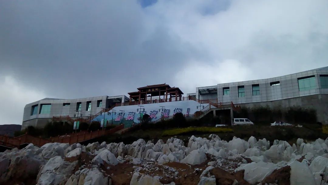
Having climbed halfway up the mountain, I looked back and saw that the reception desk of the scenic spot was already far away.

The road is easy to walk, and there are planks paved with antiseptic wood all the way.

Various stones on the hillside form a natural stone forest.

It looks very vast from the mountainside.

Tonight’s campsite has grass all over the slopes, an excellent environment!

The skyline is beautiful at this time!

Night is coming soon...

When I woke up early the next morning, it was a pity that I couldn't see the sunrise because the clouds were too thick. There was already a thin layer of ice on the boardwalk.

The sun is out, the temperature is gradually rising, the sky is very blue, and the air is very pure. There is no feeling of hypoxia at this altitude, and for most people, altitude sickness should not occur.

The top of Guizhou!

There are many wind turbine units for wind power generation on the top of the mountain, which is very spectacular from a distance!

Looking out over the mountains, the horizon is endless…


Check in at 2900.8 meters!

At the GPS altitude measurement point, my mountaineering watch has some errors due to the air pressure. This is undoubtedly the highest point in Guizhou!

Looking out from the camping site are mountains and sea of clouds. This view is so pleasant!

The sea of clouds engulfed the mountains...

The whole journey is a wooden plank road, and the supporting facilities in the scenic area are well done.

Natural stone forest with strange shapes!


Packing up camping gear and getting ready to return...


The roadside is full of roasted potatoes, a typical Guizhou specialty. The original roasted potatoes taste good and are worth trying!

The two-day weekend trip ended happily, and we completed our journey to the top of Guizhou!
