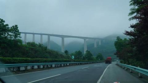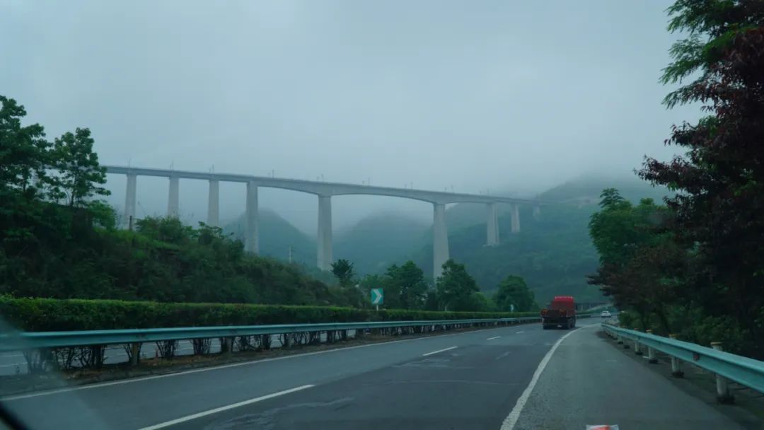
After Maotai Town, there is nothing left in the north of Guiyang, and we will turn to Qianxinan Prefecture as planned. The entire journey of this Guizhou tour starts from Guiyang, first heading southeast, then turning to the east, and then turning to the north. This time we are going from the north to the southwest, and we have to pass through Guiyang, but we pass through Guiyang’s West Ring Expressway, a total of 300 kilometers and three and a half hours. Qianxinan Prefecture has more abundant tourism resources. The famous Huangguoshu Waterfall is in this direction. Although I have been there before, I still want to go there again, so this is my goal today.
Guizhou has many high-speed bridges and tunnels, which are actually a landscape in itself.


The high-speed railway bridge we passed just in time for a train to pass through, how spectacular it is!
It was almost noon when we arrived at Huangguoshu, and it happened to be raining. We parked the car in the parking lot as instructed, and some unscrupulous tour guides came up to solicit customers. Anyway, our principle is to resolutely follow the formal route and just ignore them. But from another perspective, the level of tourism management here is very average!
I went to buy the tickets and found out that the Huangguoshu tourist area actually includes three places, namely Doupotang Scenic Area, Tianxing Bridge Scenic Area and the Core Scenic Area. I must have only been to the Core Scenic Area when I came here before!
Braving the light rain, we walked to the scenic bus station and waited for the bus to arrive. Steep Potang Scenic Area and Tianxing Bridge Scenic Area are not far away. We plan to visit these two places today and come back to see them tomorrow morning. Core scenic spots.
I got off the bus at Doupotang Station. When I walked inside, I was looking for an elephant waterfall. I took pictures of small splashes when I saw them, for fear of missing them.


It seems a bit similar.
When you actually see the true form of the waterfall, all your doubts are gone and there is no way you can misunderstand it.

The deafening sound of the waterfall


Doesn’t this waterfall look familiar? When the song "May I Ask Where is the Road" played at the end of the 1983 version of "Journey to the West", the four masters and apprentices walked over this waterfall. You can go and review the TV series


After this place, go back and take some photos. Next, you can walk to Tianxing Bridge or the core scenic spot. We went to Tianxing Bridge as planned.
Tianxing Bridge Scenic Area includes Tianxing Bonsai Area, Tianxing Cave Scenic Area and Water Stone Forest Area. Here, stalagmites are densely packed, vegetation is lush, water reaches the scenery, and mountains, water, forests, and caves are integrated into one.
The Tianxing Bonsai Area is about 800 meters long and is located on the surface of a 500-meter long undercurrent and the west side of the river bank. There are large and small natural rocks and water stone bonsai. A three-kilometer stone path runs through stone walls, stone trenches, and crevices, winding over bonsai trees.

The interesting thing about the stone path is the 365-day mark. Everyone walks on it, so of course I took a photo of my birthday.
Then enter the Tianxing Cave Scenic Area.


The distance we walked was quite long, and the rocks looked strangely shaped.


The wooden bridge deck is slippery


Does this place look familiar? Gao Laozhuang in the 1983 version of "Journey to the West" was filmed here. This house was originally built for the filming of the TV series and is now a small shop.


This bridge is the Tianxing Bridge. When I walked over it, I didn’t think it was anything special.

When you look down from the bridge, you can feel that the bridge is quite high.


After crossing the bridge, I went down to the ground and looked again. It really deserves the name Tianxing!

This place was very slippery after the rain, so I unfortunately fell down, but fortunately there were no consequences.
The next one is the Water Stone Forest Scenic Area, starting to enter the place with water. The famous places here are the Silver Chain Falling Pool Waterfall and Xingxia Waterfall.


Photograph waterfalls with slow shutter speeds


This is the Silver Chain Falling Pool Waterfall, and then there is the real water stone forest.


It was really tiring to get to the end, and there happened to be a cable car to get out.


Taking photos on the high-altitude cable car.
It was only 3:30 in the afternoon when the first two scenic spots ended. We discussed it and decided to finish the core scenic spots again, so there is no need to come in again tomorrow morning. So we took the scenic bus to the core scenic area, got off the bus and walked inside to see the world-famous Huangguoshu Waterfall.

The waterfall finally appeared


Getting closer. The amount of water today is not small, and the other side has been covered with moisture.


main body of waterfall


To see this waterfall, first enter from the lower part, as shown in these pictures, and then go up the steps on the mountain opposite the waterfall.


Viewed from the waist of the waterfall


View from the top of the waterfall.
I could have walked to the back of the waterfall, and the effect would be as good as the Water Curtain Cave in Huaguo Mountain, but unfortunately today due to heavy water, the back part is closed, so I can only stop here!
After leaving the scenic spot, we found the hotel we had booked in advance. It turned out to be a small independent building on the roadside, run by a young man. It was very simple. We went to the hotel next door for dinner. The room was quite big and the conditions were good! Don’t be particular about it! Let’s plan our trip for tomorrow.
