Dahengduan Day 3 Dazhu-Chengdu G318 Complex: Traveling through the Sichuan Basin

July 2, 2022 | Heavy rain turning to cloudy | Chengdu Renhe Spring Hotel | 482 kilometers
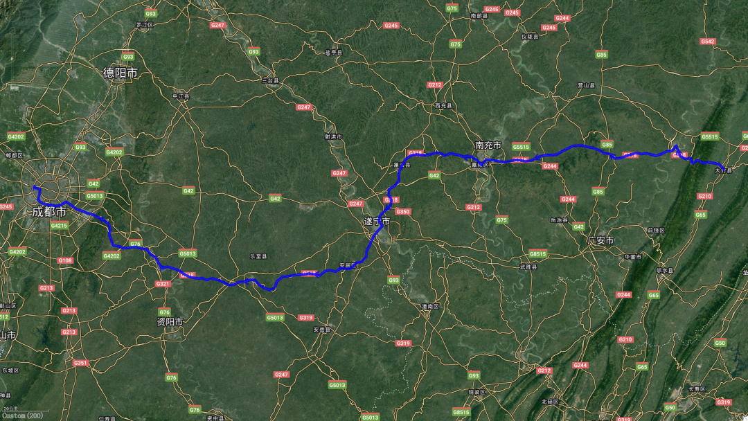
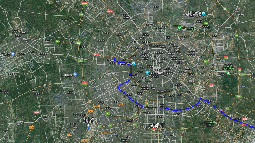
This is today’s trajectory. Except for Qujiang County, which has closed 300 meters of National Highway 318, walking on the national highway is extremely strict at other times.
Coming out of Dazhu, Blade Brothers No. 4 - Huaying Mountain - is in front of you. After climbing over it, you can enter the Sichuan Basin in a narrow sense.
Continuing forward, you need to cross two large rivers - Jialing River and Fujiang River in Nanchong and Suining respectively.
From Suining to Chengdu, we are still walking among the ups and downs of the basin and hills.

Before arriving in Chengdu, you need to climb the nearest mountain to Chengdu - Longquan Mountain.
Arrive at hotel

In fact, no map can explain clearly how National Highway 318 travels in Chengdu. After my unremitting efforts and research, I basically found its direction (see the red line, if there is any mistake, please correct me). This section of road has actually become a highway (you really know how to play in Chengdu) and has lost its original flavor. But no matter what, I still want to finish you off
*************************************
When I wake up in the morning, I habitually open the curtains to check the weather. When I look at it, my heart suddenly freezes: it’s raining.
Every time I go out, it is always accompanied by heavy rain. Am I Xiao Jingteng?
Especially during last summer's "Border Patrol for the Country" trip, it rained almost every day in the first few days. The heavy rain not only prevented me from taking any photos, but I also didn’t dare to take the secret path I wanted to take. It also dampened my buddy’s enthusiasm.
Lao Tie thought to himself, this is the first time I go out with you to play, and you just want me to watch the rain?
Later, Lao Tie drove away in his car and went directly to Inner Mongolia.
Hey, this is really depressing.
Is today’s weather going to repeat last year’s story?
Hey, even if you want to repeat last year's story, I can't do anything to you. When you should hit the road, you still have to hit the road.

Look, the rain is falling happily
*************************************
Not long after leaving Dazhu County, I came to Daofeng Laosi.
It is understandable that many people are not familiar with the eldest, second and third brothers of the Blade Brothers, but if they are not familiar with the fourth brother, they have to make a mistake.
In the movie "Mobile Phone" that Uncle Ge collaborated with Feng Xiaogang (this is my personal favorite work of the two of them), there is a scene: Yan Shouyi returned to his girlfriend's house after attending the wedding of his girlfriend's best friend, and he seemed extremely excited. Lying on the bed, I started singing: Spring has come again, and poplar flowers are floating all over the sky. Huaying Mountain stands tall and majestic. The waves of the Jialing River float...
The fourth brother of the Blade Brothers is from Huaying Mountain.
However, when walking in this mountain, I didn't feel how tall it was. Instead, it seemed to have similar personalities to the eldest, second and third eldest son who walked by it yesterday.
Because of this and the fact that it was raining, I had neither the need nor the interest to stop and take photos.
Although the mountain is not high, the road is winding and winding. Walking in the mountain feels very time-consuming: it took more than half an hour to cross the mountain range, which is as thin as a razor blade as seen on the map.
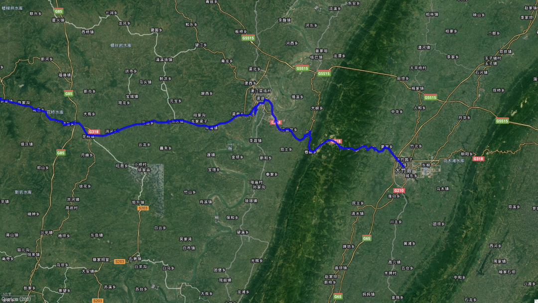
At 9:50 in the morning, I arrived in Qu County.
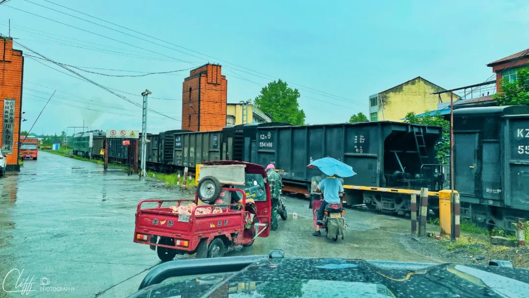
Just after coming down from the mountain, we came to a train crossing. Nowadays, with the popularity of viaducts and overpasses, there are almost no such crossings, but I never expected to meet one here. Okay, just be patient and watch the train show.
*************************************
Qu County, named after the Qujiang River, is a small city and a completely unimportant place on my itinerary.
However, this is the place where National Highway 318 is blocked so tightly that even flies can hardly fly over.
In desperation, I had to take a detour.
I circled back to the national highway again, only to find that they had only closed about 300 meters. However, it is these 300 meters that make my love for National Highway 318 imperfect.
How annoying!
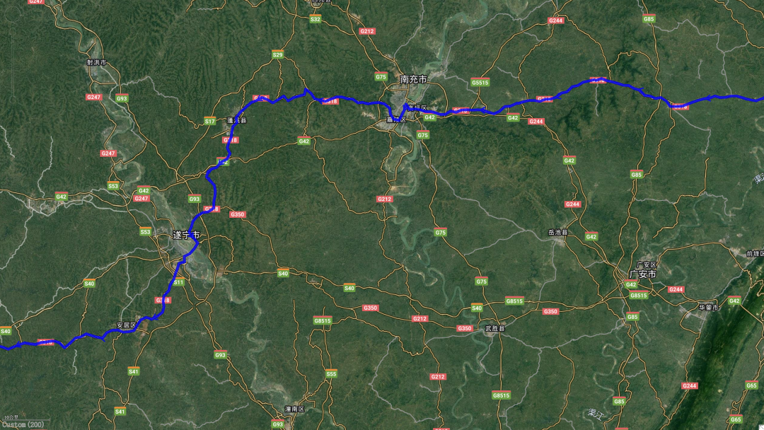
After leaving Quxian and continuing forward, we walked out of Dazhou and came to Guang'an.
This is the northernmost edge of Guang'an. Not long after, the national highway left Guang'an and entered Nanchong.
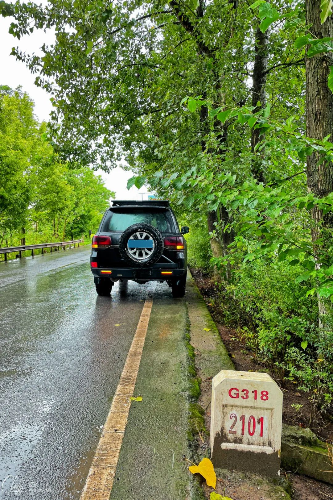
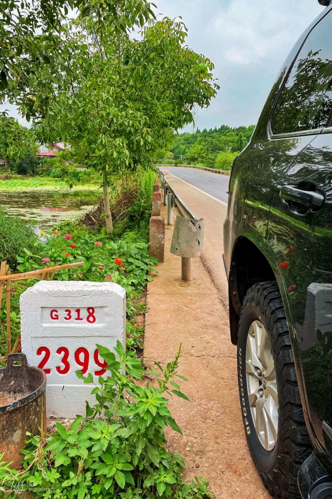
In Guang'an, the rain stopped a little bit, so I randomly found a road sign and opened the camera.
Video: July 2, 2022 I left Dazhu and planned to continue along National Highway 318 to Chengdu. Unfortunately, it started to rain, which was really depressing. It seems like every time I go out, the rain comes and mixes it up.
*************************************
On the fourth day of last year’s “Autumn in the Qinling Mountains” trip, I left Wanzhou and took the expressway to Chengdu.
There was a serious traffic jam along the way. When I reached Nanchong, I thought I would simply avoid the traffic jam and get off the expressway to the Jialing River to take pictures of this big river.
This river, when I was on my way from Sichuan to Shanghai to study, I would see it through the train window almost every year. Every time I sigh: This river is so big!
The first time I saw it in the true sense was when I was on a business trip to Chongqing and came to the famous Chaotianmen Pier. Here, I saw the green Jialing River water flowing into the turbid Yangtze River.
Unfortunately, it took a long time to get to the riverside, but the attempt failed because of the no-fly zone at Nanchong Airport. In desperation, we had to return to the expressway and continue walking towards Chengdu.
Of course, later on, on the way from Mianyang to Qinling Mountains, I again saw the Jialing River section that I saw from the train window. I also took a photo, which was an inexplicable little wish.
This time, I don’t want to take pictures of it again. Maybe, when I return to Chaotianmen next time, I can use the drone to appreciate it.
*************************************
It was 12 noon when we arrived in Nanchong. The rain was getting heavier. The wipers had been turned on to the maximum, but they still seemed helpless.
In this case, let's go straight ahead.
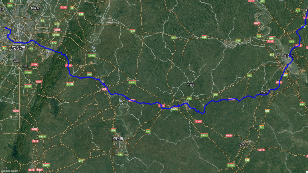
I passed through Nanchong City and walked forward without looking back. Soon, I entered the territory of Suining City.
Not long after I entered Suining, I saw such a majestic road monument. Although it was raining, it still couldn't stop me from taking a photo of it.
Slowly arriving in the urban area of Suining, the rain seemed to stop suddenly, and the sun shone through the slightly thick clouds.
Ouch, so cute!
Now, it's 2:10 pm.
Since the weather is pleasant and I'm hungry, let's have lunch in Suining.
So I ordered a bowl of rice noodles with braised beef + braised large intestine at a small restaurant on the south bank of Fujiang River, and ate it happily.
I eat rice noodles like this almost every day in my hometown of Mianzhu. It is an extremely delicious food and one of the biggest reasons why I want to go back to my hometown every time.
Although the taste of Suining rice noodles is quite different from that of Mianzhu rice noodles, it still tastes quite fragrant when you eat it at this moment.
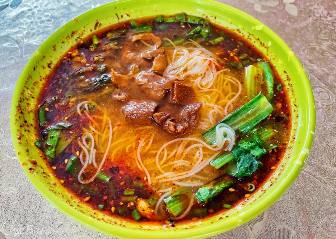
This bowl of rice noodles can score 70 points, right?
After eating, we continued walking, crossed the Fujiang River, the mother river of Mianyang City (of course, the people of Suining also rely on her to support themselves), and soon arrived outside Lezhi County.
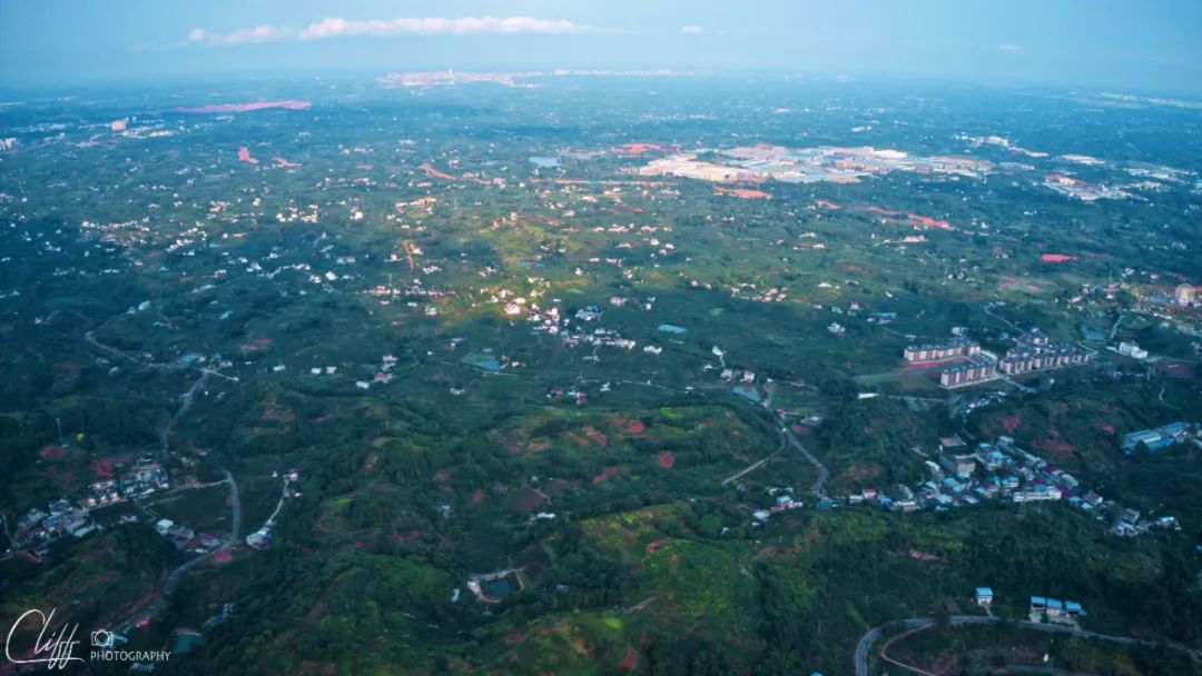
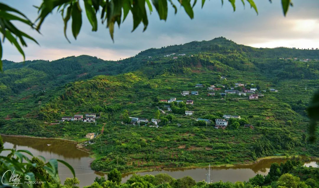
The name Lezhi sounds nice, and it’s not raining now, so I’m very happy. In this case, why not take a break and take aerial photos of this small town and this typical basin landform?
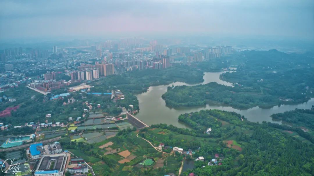
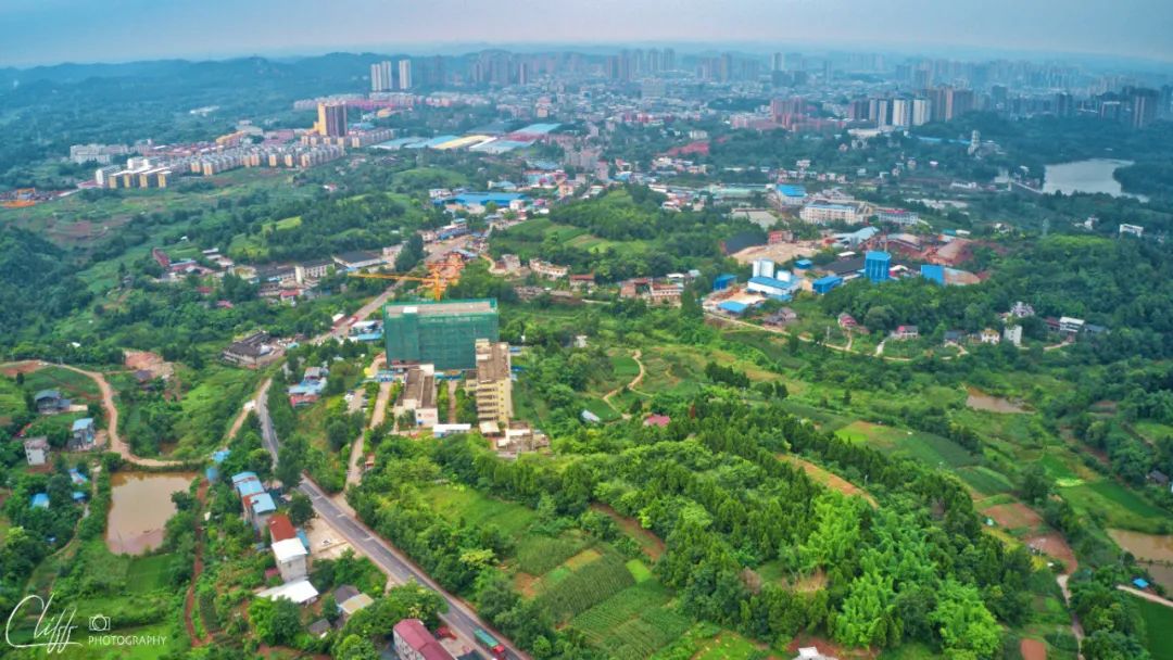
This is Lezhi County
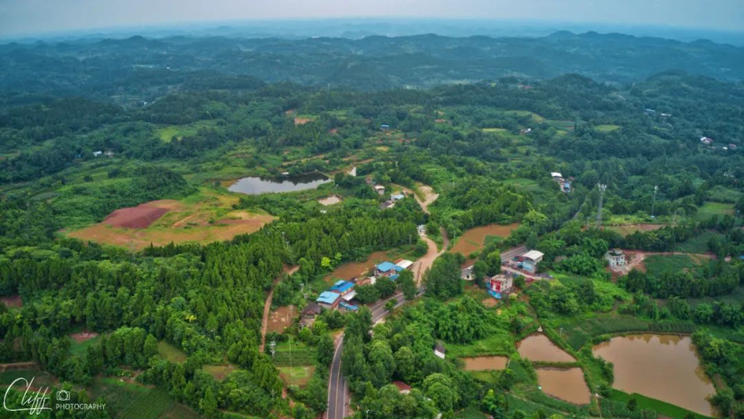
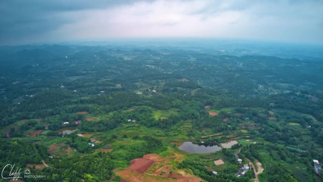

Let’s take a look at the landform of the Sichuan Basin. It is not flat at all.
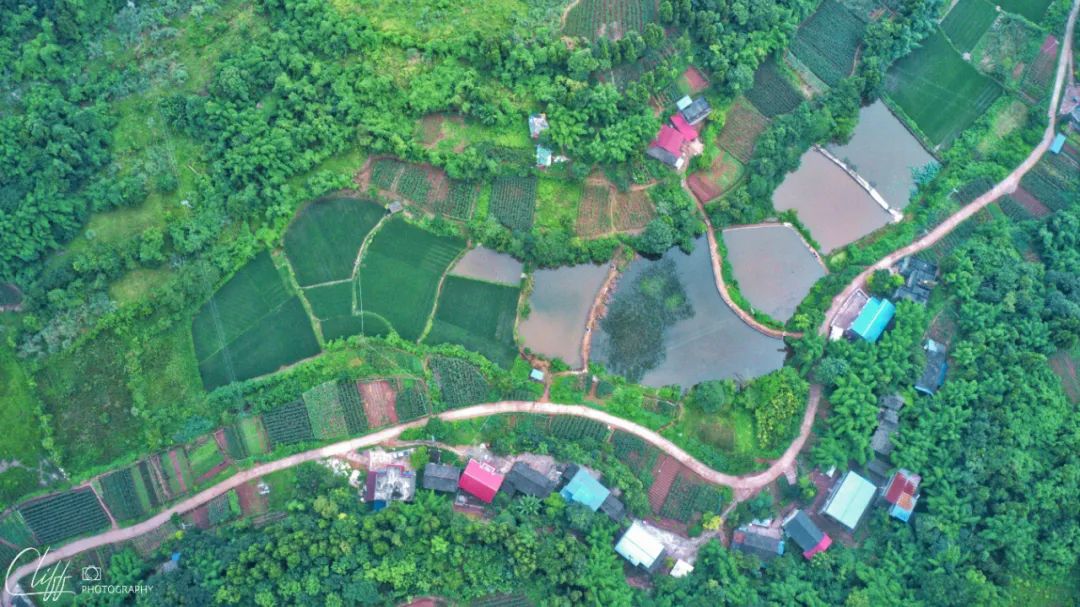
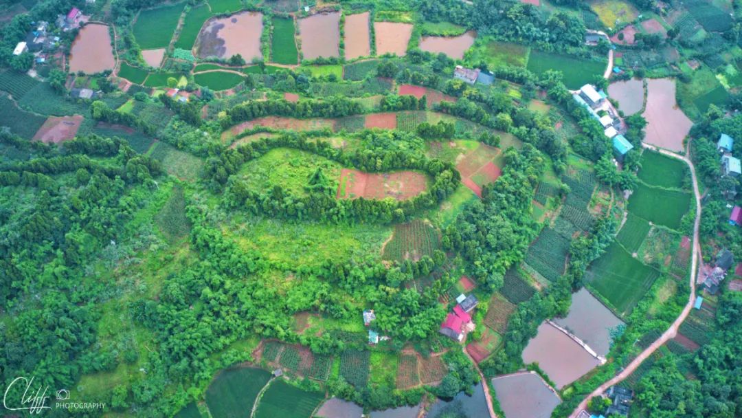
The farmland in the basin is quite beautiful.
Video: At 4:25 pm on July 2, 2022, aerial photography of the small town Lezhi and the Sichuan Basin where it is located. Let’s take a look at what the typical basin landforms look like.
*************************************
Take back the plane and keep moving forward. At 4:52 pm, I entered the Chengdu area.
Although this place belongs to Chengdu, it is still more than 3 hours' drive from the hotel where I want to stay. I dare not neglect it and can only keep walking.
Soon, we arrived in Jianyang City.
Jianyang is a county-level city under Chengdu. The Tuojiang River, a tributary of the Yangtze River, passes through the city.
When I was a child, I had to cross a river called "Mianyuan River" from my hometown of Gongxing Town to Mianzhu County. The river usually has a small flow, but there is no bridge, and the river flows over the road.
Due to the discharge of sewage from the paper mills upstream, the river water is dark brown, with large pieces of foam often floating on the surface, and the river water also exudes a pungent smell.
Crossing the river under such conditions, if you stare at the foam on the water, you will easily become dizzy. I often hear people riding their bikes (or even pushing them) before they suddenly fall under the road (or into the river, of course).
When crossing such a river, your eyes need to look at the distance directly in front of you, and never at your feet. Only in this way can you cross the river smoothly in a straight line.
Of course, during the flood season, the road is completely blocked and no one can walk.
It wasn't until there was a bridge on the river that everyone said goodbye to that dangerous way of crossing the river.
All in all, I have been dealing with this river in this way for decades.
And this Mianyuan River is exactly the upper reaches of Tuojiang River.
Therefore, when I crossed the Tuojiang River today and looked at the wide surface of the river and the clear water, I felt quite warm and emotional.
At 5 p.m., just punch in randomly (what’s the deal with the 8 in 318?)
Video: July 2, 2022 After leaving Nanchong, I continued to travel through the hills of the Sichuan Basin. The heavy rain continued, so I had to walk quickly. At 2:10 in the afternoon, I arrived in Suining. The sky suddenly cleared up, which was really surprising. So I had a meal here and continued walking. At 4:55 pm, I entered Chengdu territory.
*************************************
At 6:25 pm, I arrived at the foot of Longquan Mountain.
This mountain stands like a wall at the east end of Chengdu. It is also the closest mountain to Chengdu.
At this time, the sky is getting late, and the sun appears and disappears in the thick clouds but quietly hides on the back of the mountain; from time to time, the rays of light turn the world into gold and make people unable to open their eyes.
Now, what could be more important than taking photos of this beautiful scene with a drone?
So, I parked the car on the side of the road and took out the drone.
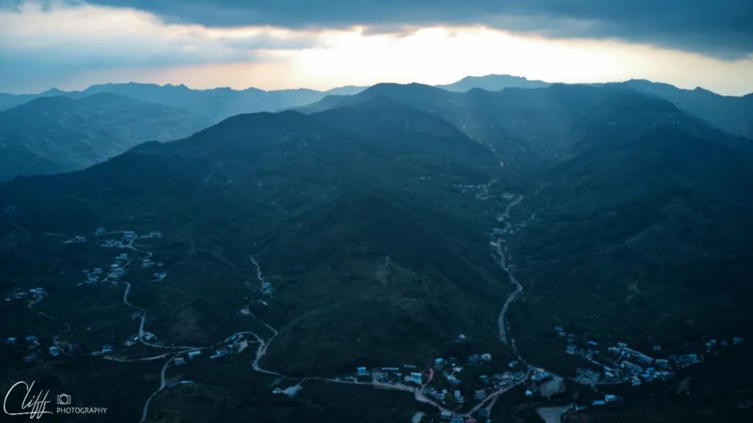
Longquan Mountain and the 318 National Highway winding on it

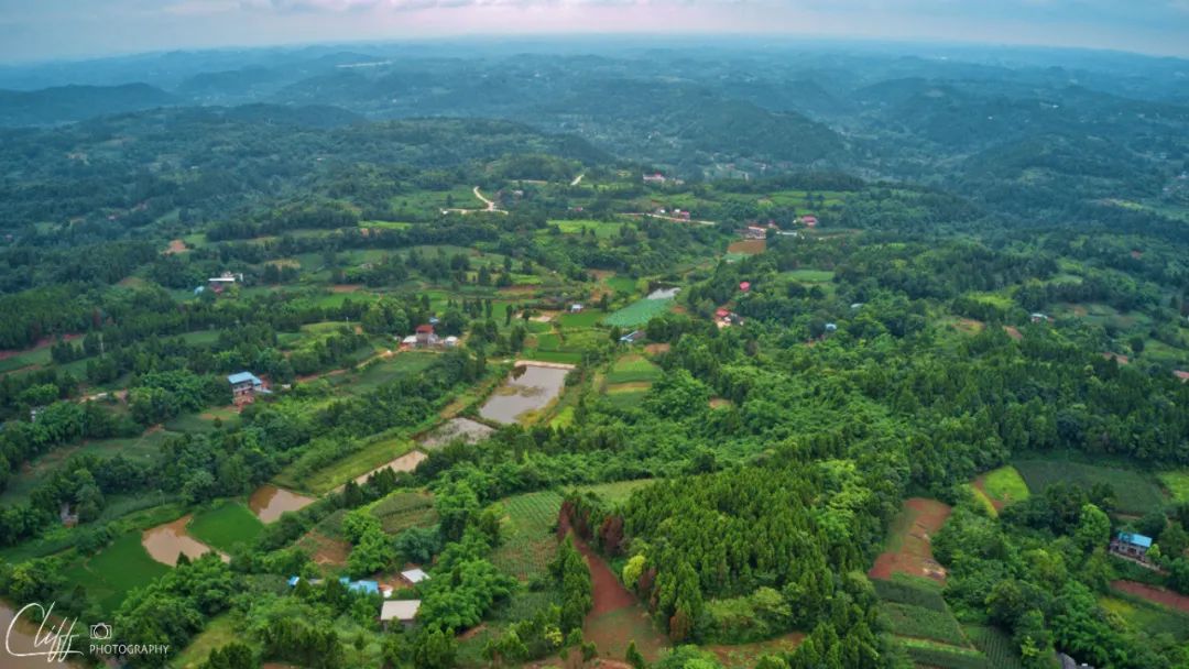
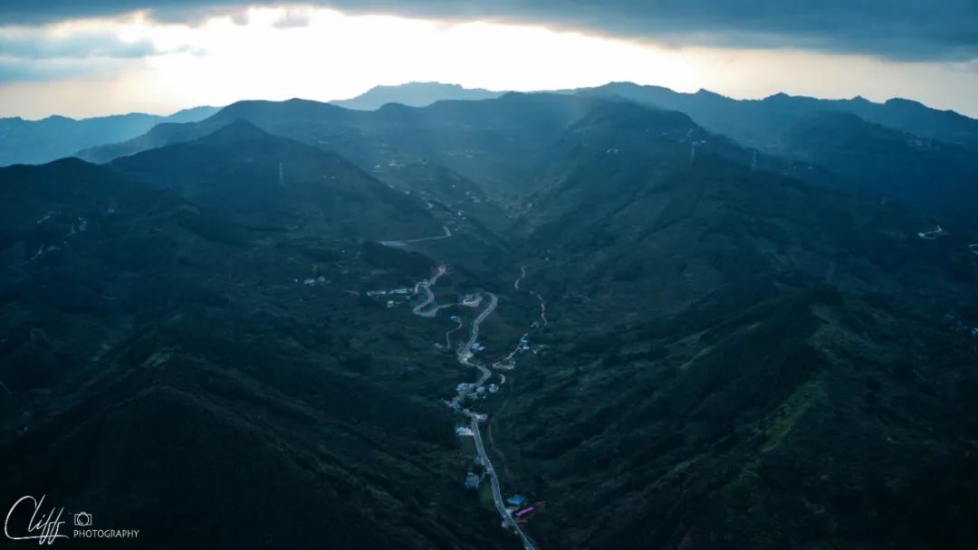
To the south of Longquan Mountain, there are undulating mountains that don’t look like a small mountain at all.
To the north of Longquan Mountain, the "Chengjian Expressway" winds through it

The east side of the mountain is the direction I came from. This is a typical feature of the Sichuan Basin.
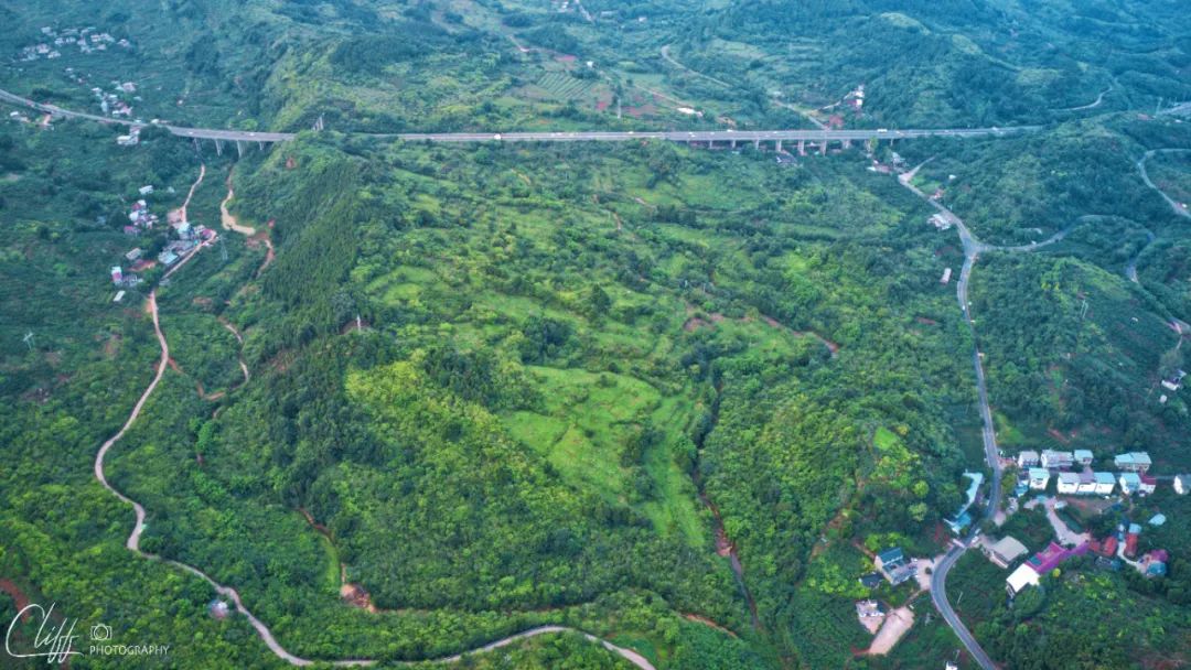

Paipai Highway: The picture above is Chengjian Expressway, the picture below is National Highway 318
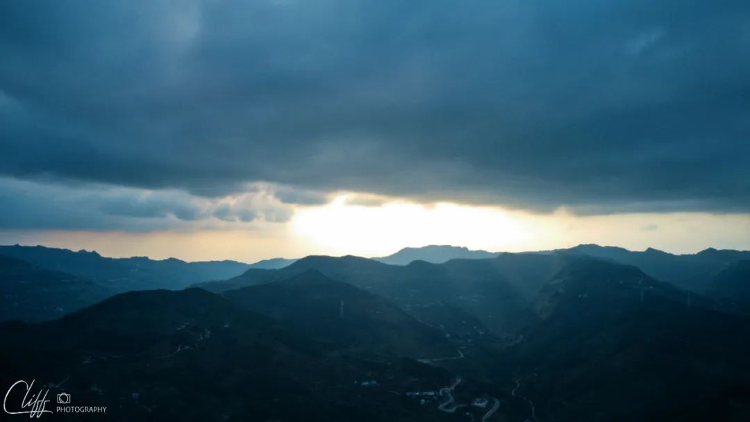
Weird weather: to the west, it seems like rain is about to come; to the east, the sky is clear and clear
Video: At 6:25 pm on July 2, 2022, at the foot of Longquan Mountain, aerial photography of this mountain closest to Chengdu
*************************************
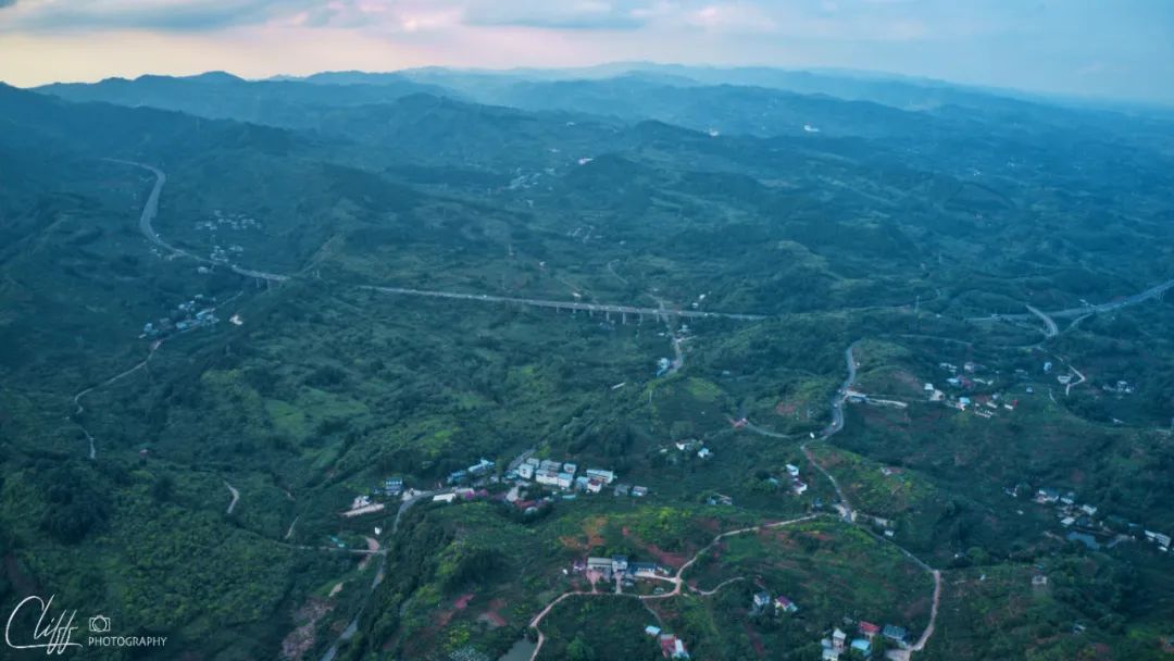
After taking back the drone, I started climbing up the mountain along the national highway.
It seems that Longquan Mountain is much taller than the Blade Brothers I passed before, the mountain roads are more typical, and the scenery is more pleasant.
I slowly came to the top of the mountain while admiring the scenery.
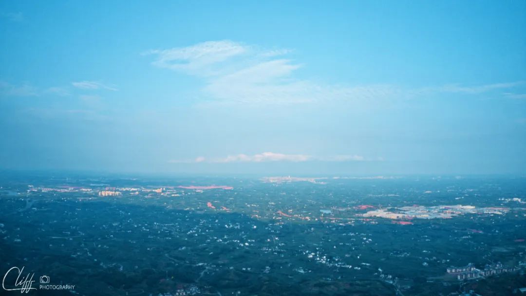
After arriving at the top of the mountain, I found that there were a lot of cars, people, and buildings here. I realized that this was probably the back garden most visited by people in Chengdu, right?
Sure enough, as we walked further, the distant city of Chengdu, a modern and huge city bathed in the sunset, appeared in front of us without reservation.
ah! It turns out that Longquan Mountain is an excellent location for viewing Chengdu City!
No wonder so many people come here to play.
Along the highway are various unique B&Bs, bars and cafes. Each shop is uniquely decorated, and some even have swings hanging on them. Oops, it really brings the sense of leisure to the extreme.
If you have time, spending a weekend here would be a good choice.
However, I can't stay any longer. The king has urged me several times and they are still waiting for me to eat.
So, I passed the slow traffic and quickly descended the mountain and entered the city of Chengdu.
Scenery of Longquan Mountain: There are peach trees on the roadside here. How beautiful would it be in spring?

About to reach the top of Longquan Mountain
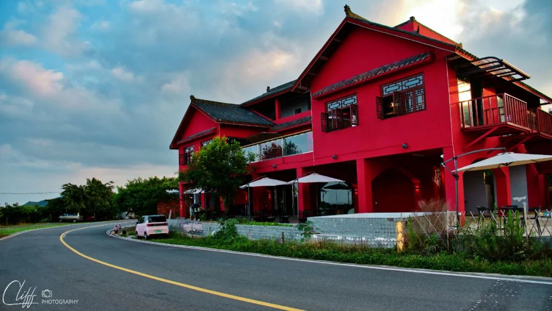
Inn on the mountain

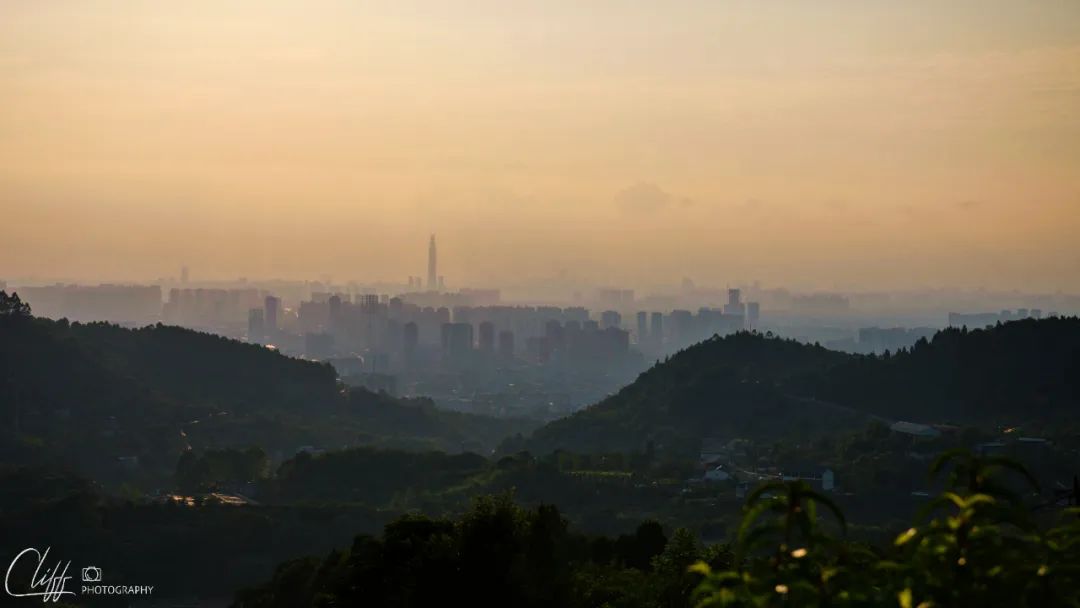

It’s really nice to look at Chengdu from the top of the mountain.

After going down the mountain, we came to Longquanyi District, Chengdu City
*************************************
When I walked to Chengdu, I crossed the Sichuan Basin.
When I walk to Chengdu, I have completed the National Highway 318 from Wanzhou to Chengdu, which also means that I have completed the task of this long section of National Highway 318 from Shanghai People's Square to Chengdu.
Now, the entire 318 National Highway only has two sections from Chengdu to Ya'an and from Tingri County in Tibet to Zhangmu Port in Nyalam County. As for the section from Chengdu to Ya'an, I will leave it until the end of this trip to complete it.
Now, I no longer want to worry about the route or the itinerary. At this moment, I just want to meet the king and the others as soon as possible.
It was already past 8pm when we arrived at the hotel to meet the king. I parked the car and was taken to a restaurant by the King.
It seems that we can finally have a decent meal tonight.
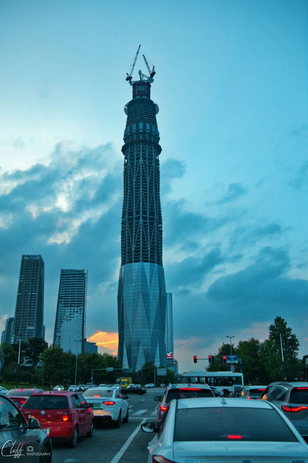
When I came to Chengdu, I saw this tall building under construction - Shufeng 468 from a distance. This is meant to echo the Gongga Mountain.
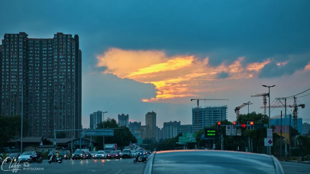
Before going up the South Third Ring Road, I saw the beautiful sunset (which also means it won’t rain tomorrow), so I took a photo of it while waiting at the red light.


The dishes ordered by the king are all my favorites
Comments
No comments yet