The First Peak in Zengcheng: A Hiking Record of Niuguzhang

Hike the secret area of Zengcheng and admire the strange rocks and blue lakes
On September 8, 2022, at the press conference of the Joint Prevention and Control Mechanism of the State Council, the National Health Commission advocated that the general public celebrate the National Day holiday locally. Minimize cross-city travel to avoid the risk of epidemic spread caused by large-scale movement of people. Therefore, the Mid-Autumn Festival holiday in 2022 will be just like the previous May Day holiday, with local festivals and local mountain climbing.
The hiking groups I usually follow mainly focus on short- and medium-term routes during the Mid-Autumn Festival. There are not many routes around Guangzhou, especially the Conghua Ten Climbs I have been planning this year. There is nothing I want to do. I heard about it before The scenery on the first peak of Zengcheng is pretty good, and my little brother who is going cross-country together: Qianyang also wants to go, so let’s go together.
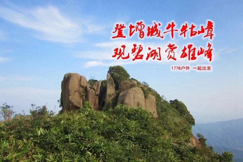
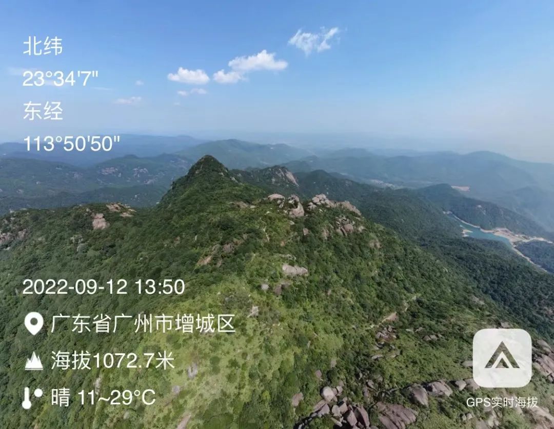
Niuguzhang, also known as Lingshan, is the highest peak in Zengcheng with an altitude of 1084.3 meters. It is located at the junction of Paitan Town and Longmen County in the north of Zengcheng. It overlooks Nankun Mountain in the north. It is composed of four peaks over 1000 meters: 1 peak There are two young rats lying on top. The top of one peak looks like an upright bull's head with eyes, the top of one peak is like a bamboo hat, and the top of the other peak looks like a lying buffalo. Because the mountain looks like a buffalo lying in the water, it is called Niuguzhang.


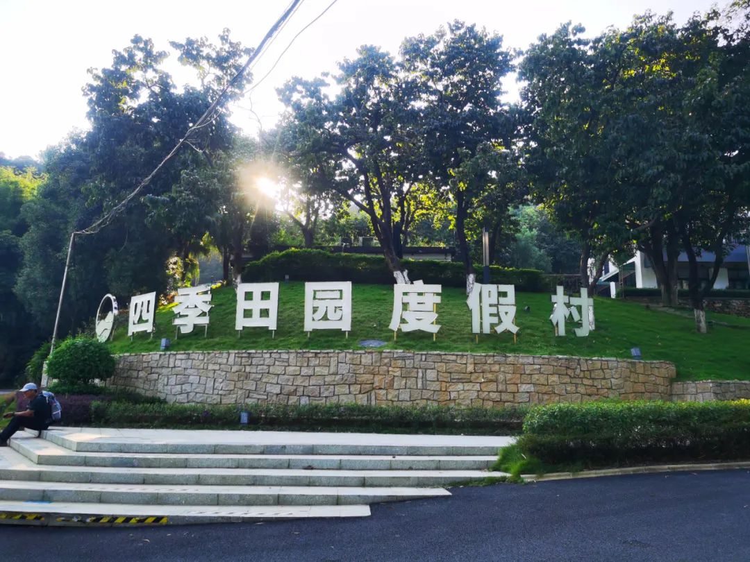
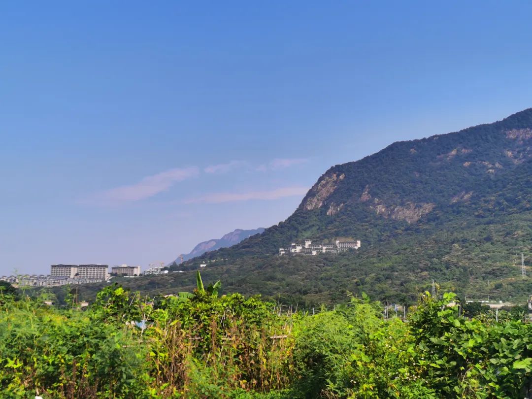 Once the most luxurious hot spring hotel in Zengcheng - Golden Leaf
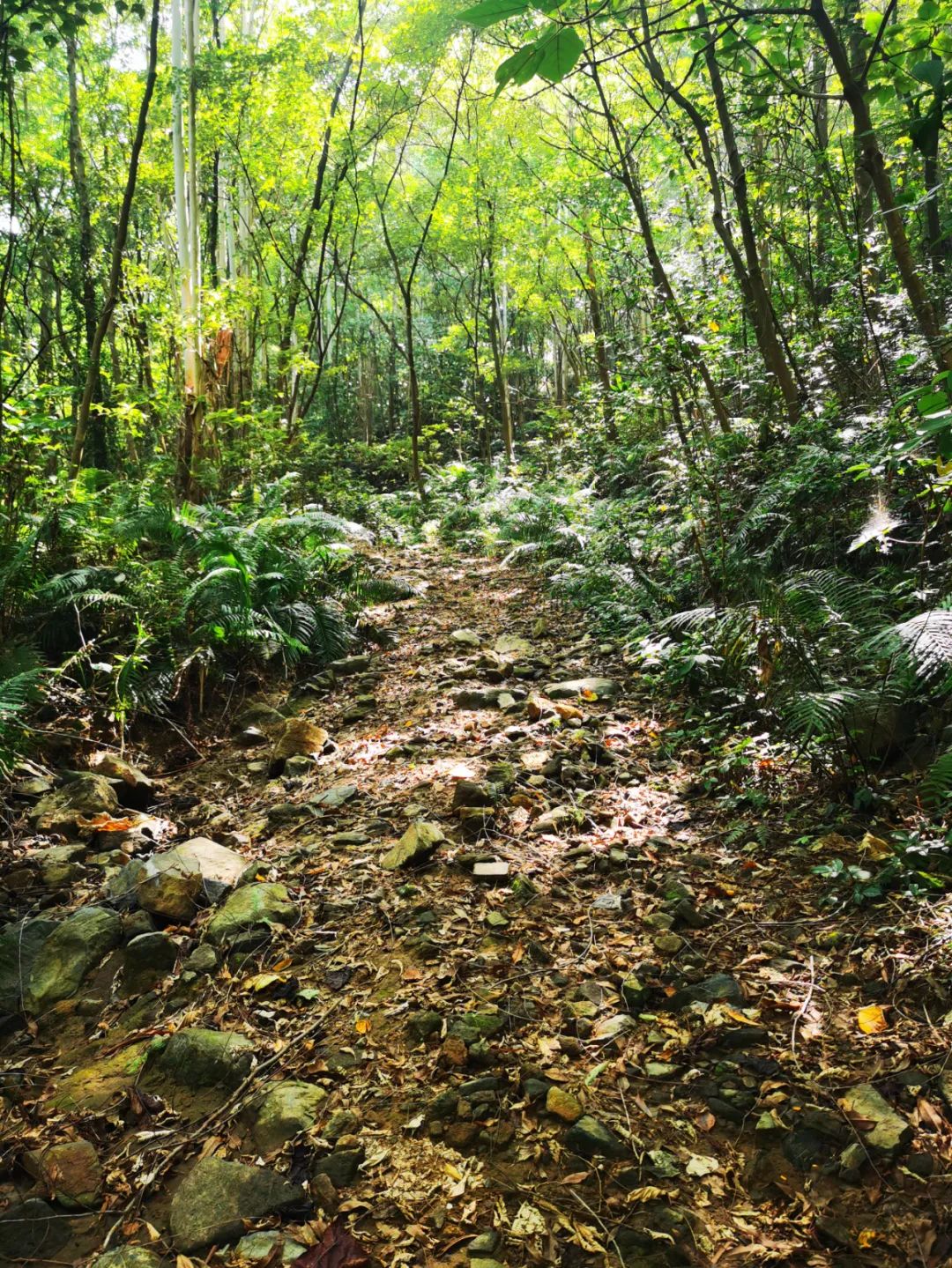
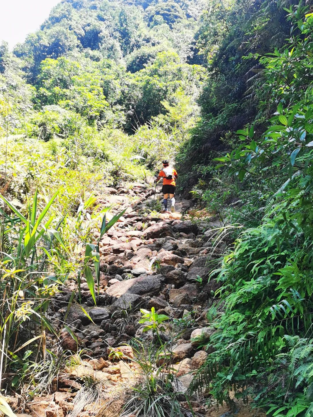
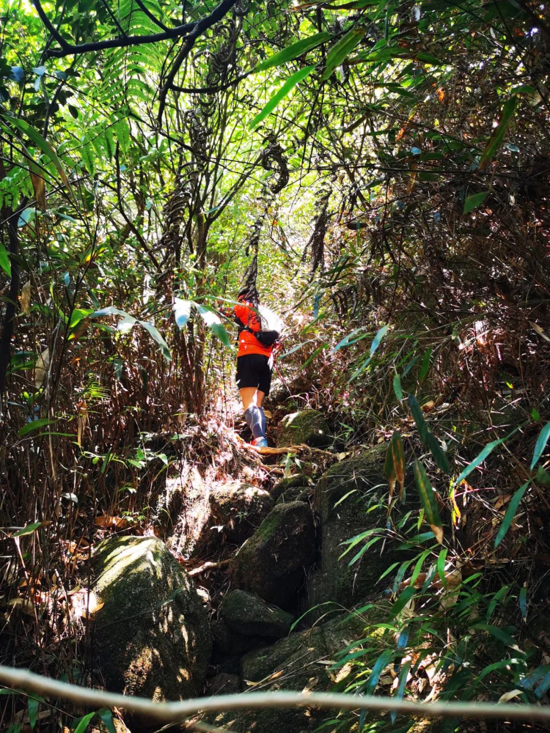

I walked from half past twelve to one o'clock for lunch. It has been half an hour. The top of the mountain has been looking up, but I have been climbing and climbing, and I still haven't seen the top.
The team leader also posted in the group: If you can't reach the summit by two o'clock, just go back the same way. Tremendous stress. However, it is impossible to give up at this time, grit your teeth and keep moving forward.
At half past one in the afternoon, we finally saw the top. First, let’s take an altitude photo to celebrate being admitted to the first peak in Zengcheng.
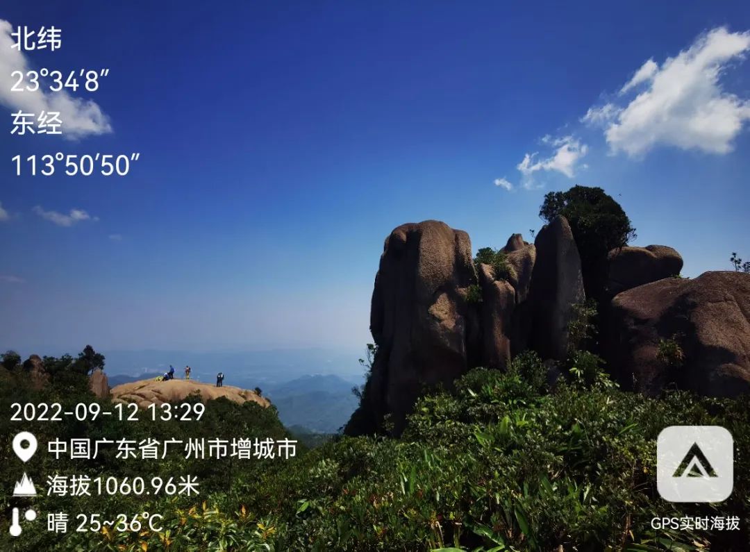
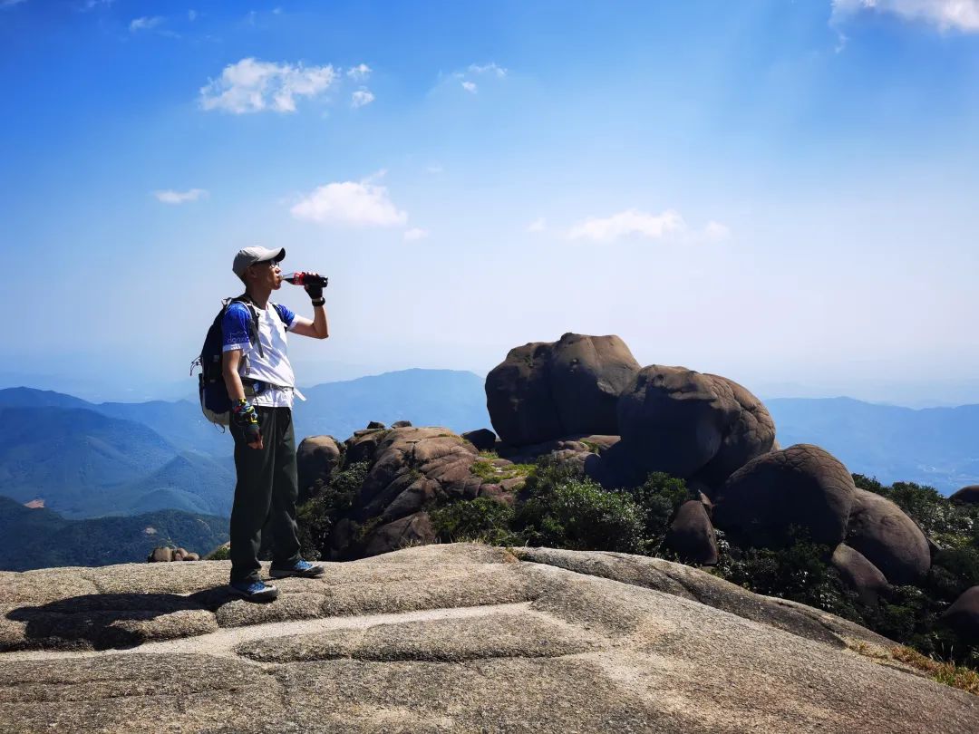
The 1,000-meter peak of Niuguzhang is developed from vertical rock joints. Under the action of high temperature and rain erosion, the peak is abrupt and its sides are like a hundred-foot abyss.

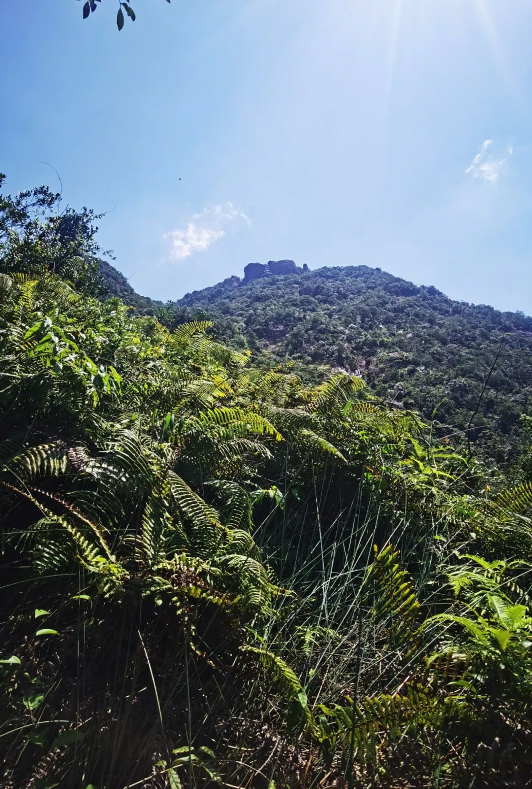
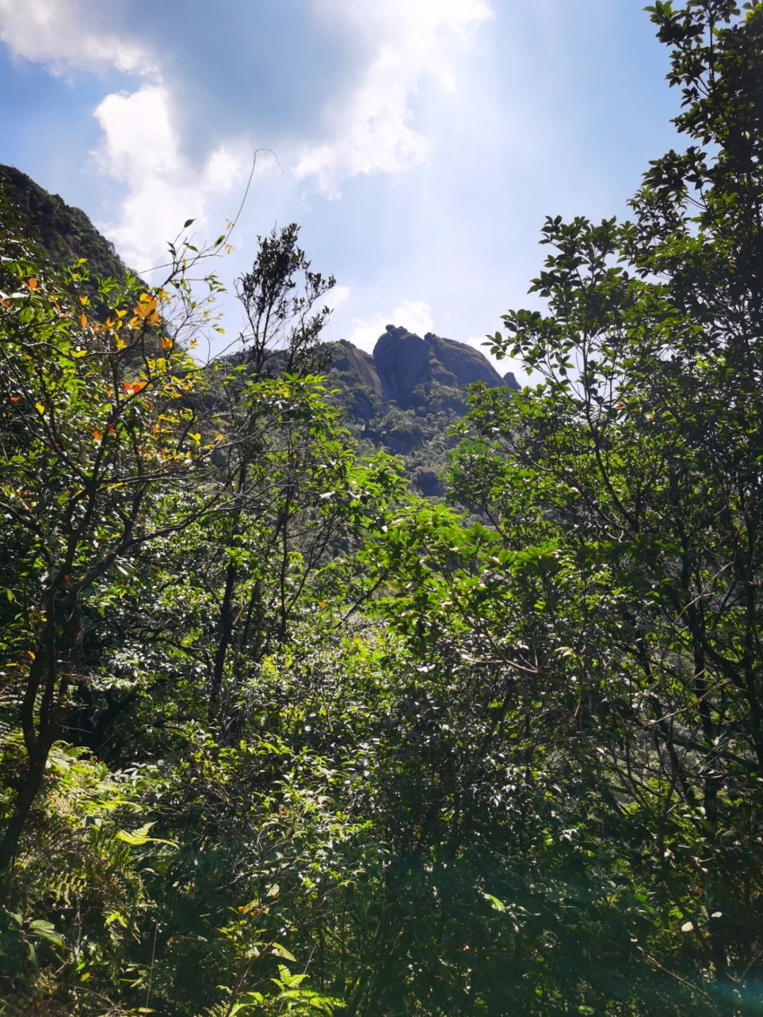
The strange and beautiful mountain is exposed at the top of the mountain without any trees. Only by climbing up this rock can you reach the highest point.

In the sky, it’s time to test your body shape (you should usually pay attention to losing weight, otherwise you won’t be able to wear it if you are fat).
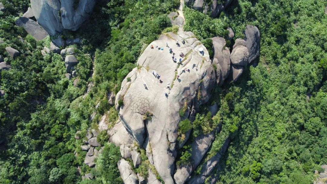
There are many huge stone egg shapes on the top of Niuguzhang Mountain, forming a variety of landforms. Looking at the piled rocks everywhere, they look like people and things, including stone lions, stone dogs, stone walnuts, stone elephants, and stone bears. , stone unicorn, stone ape and monkey...the images are all there, full of fun, as if they are sculptures in the hands of an artist.
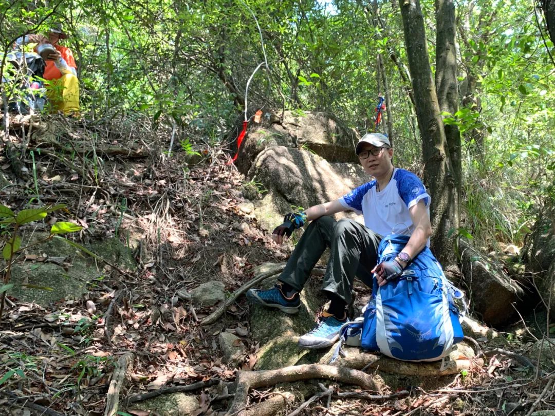
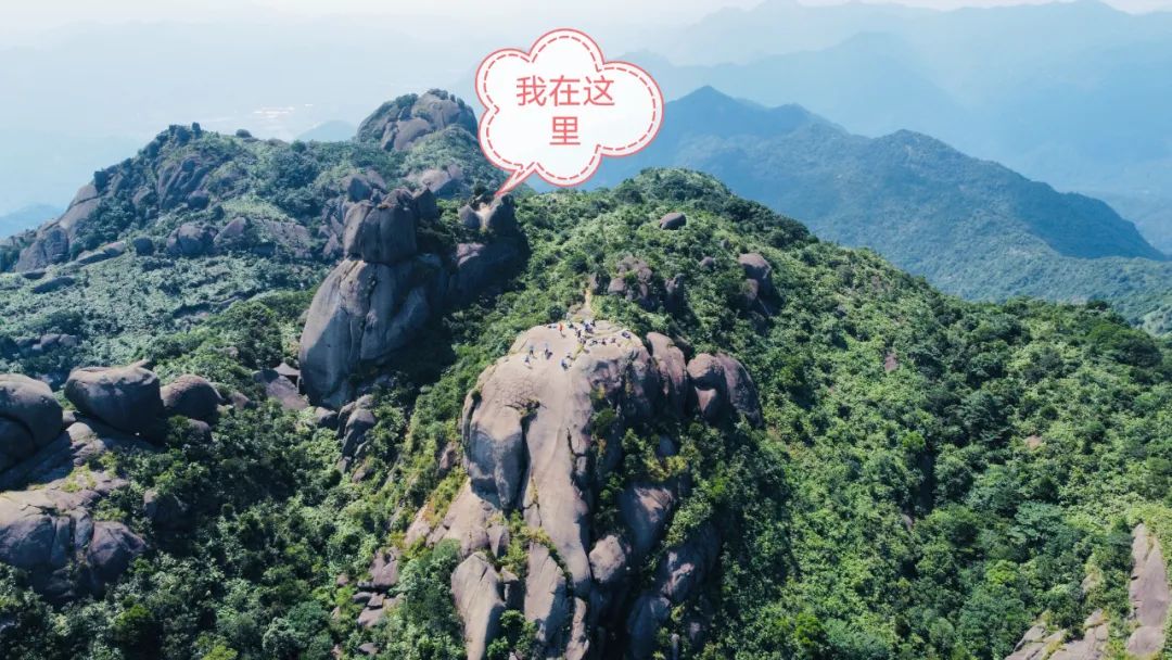
There is also a large flat rock on the top of the mountain, which is where we rest and gather. It is also the best place for everyone to have concave and convex shapes and show off their beauty.

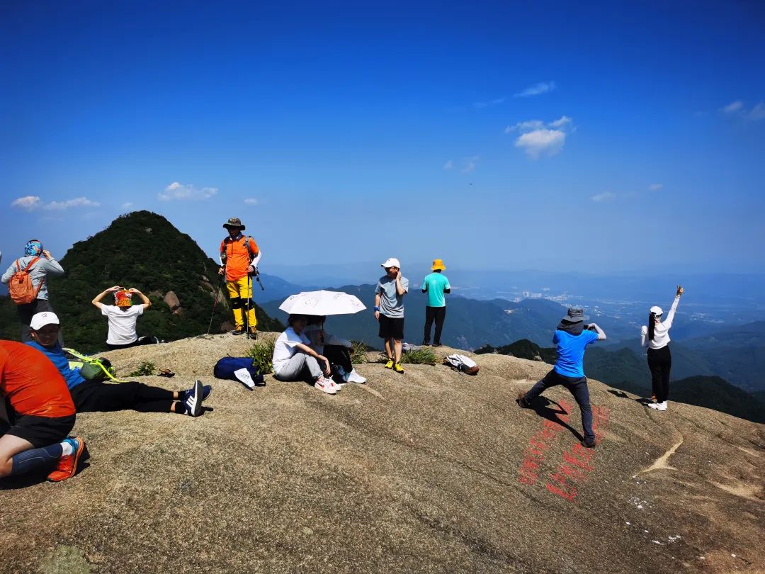
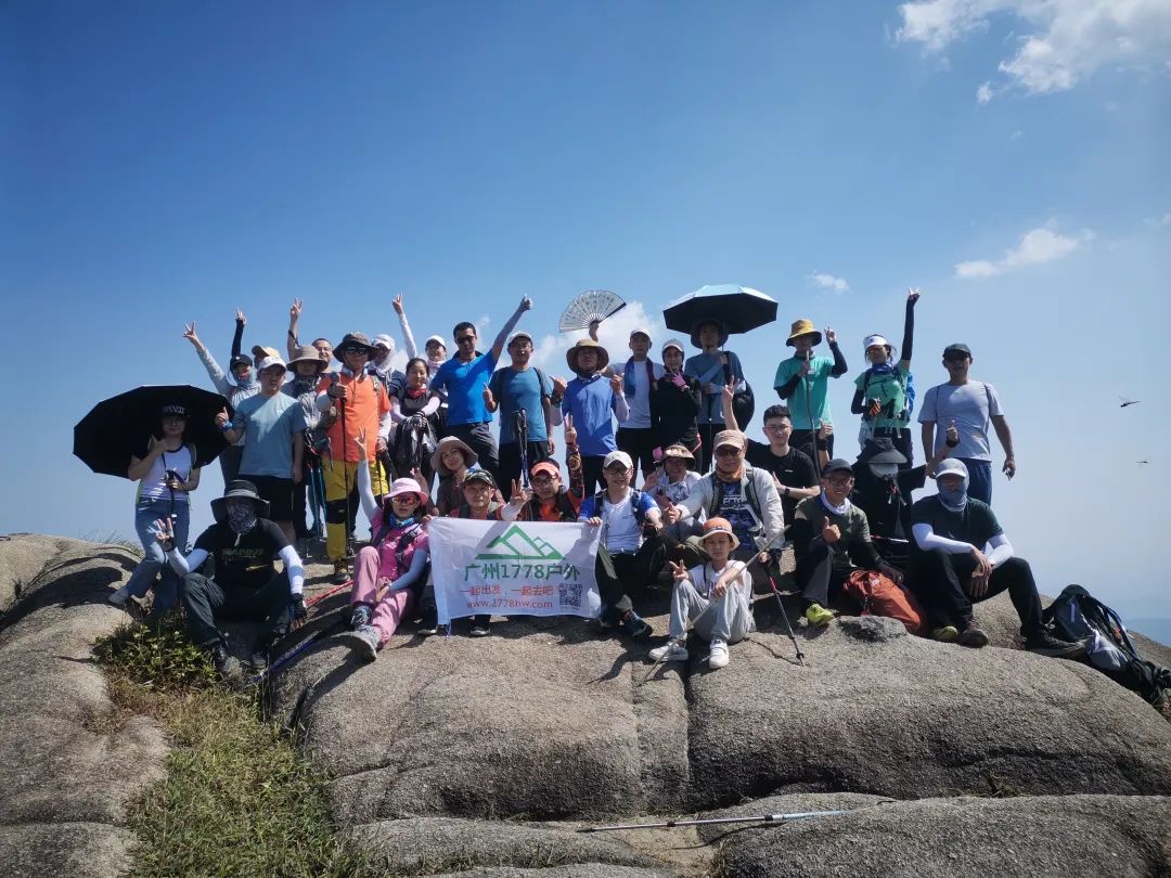 After waiting on the big rock for nearly an hour, around 2:30, the last few people in the group successfully reached the top and quickly came to take a group photo. Start going down the mountain.

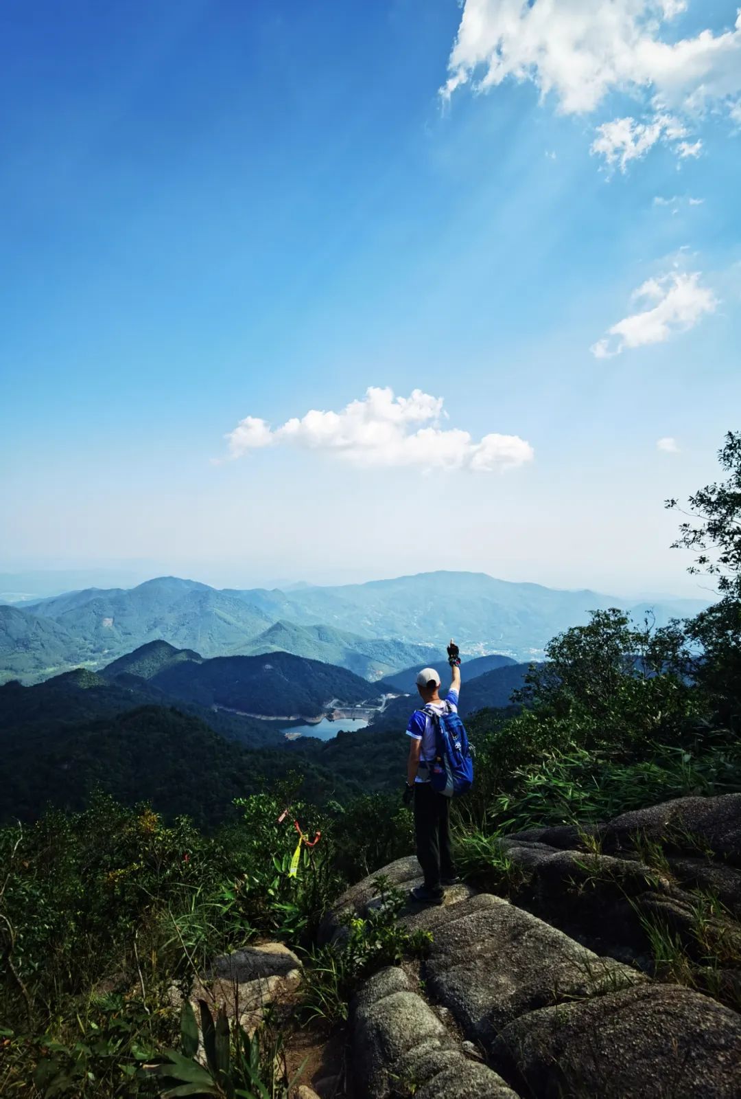
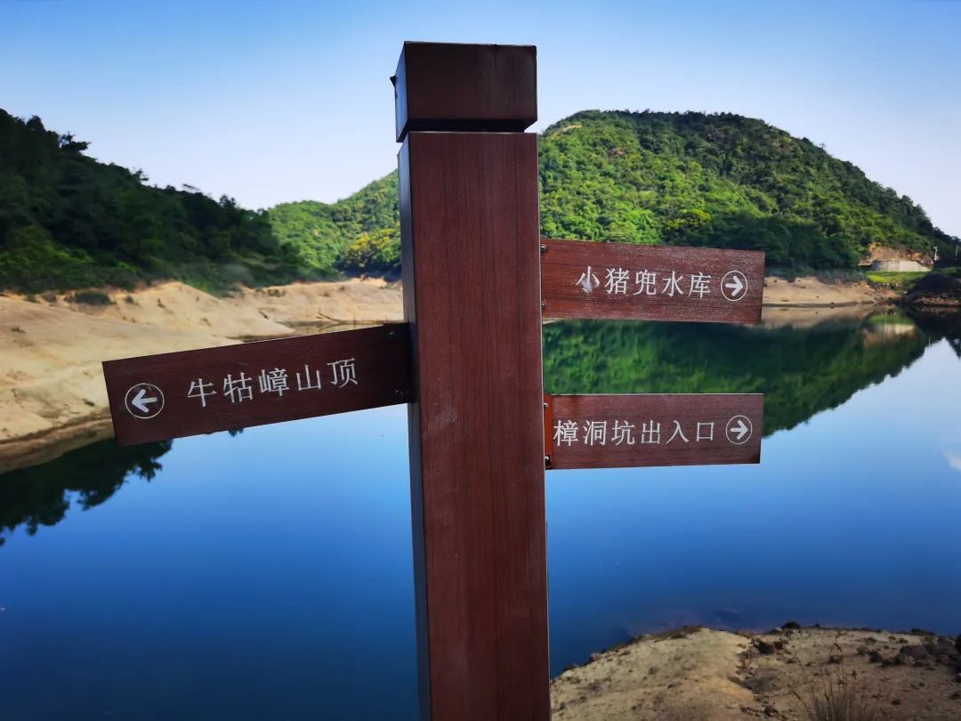
The reservoir in the distance is just the midpoint, not the end point

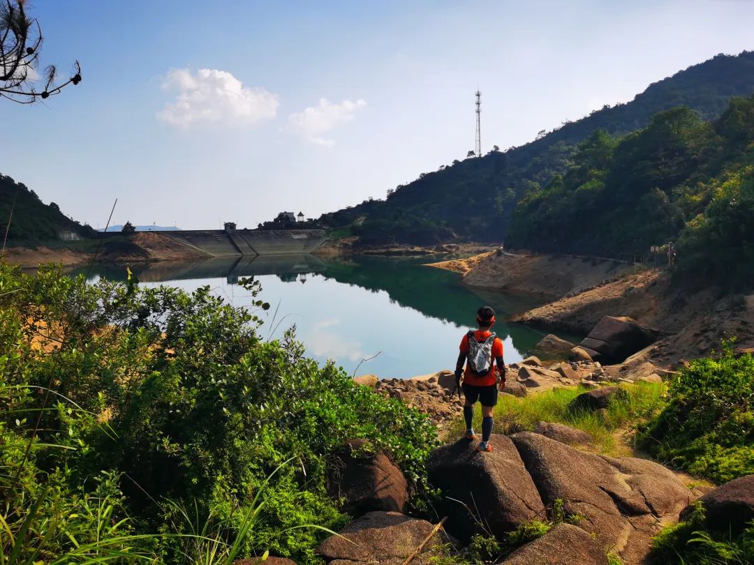


The lake water is really blue under the sun, and the stones are scattered at random, dotted on the shore, or standing out in the water , which makes it a wonderland. In the reservoir, I also saw a family of three. The father and his children were playing in the reservoir.
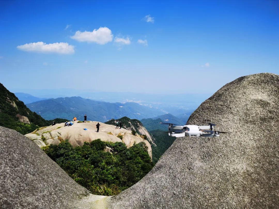
Today I walked faster and came to the embankment on the other side. It was still early, so I took out the drone again and recorded the beautiful scenery of the reservoir.
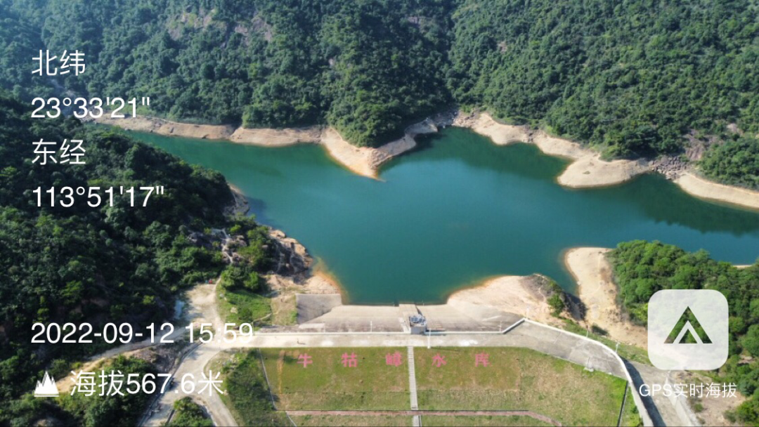
The reservoir is surrounded by mountains. It is as quiet as the sea and as blue as a dream. The gentle breeze ruffles the blue water and dissipates any trace of fatigue. It is refreshing!

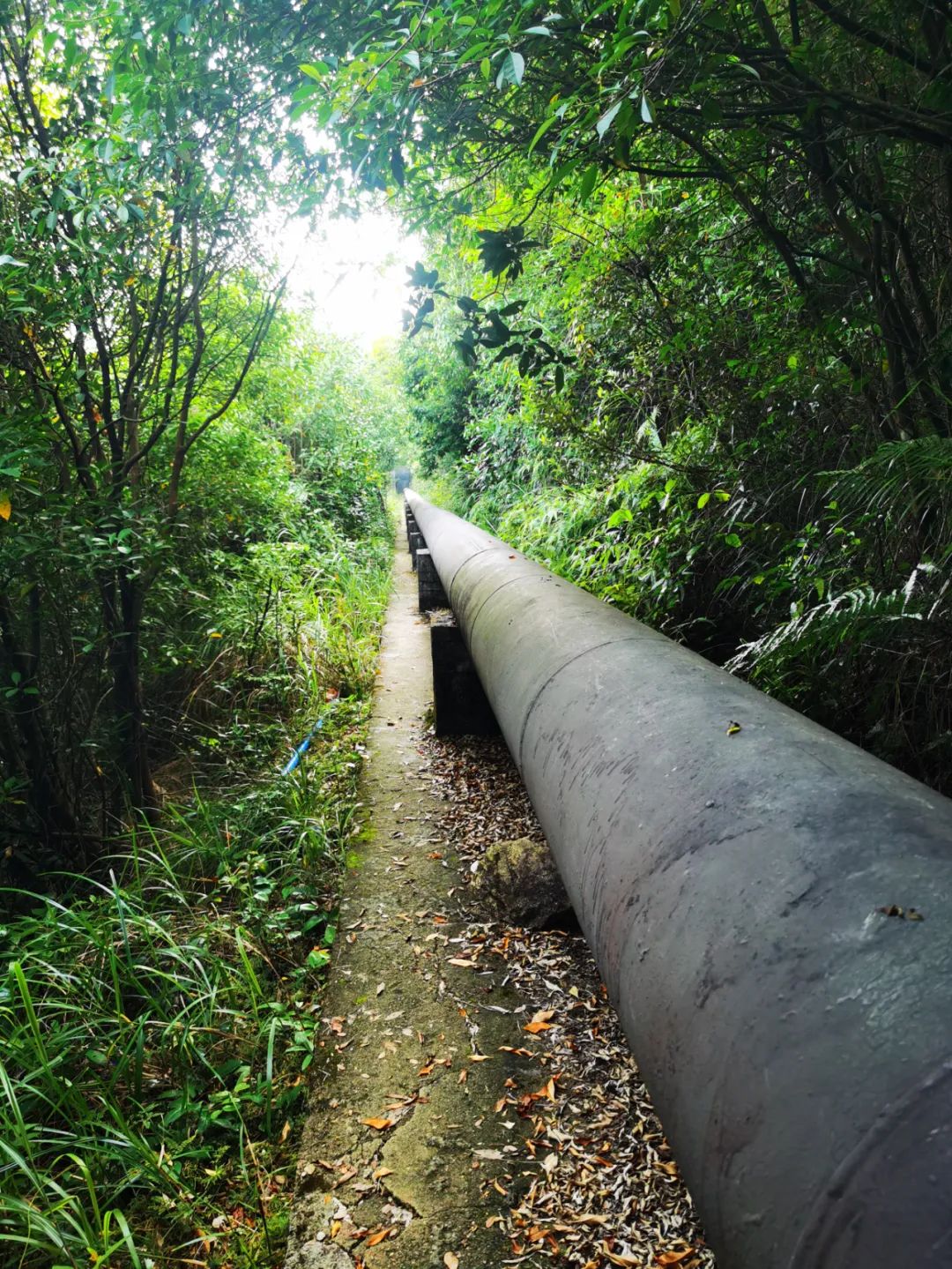
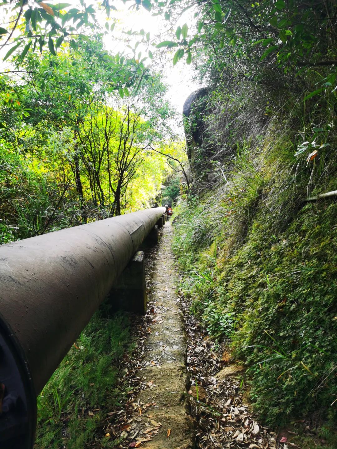
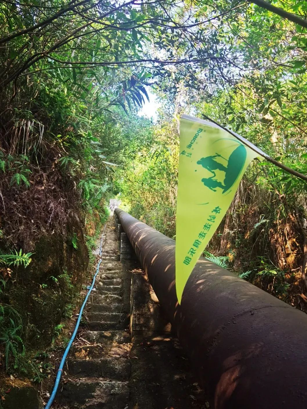
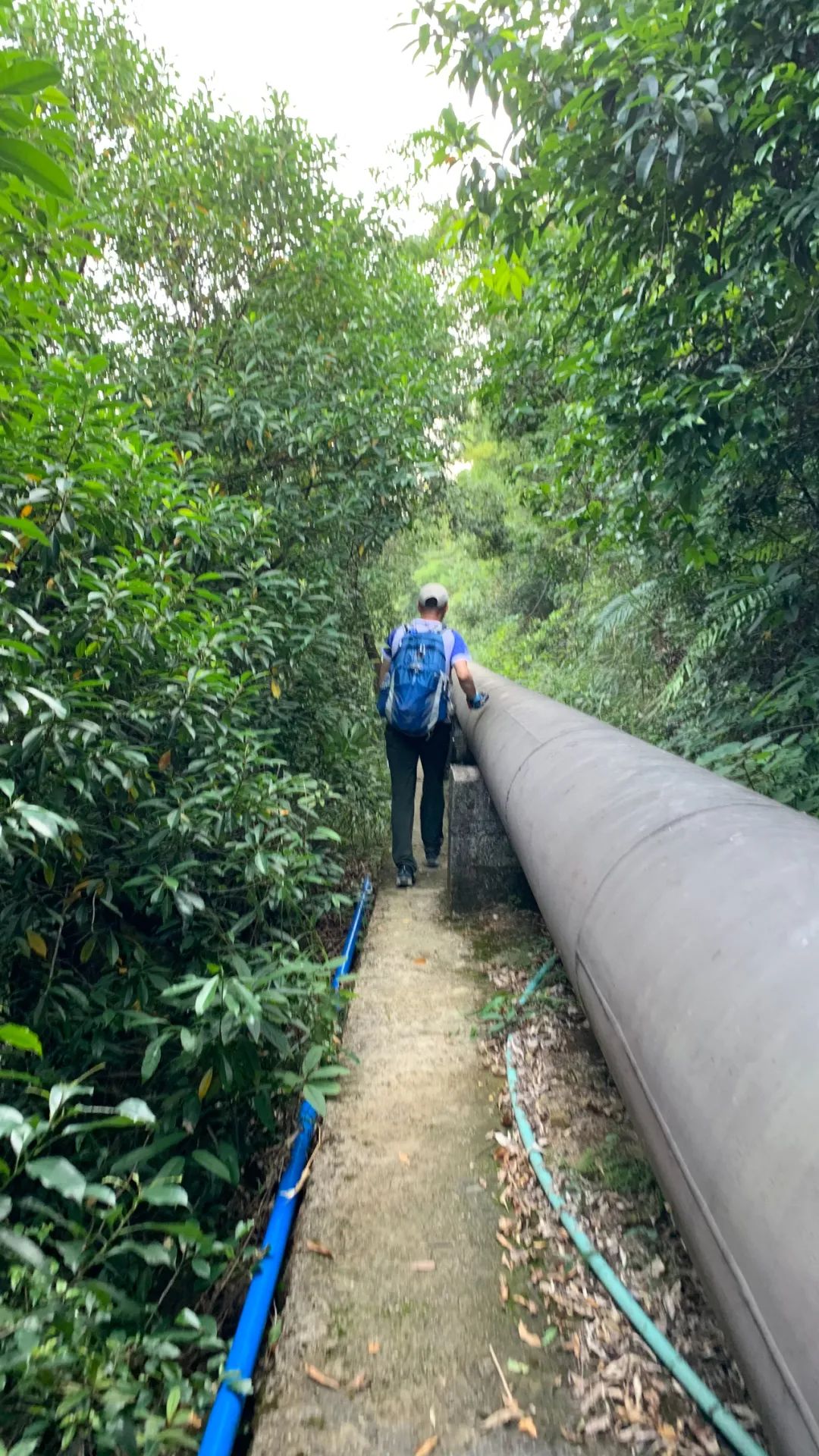
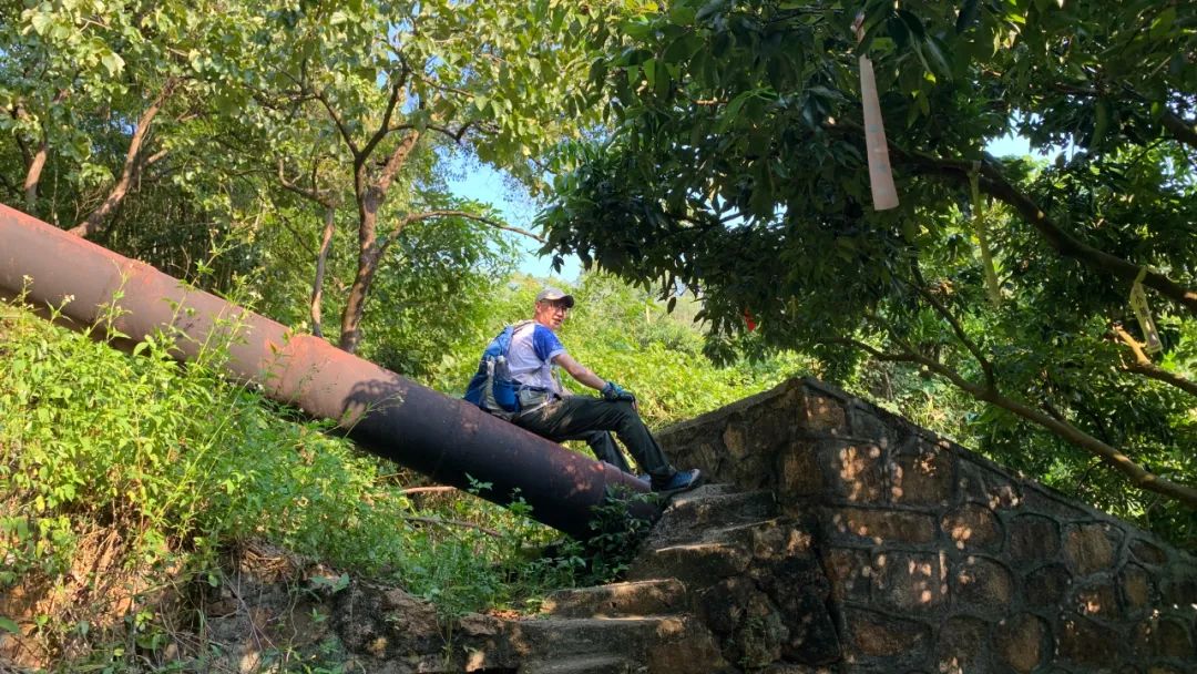
At this moment, I didn’t “submit” anyone, so I could only hold on to the big water pipe next to me and slowly move down.
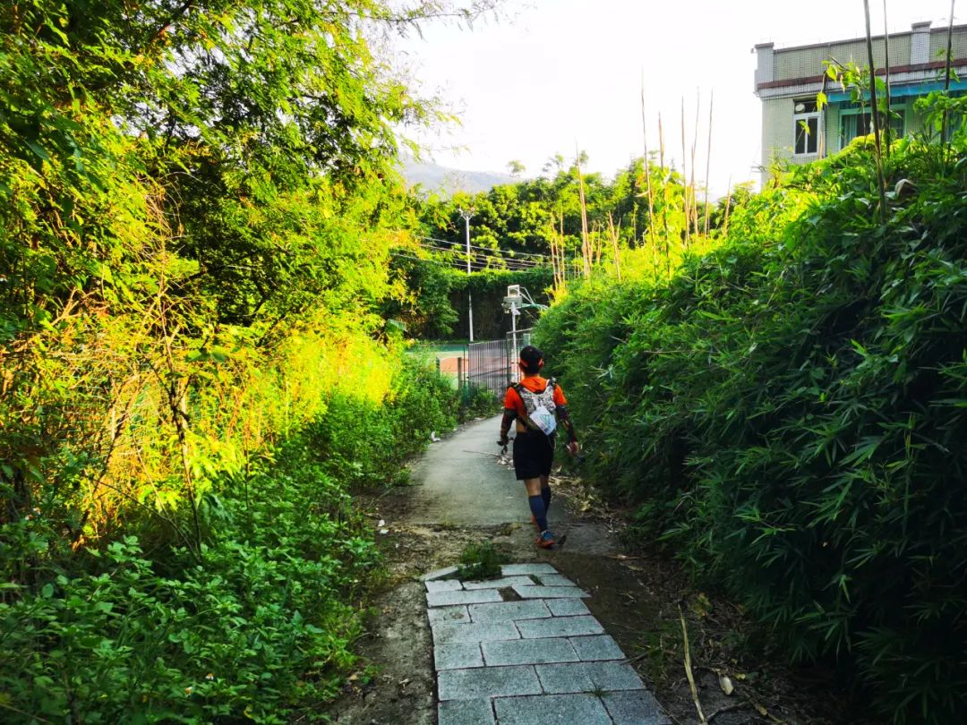
After walking for more than half an hour, I heard Qian Yang reporting in the distance: I saw a flat road. Sure enough, I saw a flat road. As the end of the stone step road, I must sit down and take a rest to take a picture.
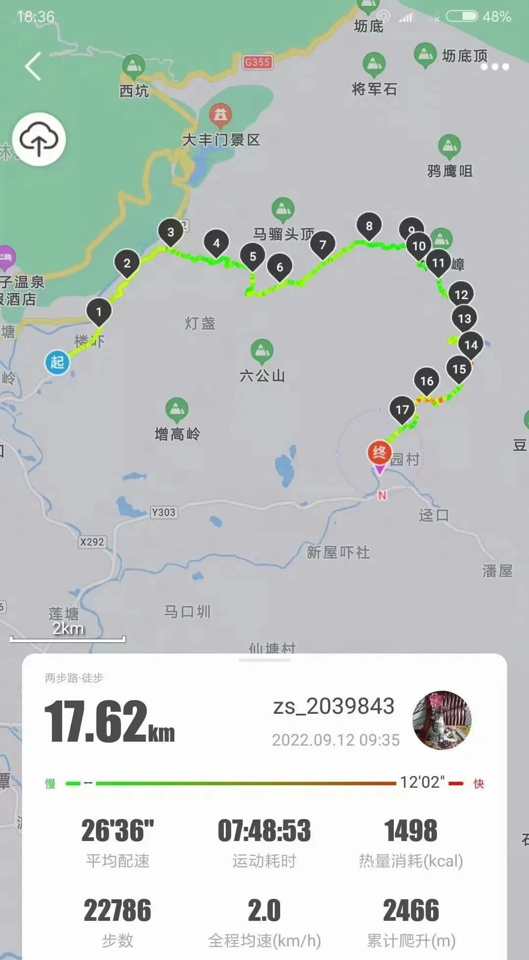
Hiking tracks recorded by friends

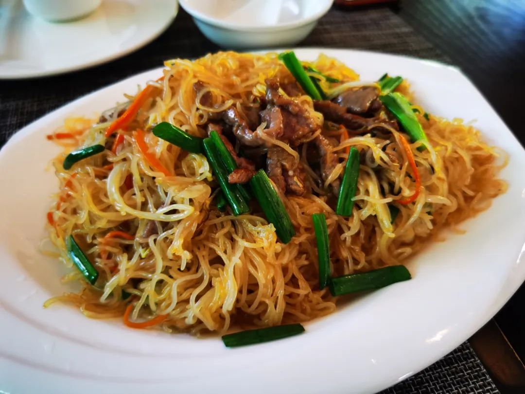
Eat some rice noodles to fill your stomach

After going down the mountain, we both changed into Guangzhou 100 competition uniforms by chance.
Comments
No comments yet