Tibet, here I come (20) - the sacred mountain and holy lake in Ngari
2021.6.24
Before leaving Pa Yang Town today, I went to the town hall to fill up the water bottle. When people talk about Tibet, they always refuel whenever they see a gas station. In fact, as long as you are running on a national highway, you don’t need to. There are enough gas stations along the way. Now we refill the water at any time, because it has been difficult to find water for the past two days.
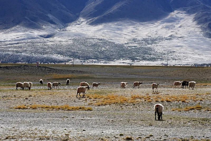
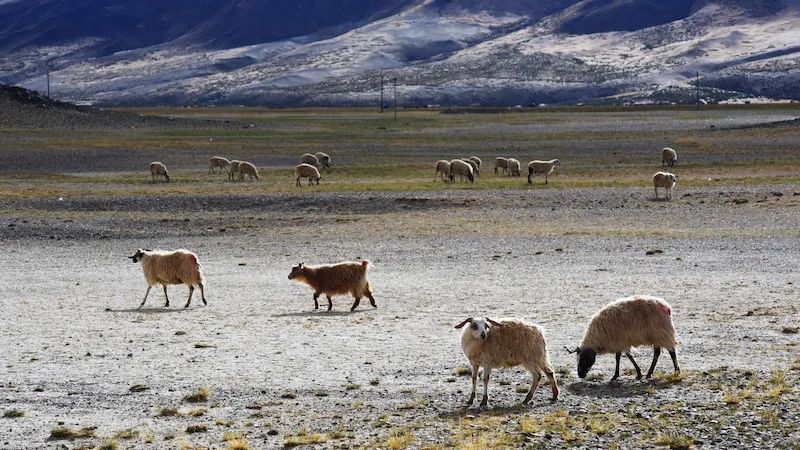
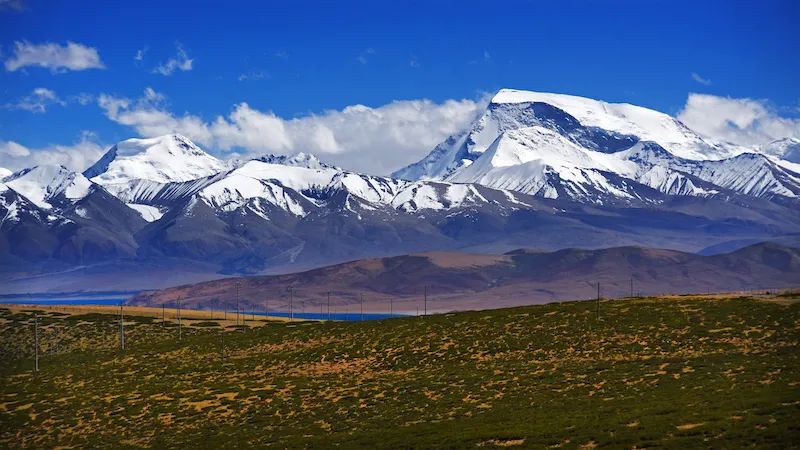
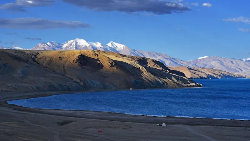
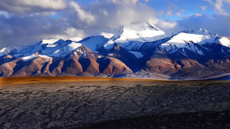
The altitude when we set off today was 4651 meters. Along the road, I encountered some sheep grazing in the pasture at the foot of the snow-capped mountains, forming a picture of sheep herding that was completely different from ordinary grasslands. Only then did I realize that I had rarely seen yaks in the past two days. Could it be that these sheep are more tolerant of high-altitude environments than yaks? The grass on the pasture doesn't look very good, it doesn't feel green and lush at all. The grass is yellow and sparse in many places. These sheep have strong vitality and grow well in such an environment.
Picture of shepherds at the foot of snowy mountains

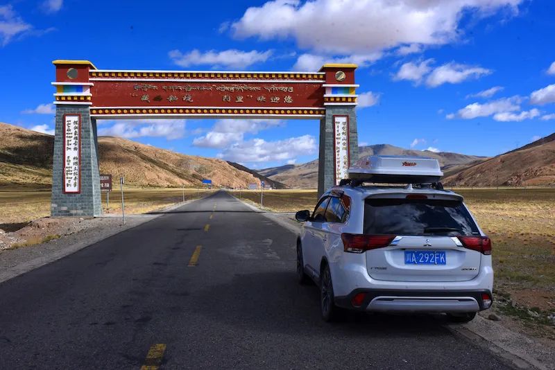
At 10:20, the car arrived at a gate standing on National Highway 219. The lintel said "Ali, the secret land of western Tibet, welcomes you." This is the gateway to the Ali region, Purang County. This point is very meaningful to me. Ali, who I have been longing for for many years, is finally here. The altitude here is 4836 meters. The threshold of this "gate" is really high.
Ali, who I have longed for for many years, is finally here
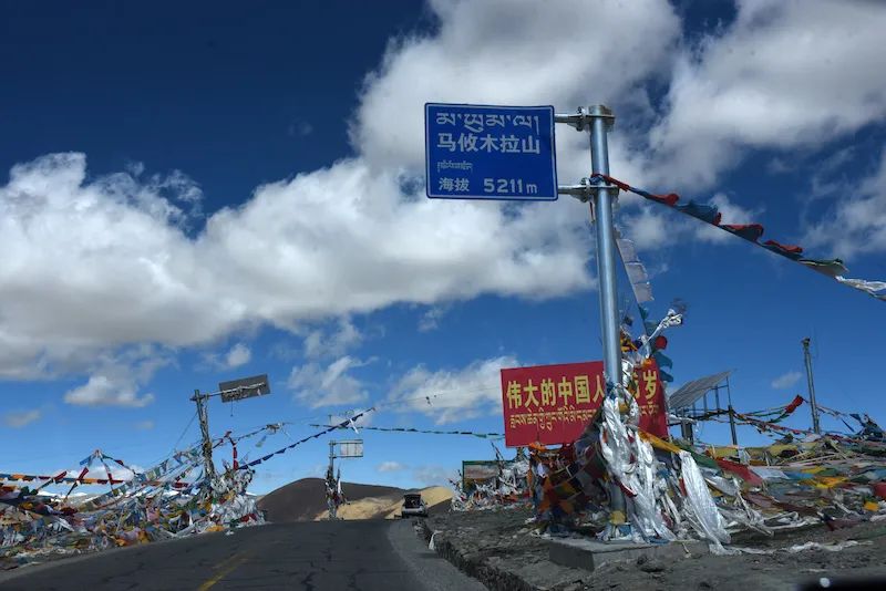
Ali welcomed us with high altitude. The first thing that greeted us after entering Pulan County was Mayumula Mountain with an altitude of 5211 meters. The meeting gift Ali gave us was high gas prices. Our car was refueled at the Mayumula gas station. The price of oil was as high as 9.06 yuan/liter (92# gasoline). At this time, the price of 92# gasoline in Chengdu was 6.86 yuan/liter.
Mayubunla Border Inspection Station checked the ID card, itinerary code, and border permit. Different from the previous checkpoints passed by, the driver here also has to get out of the car to check and register.
These made me feel like I was in a far away place.
Entering Ali, the first thing to pay tribute to us is Mayumula Mountain with an altitude of 5211 meters.
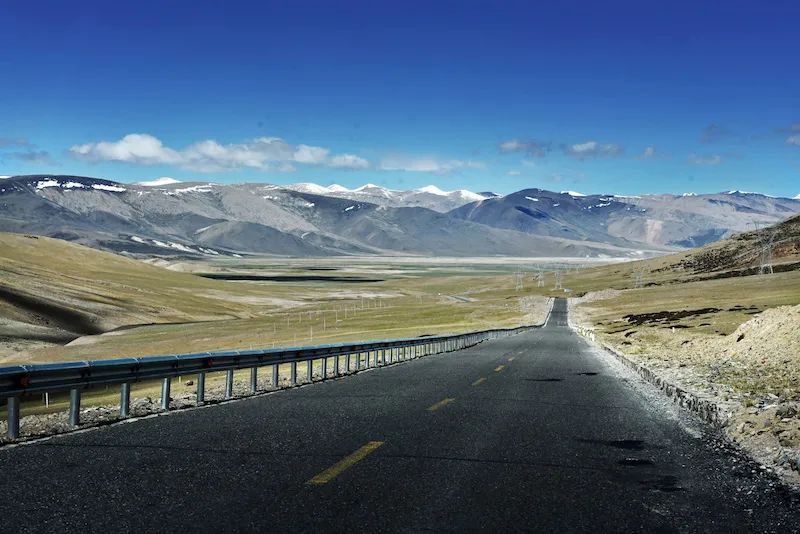
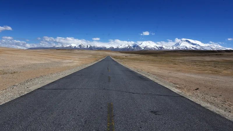
It's hard to see other cars on the road. The lonely road has no end in sight, carrying my thoughts along the way. Here are my poems and the distance. Although there is no idyllic poem, there is the heroic spirit of the desolate wilderness, and the state of mind closest to the blue sky.
The lonely road stretches into the distance
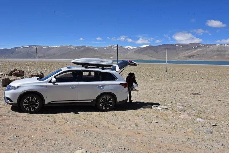
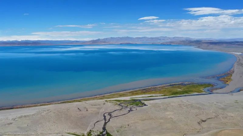
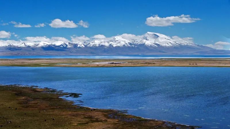
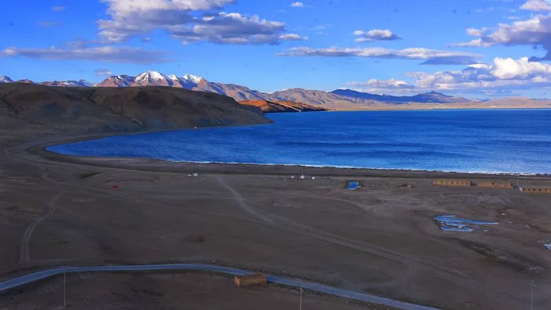
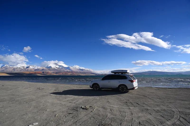
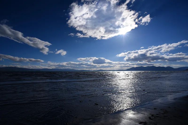
Along the lonely road, we came to Gongzhucuo, which is 4854 meters above sea level. This is a small lake , and the lakeside looks a bit monotonous, but it does not prevent us from having lunch by the lakeside. Since entering Tibet, I have lost count of how many times we have eaten by the "Cuo" and how many times we have had exclusive access to the open-air restaurants with lake views.
Lunch at Gongzhucuo
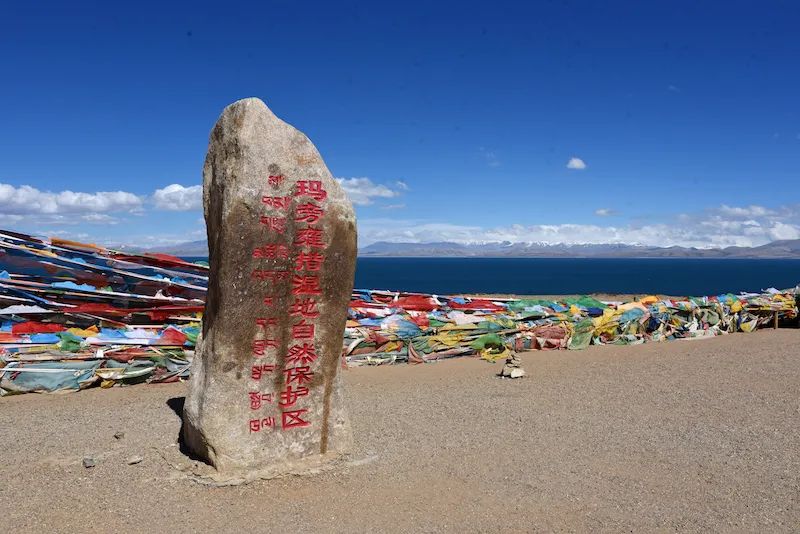
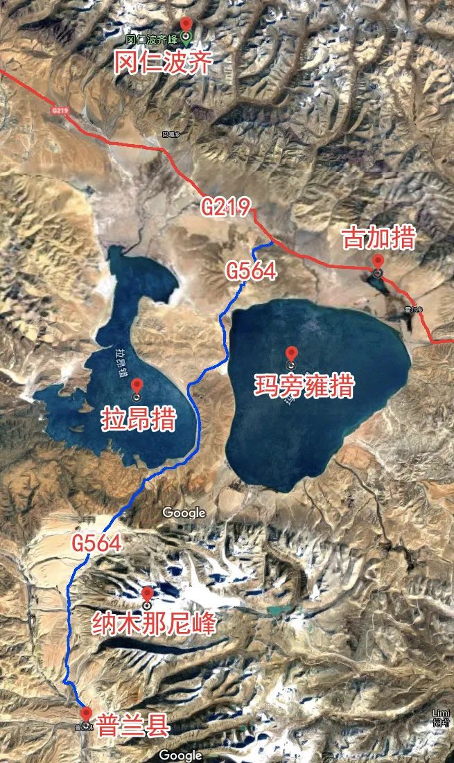
In the Pulan County of Ngari, there are concentrated the famous sacred mountain Kailash, the holy lake Manasarovar, the ghost lake Laangtso, and Nagoya, which is called the "Mountain of the Holy Mother" by Tibetans Munani Peak.
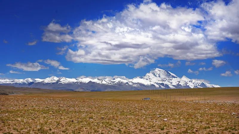
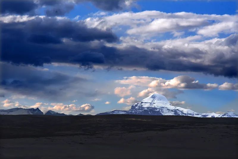
Not long after entering Pulan County, Namunani Peak in the south accompanied us all the way. Namunani Peak, with an altitude of 7694 meters , is located in the western section of the Himalayas. Namunani Peak has an area of about 200 square kilometers, and there are dozens of mountains above 6,000 meters on the ridge line, with varying heights. The ridge to the east is very steep, forming a cliff with a height difference of nearly 2,000 meters. The precipitous peaks, year-round snow, and the continuous snow peaks make Namunani Peak very beautiful in the wilderness .
See Namunani Peak on National Highway 219

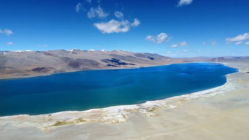
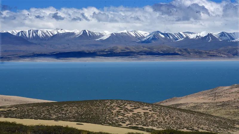
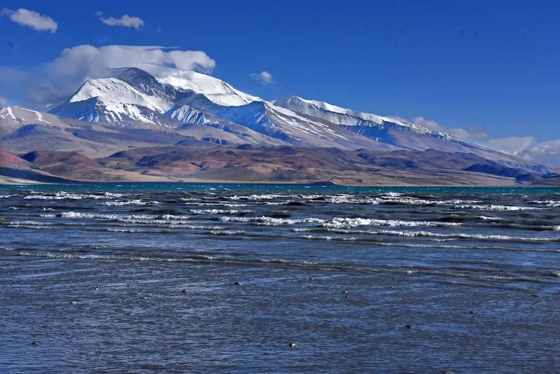
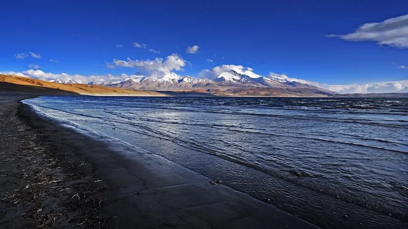
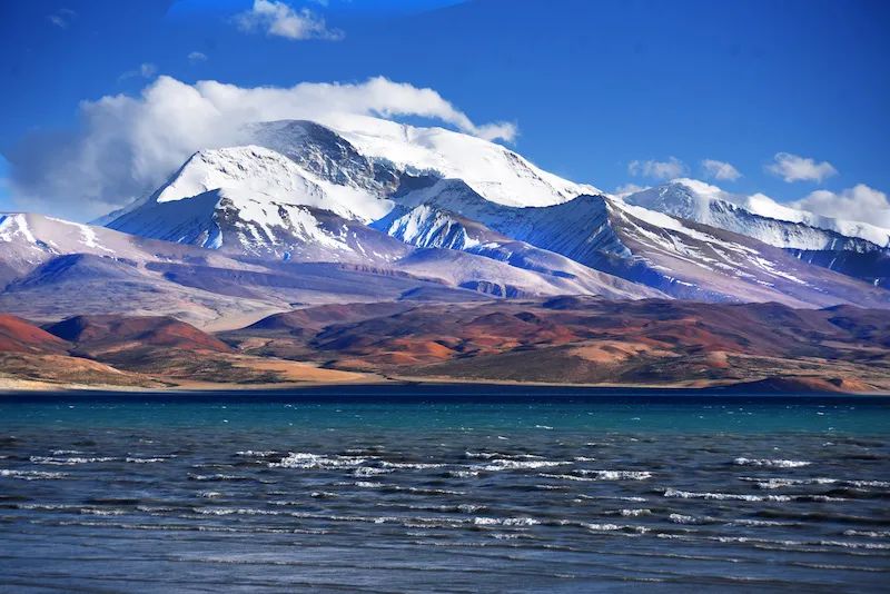
As we approached Hall Township, A brown tourist sign appeared on National Highway 219 with the words "Holy Lake" written on it. In this area, the "holy lake" must be Mapam Yumtso, which is one of the three holy lakes in Tibet. The famous lakes in Tibet are all very large, and the corresponding "scenic area" cannot enclose the entire lake area. The "holy lake" scenic area here is only a corner of Mapang Yumtso.
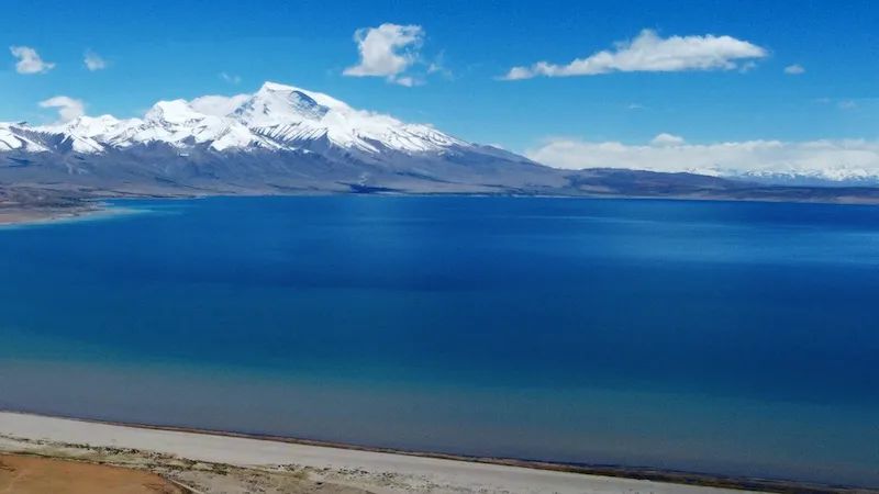
When I first met the holy lake Manasarovar, the color of the water alone was intoxicating. It is an extremely soft blue, giving people a gentle reverie. When the viewpoint is raised, the white figure of Namunani Peak appears among the blue sky and blue water. The most harmonious color matching in nature forms a beautiful picture.
First introduction to the Holy Lake Manasarovar
This holy lake scenic spot is right on the edge of National Highway 219. Although it has convenient transportation, it is sparsely populated. A young man from Sichuan told us that walking towards Pulan County, the viewing platform there is much better than here, and it’s free. That direction was originally part of our plan. So I put away the drone and continued moving forward.
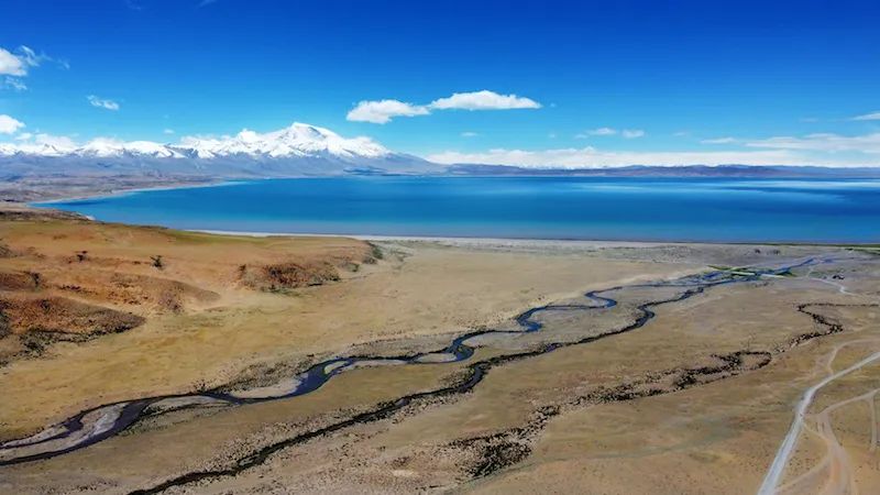
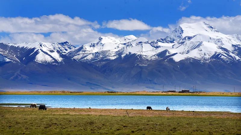
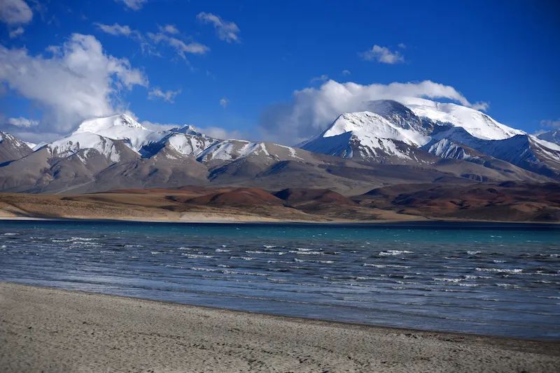
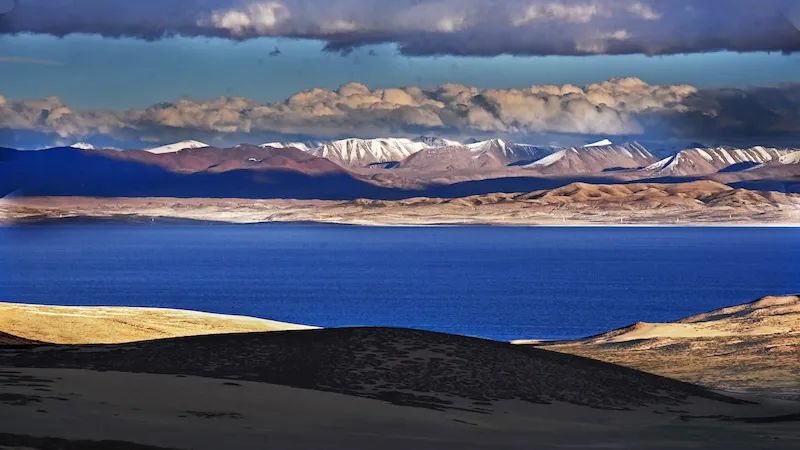
After passing Hor Township, there is Gujiacuo to the north of the holy Lake Manasarovar. This lake is not big, but it is very beautiful. Its location is particularly good. Viewed from National Highway 219, the tall Namunani Peak is right above it. Capped snow-capped mountains, azure lakes, yellowish grasslands, and yaks by the lake. The beautiful Gujiacuo and Namunani peaks in the same frame form a magnificent picture that makes people obsessed.
The beautiful Gujiacuo
Gujiacuo and Namunani Peak are in the same frame, which creates a magnificent picture
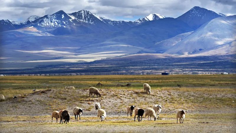
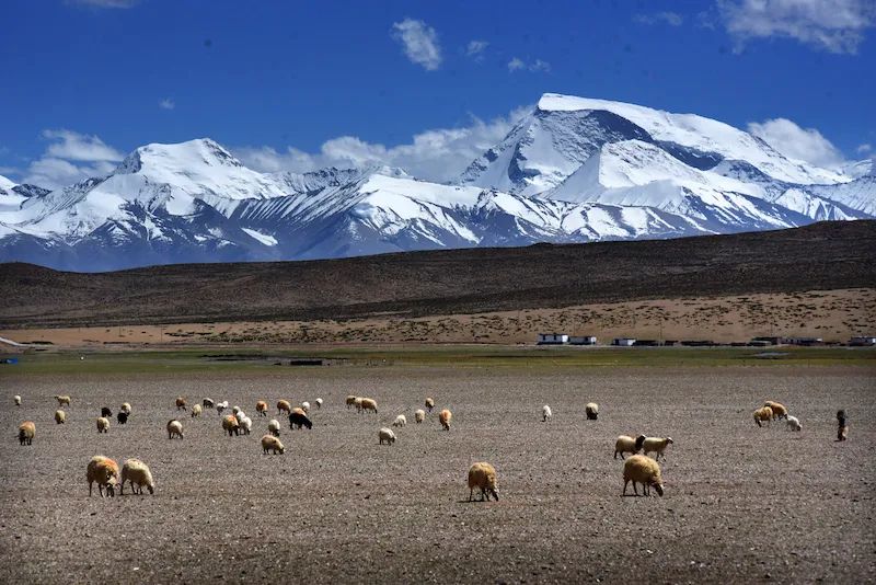
After passing Gujiacuo, Namunani Peak still followed us. In front of us was a sandy and gravel land with almost no grass. There was actually a group of sheep, all of which were looking for food on the ground. This is the pasture that impressed me the most because of the gravel land and the Namunani Peak.
Namunani peak and sheep
At an intersection after passing Gujiatso, we left National Highway 219 and turned south onto National Highway 564, heading towards Pulan County.
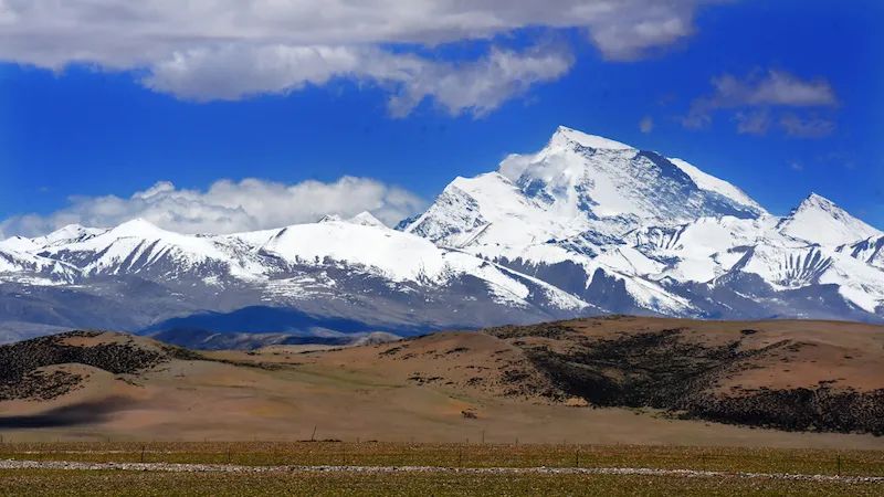
The further south you go, the clearer Namunani Peak becomes. Although it does not have the name of a sacred mountain, its majesty is no less than any sacred mountain in Tibet.
National Highway 564, with the continuous Namunani Snow Mountains ahead
See Namunani Peak on National Highway 564

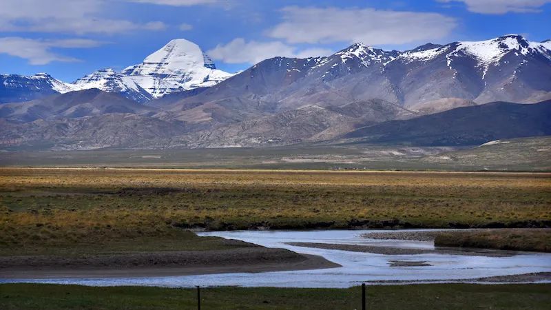
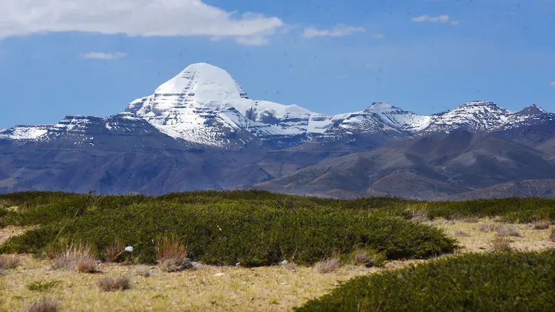
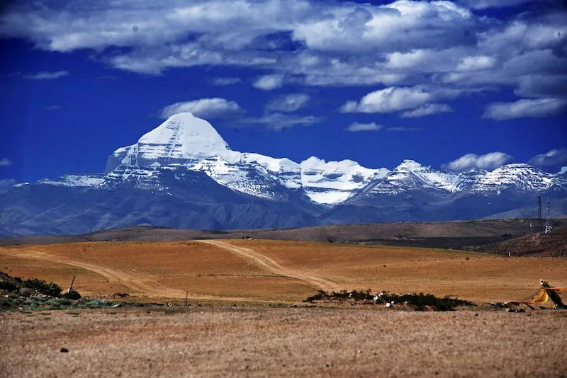
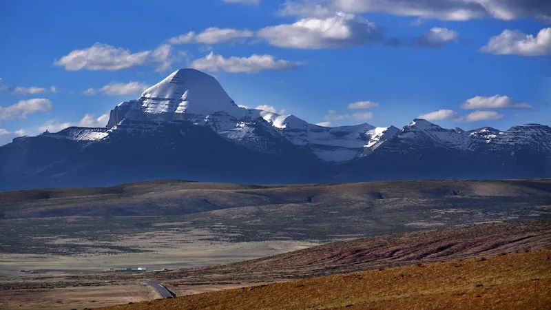
Far across from Namunani Peak is the most famous sacred mountain in the Ngari region, Mount Kailash. The Gangdise Mountains traverse between the Kunlun Mountains in the north and the Himalayas in the south, like a giant dragon lying on the vast plateau of Ali On the top, its high head, shaped like a pyramid , 6656 meters above sea level, this is Gang Rinpoche .
Mount Kailash is a sacred mountain in many religions. The northern foot of Mount Kailash is the upper reaches of the Indus River. Shiquan River The birthplace of the Bon Originated from this mountain. Hinduism The mountain is considered Shiva The residence of the world. Jainism It is believed that the mountain is where their founder, Reishabanasa, attained enlightenment. Tibetan Buddhism believes that the mountain is Chakrasamvara residence, representing Immeasurable Therefore, there are believers here all year round. Circumambulate .
See Mount Kailash on National Highway 219
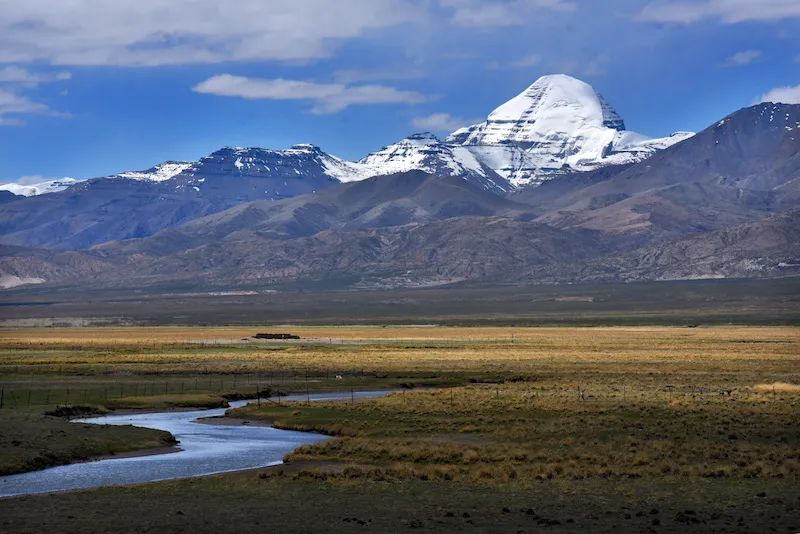
564National HighwayGo upSee Kailash
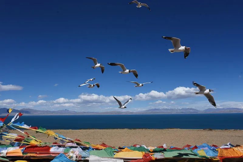
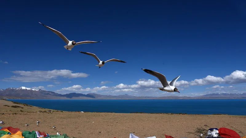
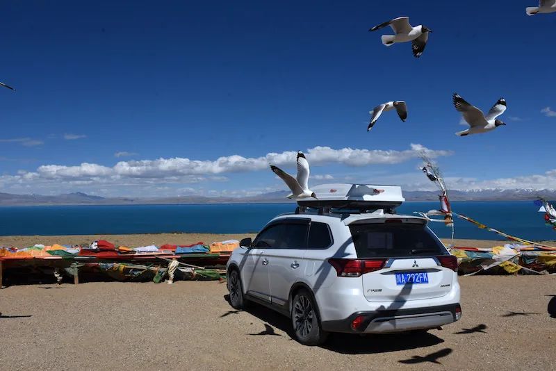
The Holy Lake Manasarovar can be seen in many places on National Highway 564, and there are also special viewing platforms. In addition to the bright prayer flags at the observation deck, there are also a large number of seagulls, which add a sense of movement to the silent lake.
View the Holy Lake Manasarovar on National Highway 564
Manasarovar Observation Deck on National Highway 564 (4650 meters above sea level)

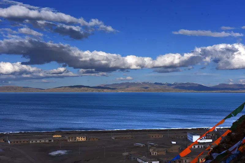
Qiwu Temple by the lake is a commanding height. This is a high-altitude area, so I was a bit out of breath when I walked to the top in a hurry. But when you climb up, you can overlook Manasarovar and Mount Kailash in the distance.
Overlooking Manasarovar Lake at Qiwu Temple
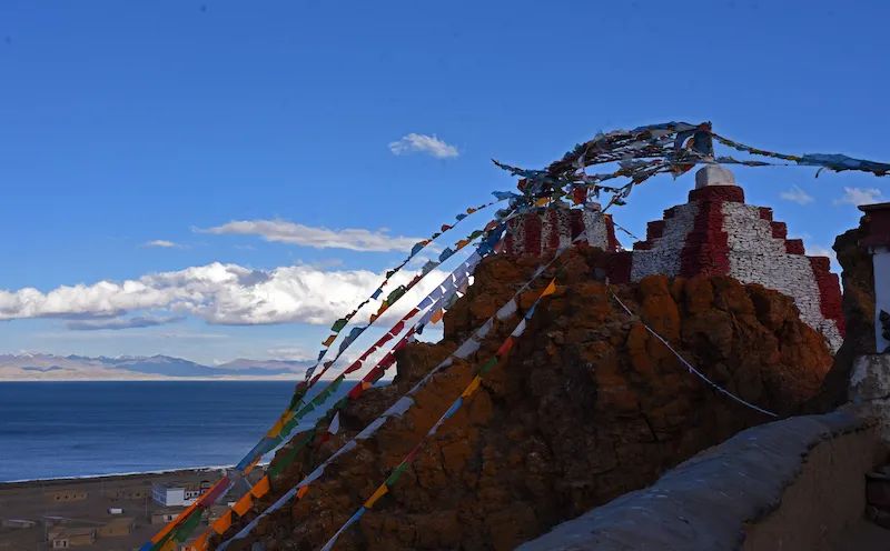
Overlooking Kailash from Qiwu Temple
Laangcuo and Manasarovar are closely adjacent to each other, like twin sisters. National Highway 564 passes between the two lakes. The strange thing is that Manasarovar Lake is a freshwater lake, while Laangtso Lake, which is next to it, is a saltwater lake. Its water is not drinkable by humans and animals. There are no plants, no cattle or sheep around Laangtso. It is lifeless and lifeless, so it is called "Ghost Lake". Laangtso means "poisonous black lake" in Tibetan. As we drove off the road to the lake, we saw that the color of the water was indeed dark. Layers of black waves surged under my feet. But in fact, the transparency of the ghost lake is as high as 14 meters. Why it appears black is really a mystery.
Ghost Lake Laangcuo (elevation 4576 meters)
The transparency of Ghost Lake is extremely high, but the water appears dark.
National Highway 564 leading to Pulan County is a veritable landscape avenue. To the south is the "Mountain of Our Lady" Namunani Peak, to the north is the sacred mountain Kailash, to the east is the holy lake Manasarovar, and to the west is the ghost lake Laangtso. You can see Ali's four landscapes at the same time on National Highway 564. Today is our first day officially entering Alibaba, and Alibaba has given us such a visual feast. Beautiful, beautiful, beautiful! This is the real gift that Ali gave us.
G564 is a veritable landscape avenue
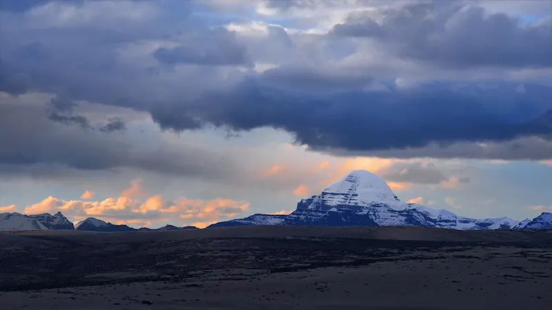
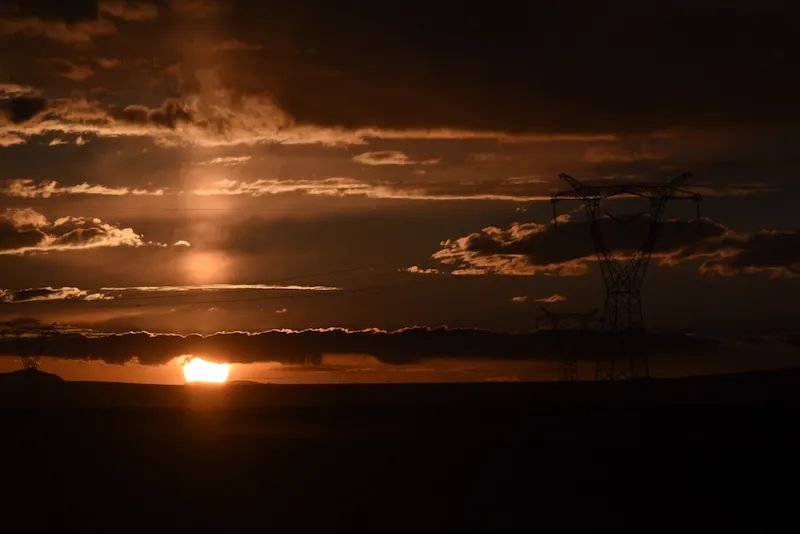
In the evening, we reluctantly left Ghost Lake Laangcuo and returned along National Highway 564. The setting sun is like a magic mirror, illuminating the lakes and mountains with strange and unimaginable colors. Finally, let’s take a look at the four major landscapes in the sunset.
"Mountain of Our Lady" Namunani Peak
Mount Kailash
Holy Lake Manasarovar
Ghost Lake Laangcuo
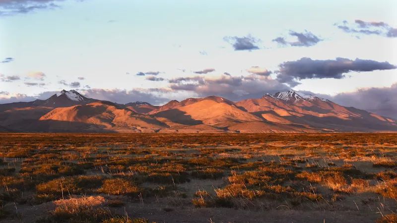
The last sunset dyed the wilderness red. After sunset, we returned to National Highway 219.
The setting sun dyes the field red
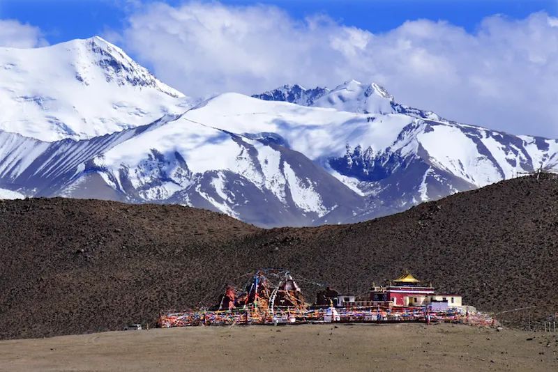
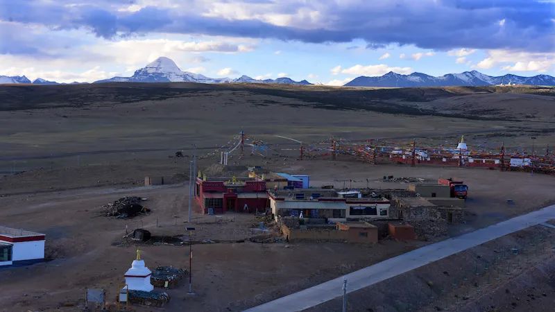
Tonight, we will stay at the "Sacred Mountain Visitor Center" in Taqin, Baga Township, next to National Highway 219. The visitor center is still new, but it is abandoned. It is said that the visitor center has been moved to Neihuang Township. It was very quiet here, and there was only one RV staying overnight with us. Tachen is located at the foot of the southern mountain of Kailash and is the starting point and end point of the Mount Kailash activity.
Comments
No comments yet