Travel notes through Xianju Xiangshi Mountain

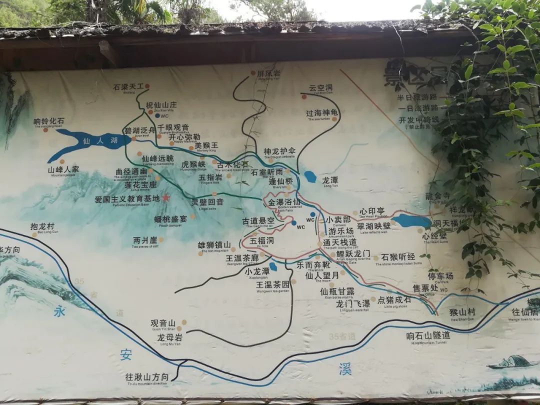
Xiangshi Mountain is located in Hengxi Town, Xianju County, Taizhou. It is a Danxia landform. The scenic area has towering cliffs, suspended stone beams, crisscross ravines, gurgling streams, lush vegetation, birds singing and the fragrance of flowers. The scenic area is characterized by its tranquility.
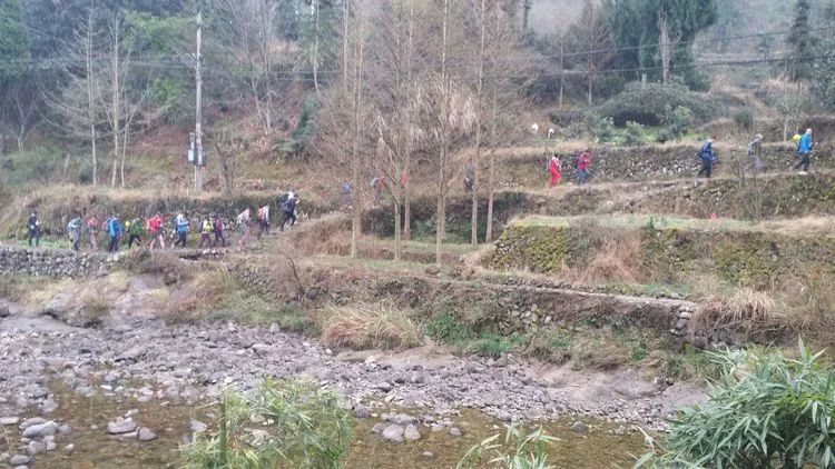
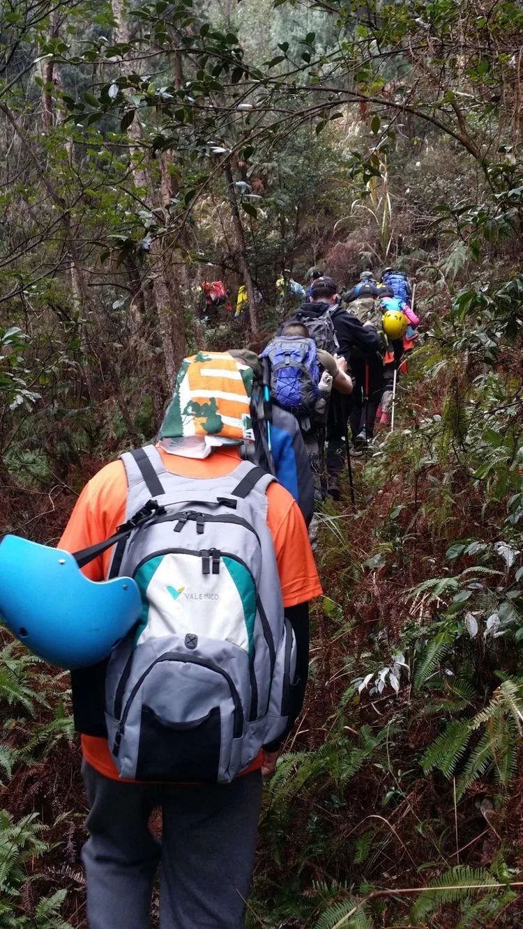
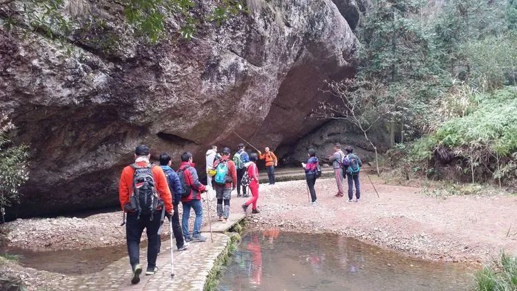
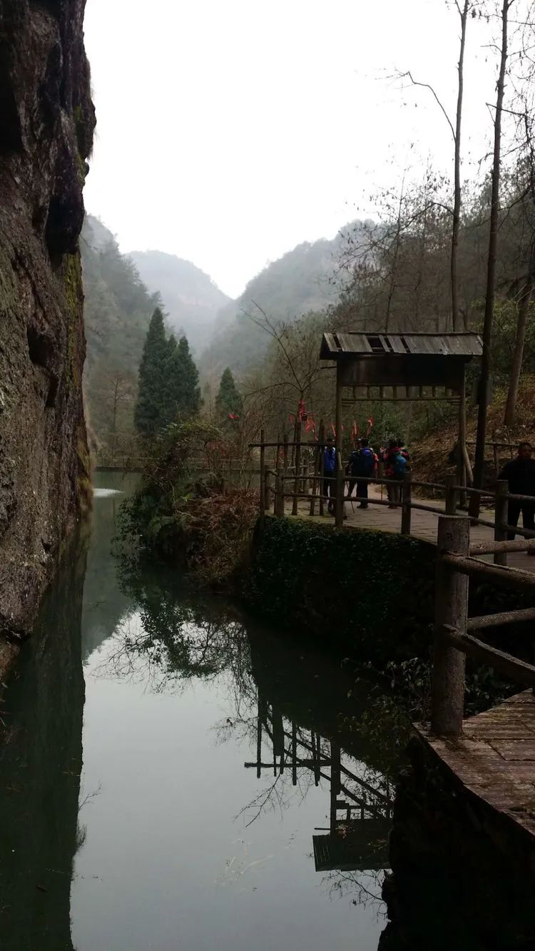
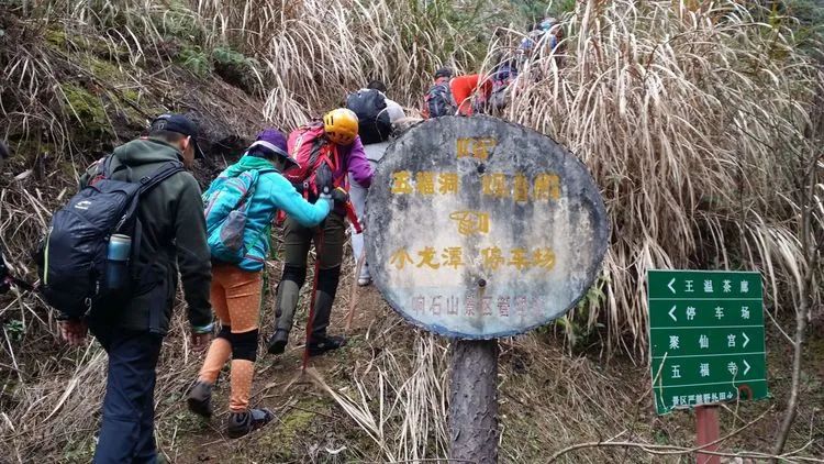
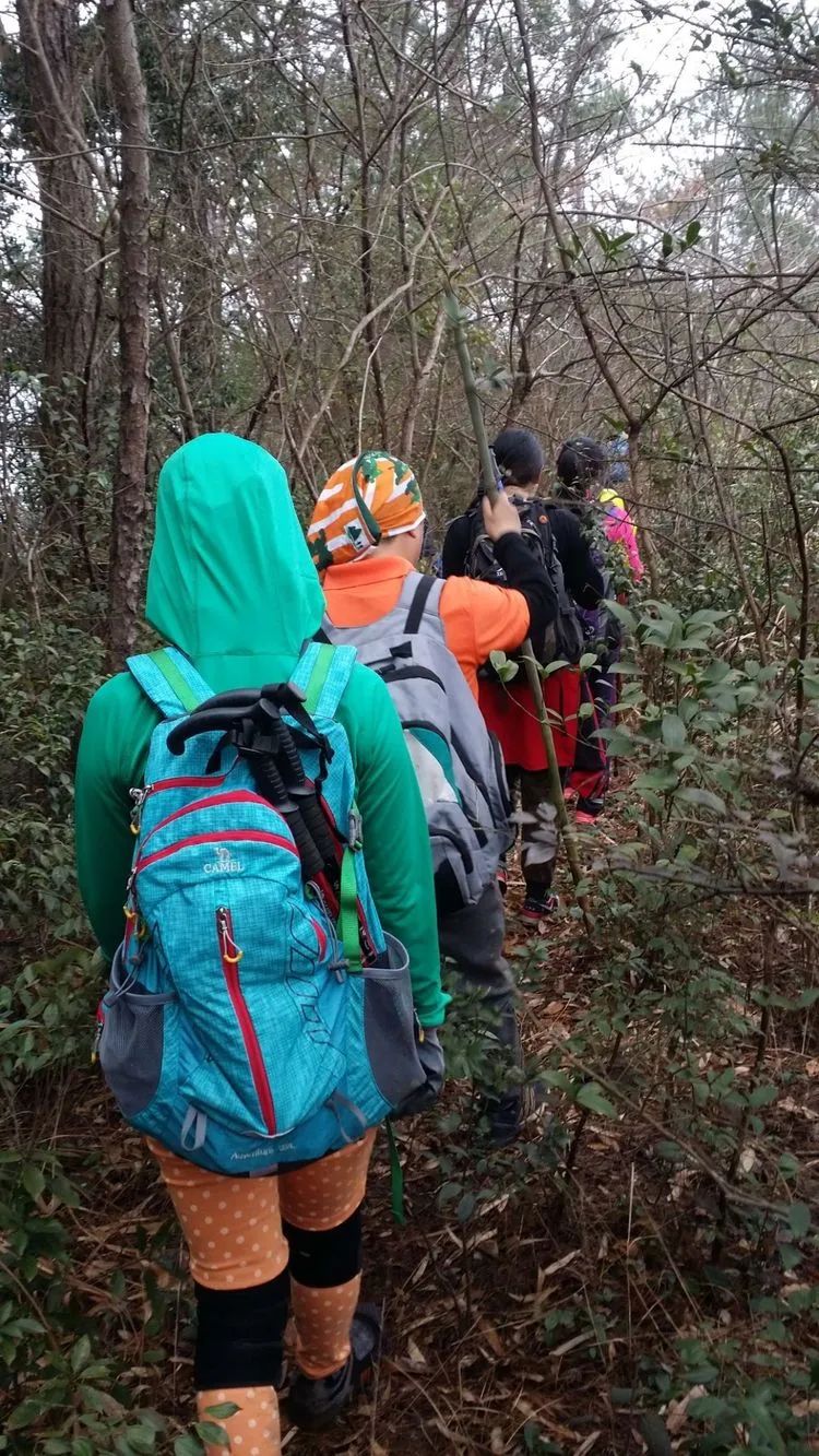
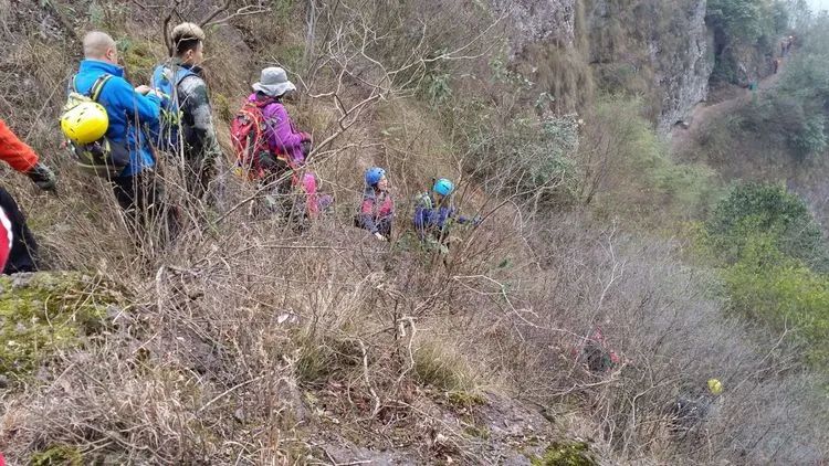
Park the car at Zhentou Village, Hengxi Town, get ready and set off, going up the mountain opposite the village.

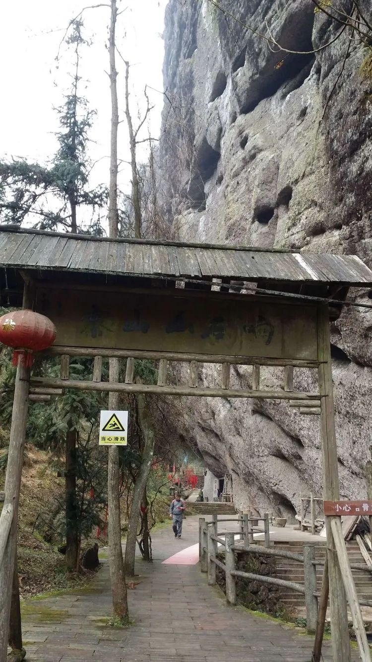
After going up the mountain col, go straight to the Xiangshi Mountain Scenic Area and turn right to the Pingfeng Rock Scenic Area.
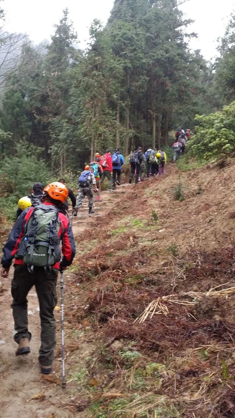
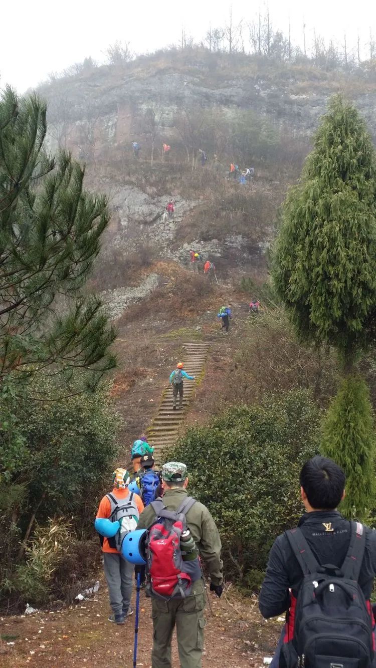
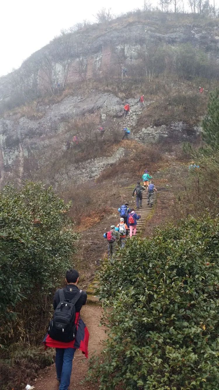
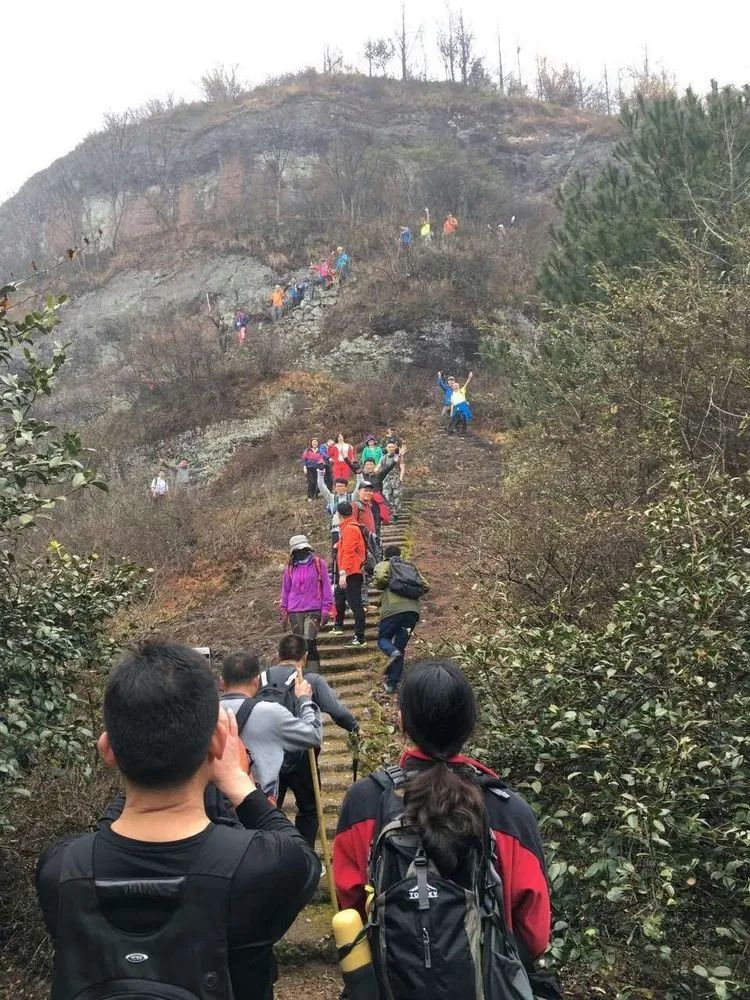
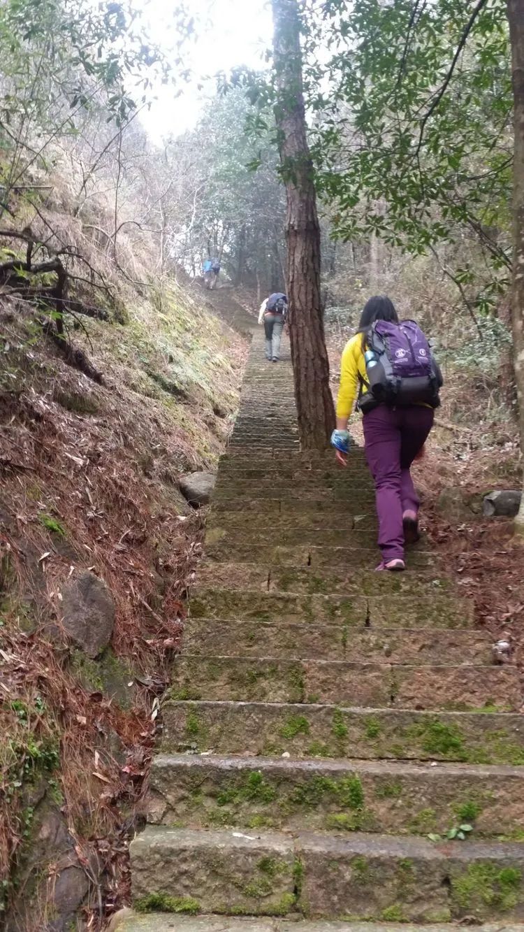
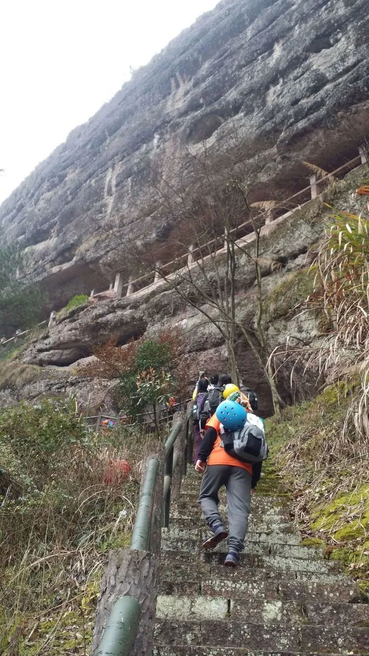
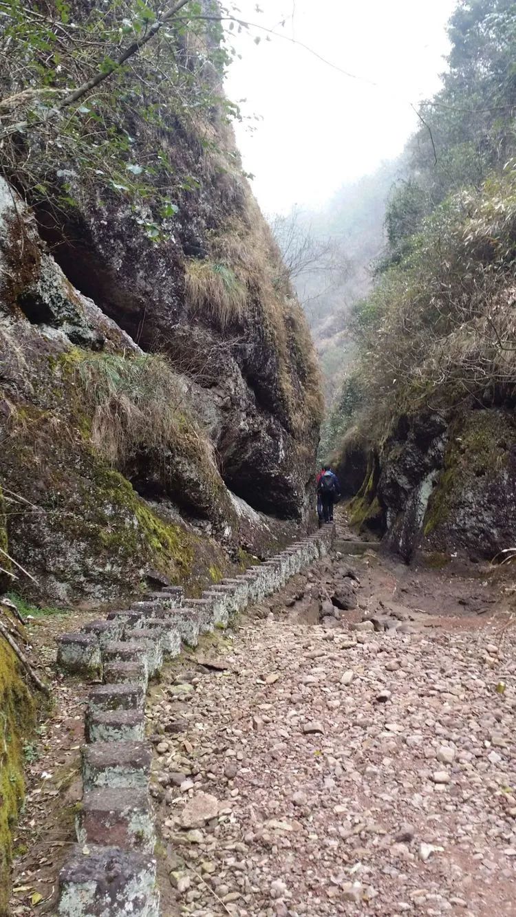
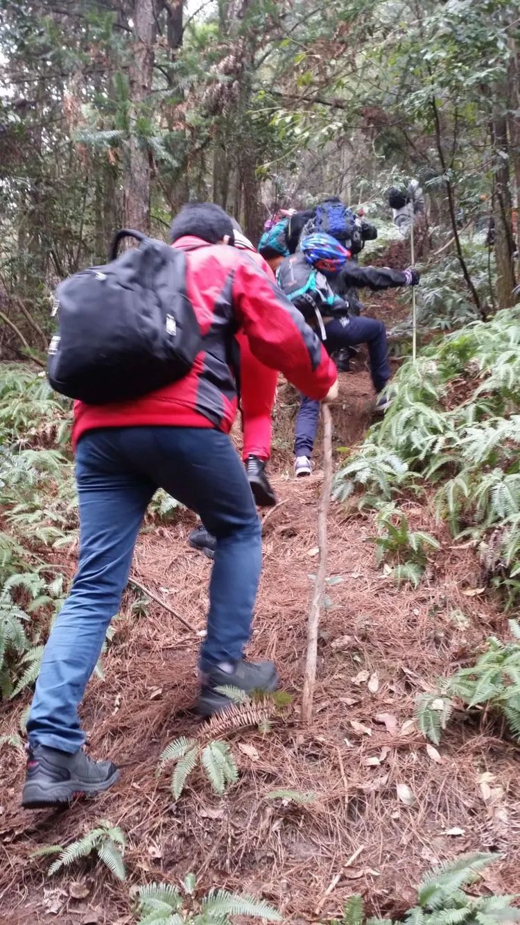
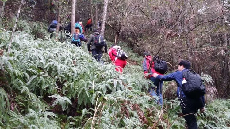
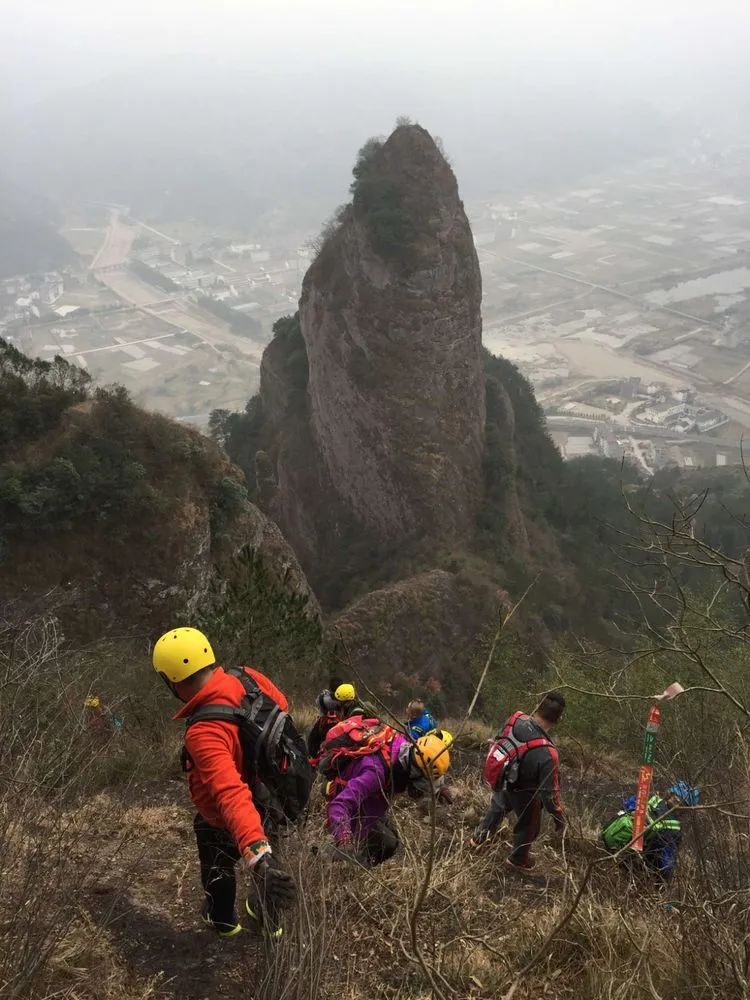
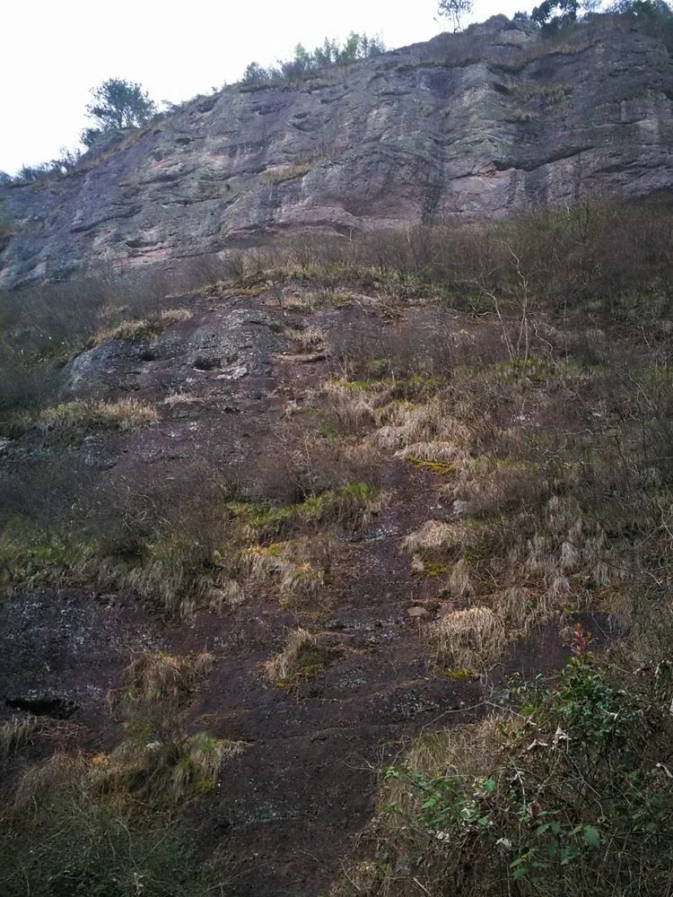
Climbing ancient road

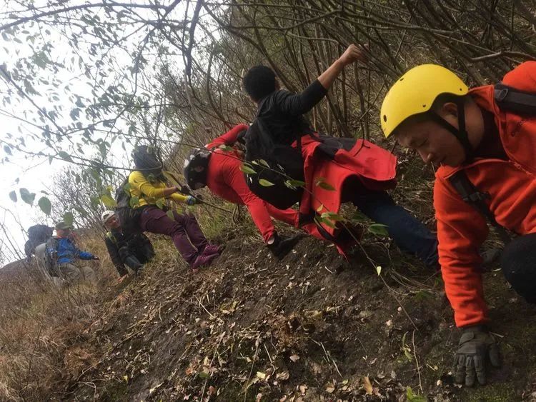
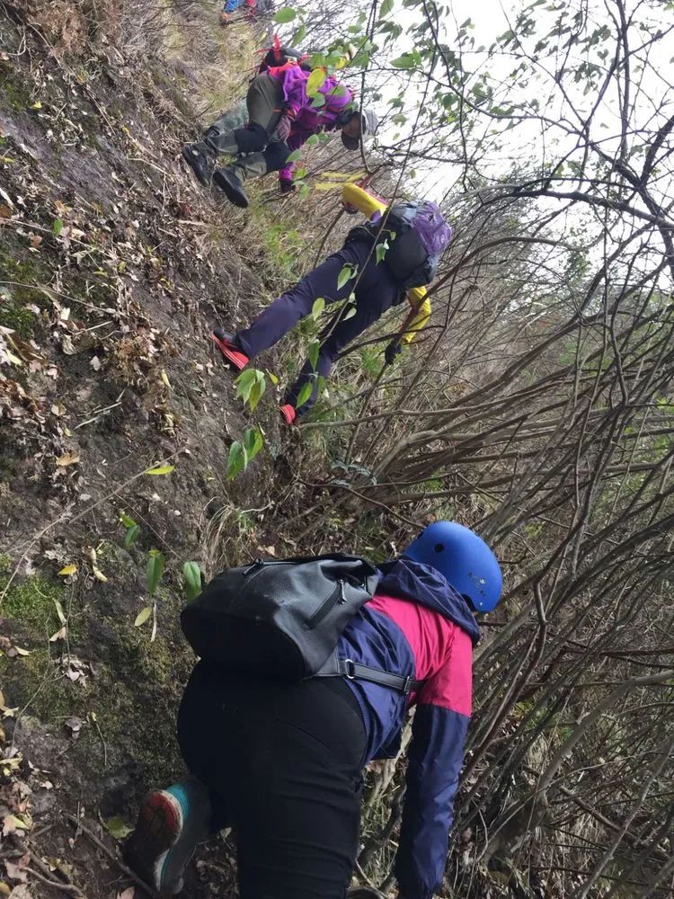
Lowering your head and walking slowly up the mountain, you can see that there is a bit of intensity
Turn right on the ancient trail and go up Pingfeng Rock. After returning to the original path, turn left here and go down the mountain.
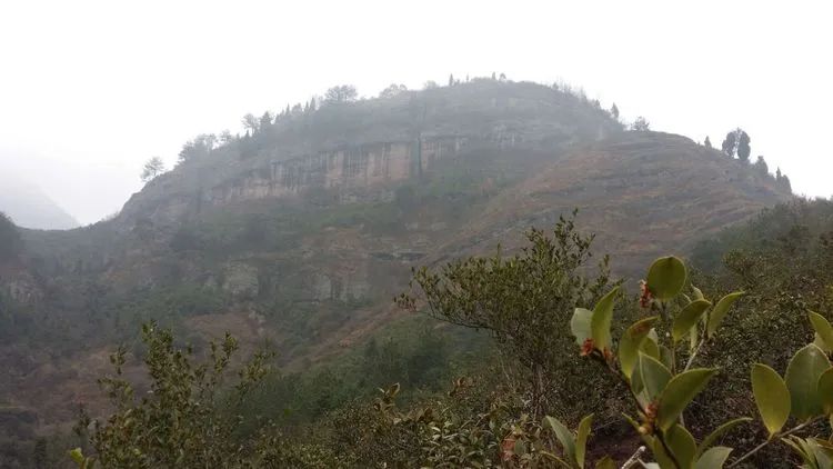
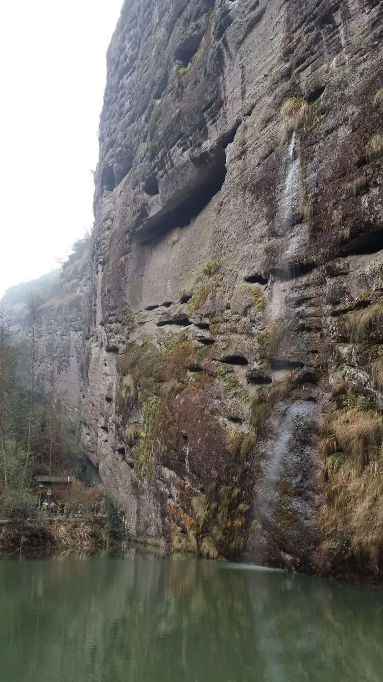
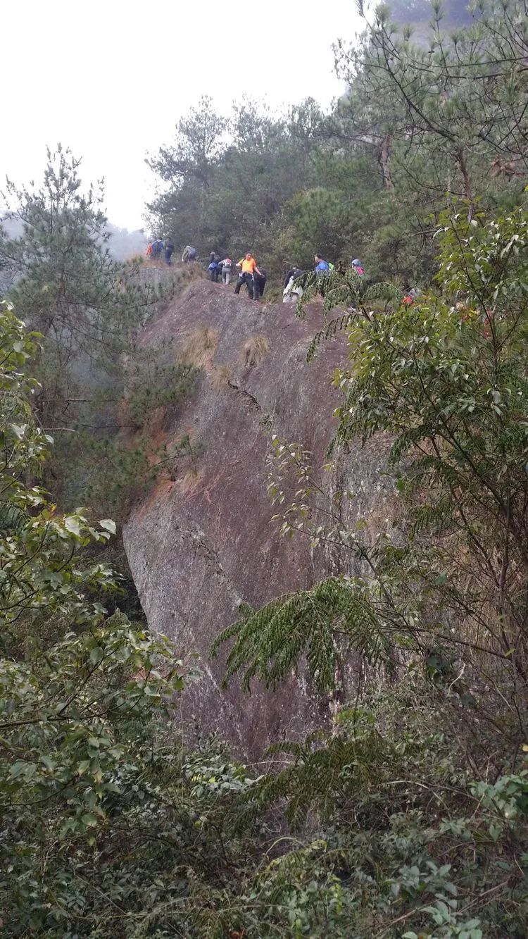
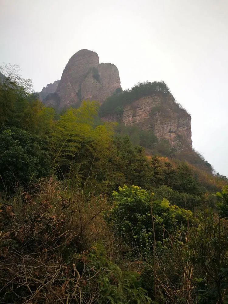
Pingfeng Rock, also known as Pingfeng Rock, is so named because the cliffs are surrounded by walls, shaped like a towering platform, and resemble a screen.
Pingfeng Rock has a flat top and steep walls. Looking up from the bottom of the valley, the steep rocks are like a screen and majestic. The top of the mountain is flat and empty, with beautiful scenery, surrounded by green water in the north and strange peaks confronting it in the south. On the top, a mountain spring forms a pool and an ancient temple is built.
During the Qianning period of Emperor Zhaozong of the Tang Dynasty (around 896 AD), the poet Qi Chan lived in seclusion at Pingfeng Rock.
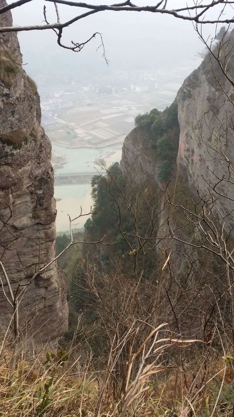
There is a cliff outside the road, but the firewood blocks the view.
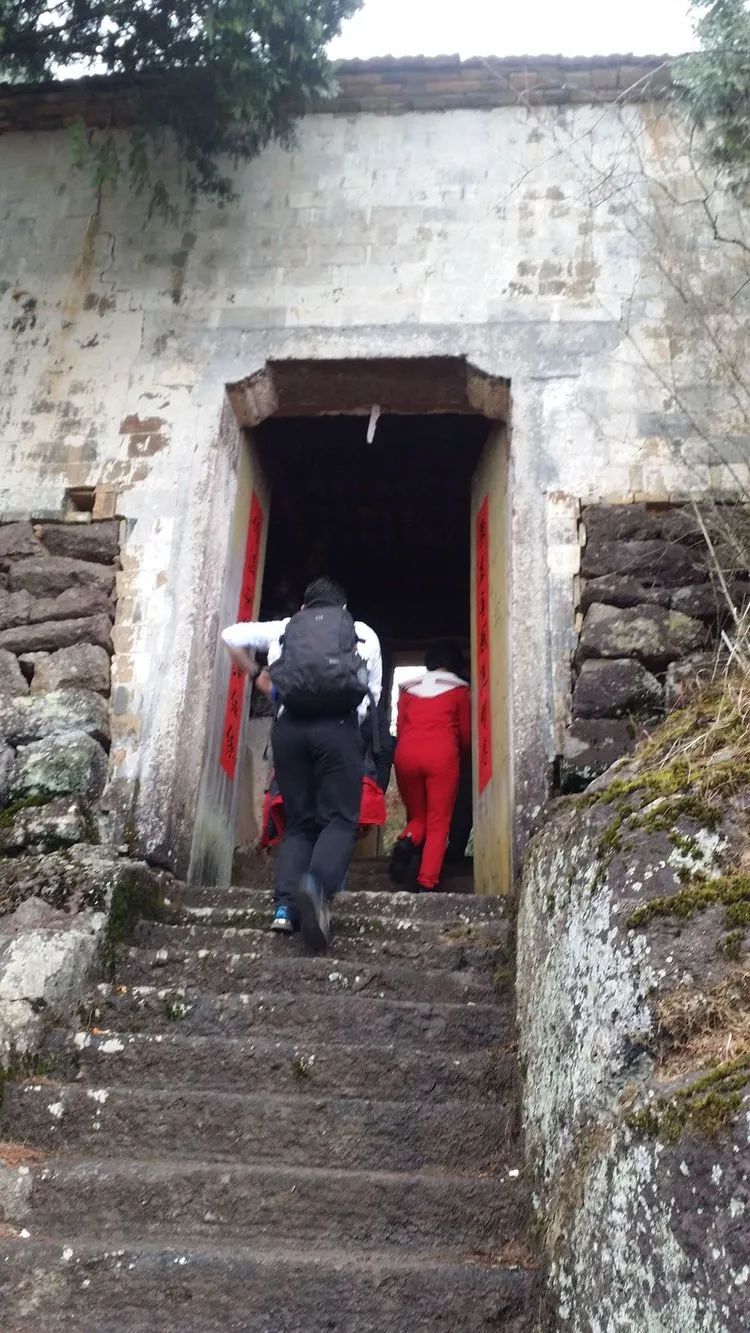
The mountain gate of Pingfengyan Temple is dedicated to Sun Dasheng, and there is a cliff in front of the gate.
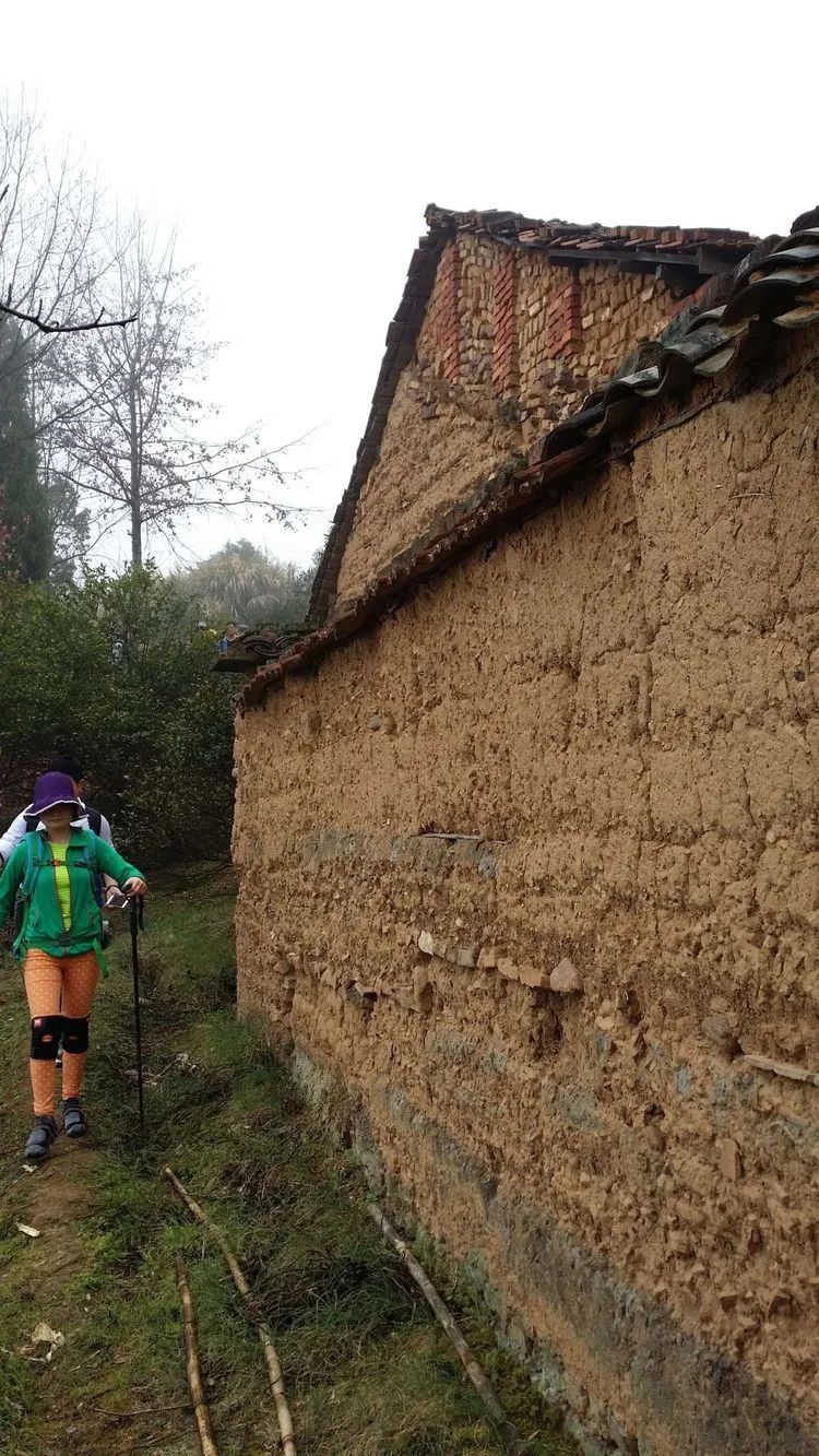
The outer walls of the Buddhist temple are made of mud blocks. This type of building is rarely seen in Wenzhou.
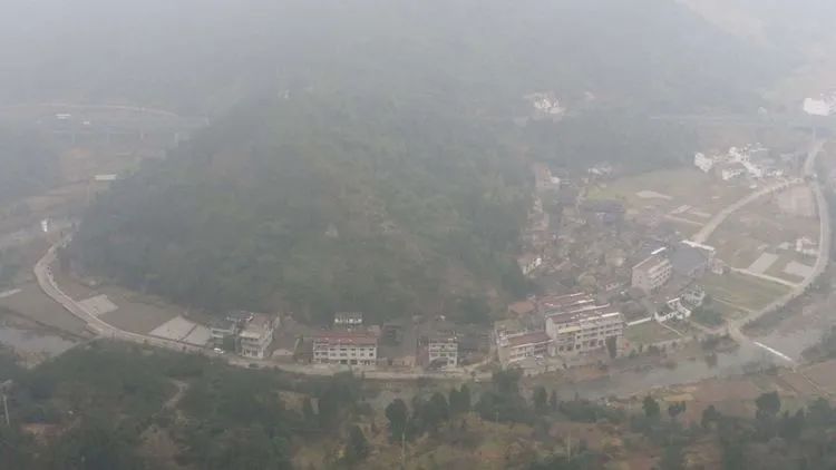
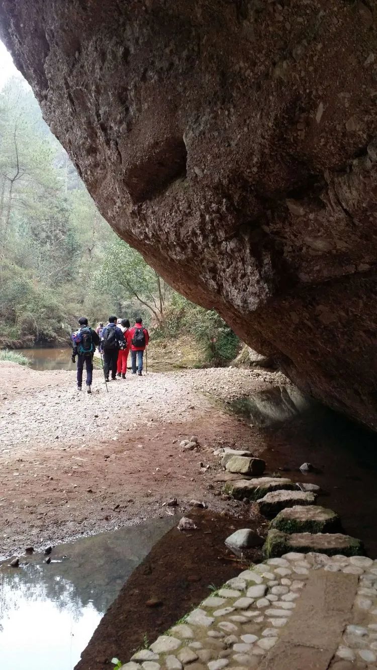
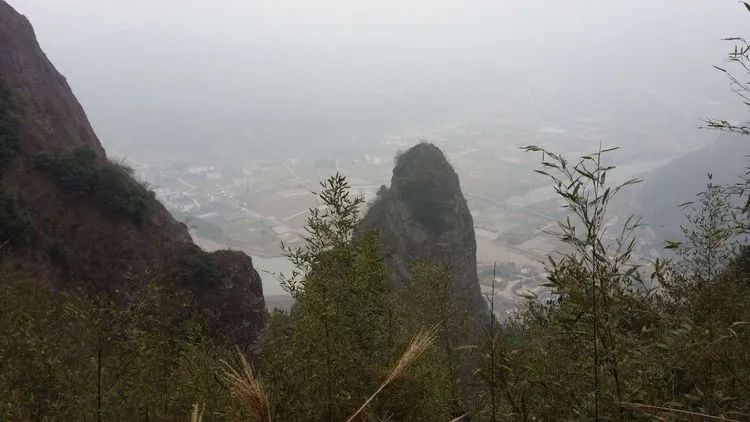
Pingfeng Rock overlooks Zhentou Village, and the stream passes around the village. We just parked the car and started crossing the village.
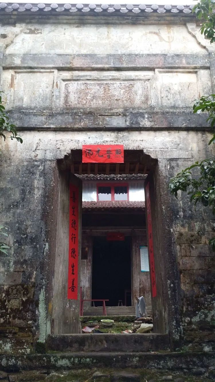
According to legend, Venerable Fahua, the Sixth Patriarch of the Tai Sect, and Master Zhiwei, the host of Guoqing Temple (? ~680 AD), preached and preached at Pingfengyan. In the early Yuan Dynasty (1049 AD), Emperor You of the Song Dynasty, Wu You, the magistrate of Xianju County, preached at the place where Zhiwei preached. Ping Feng Cave Temple was rebuilt.

On the steep and rugged cliffs, it turned out to be flat and wide, with temples, houses, and vegetable gardens covering a large area.

Return the same way
On the left is the road we just came from, go straight to the Xiangshi Mountain Scenic Area.
Looking back at Pingfeng Rock, there is a poem that says: Thousand-foot cliffs are like screens, Tianmen is a gate that is difficult for invaders to attack, ancient temples deep in the mountains ask for wishes, iron pits are explored for peaks.
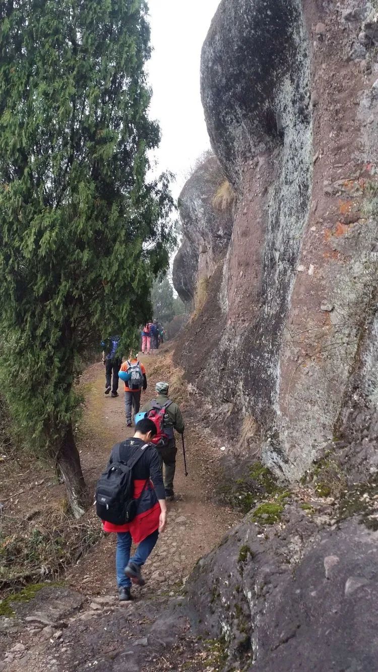
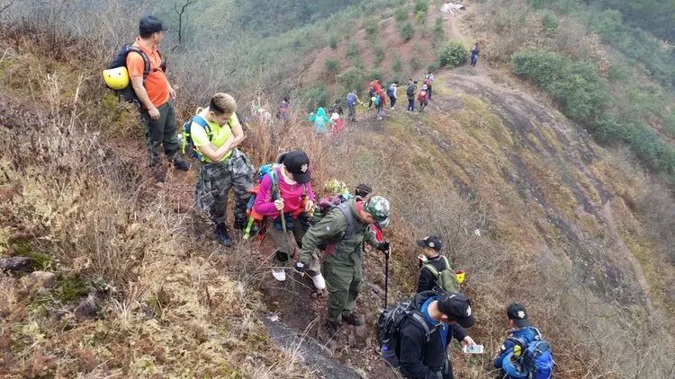
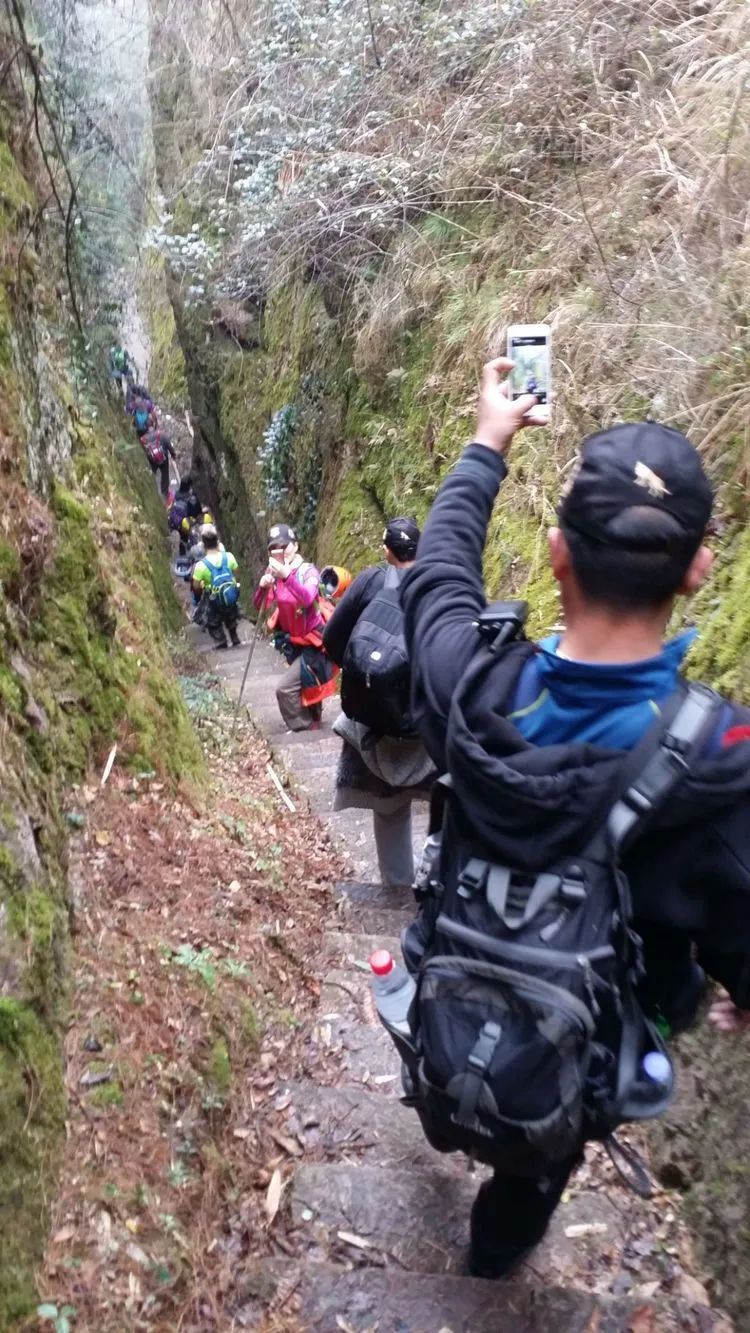
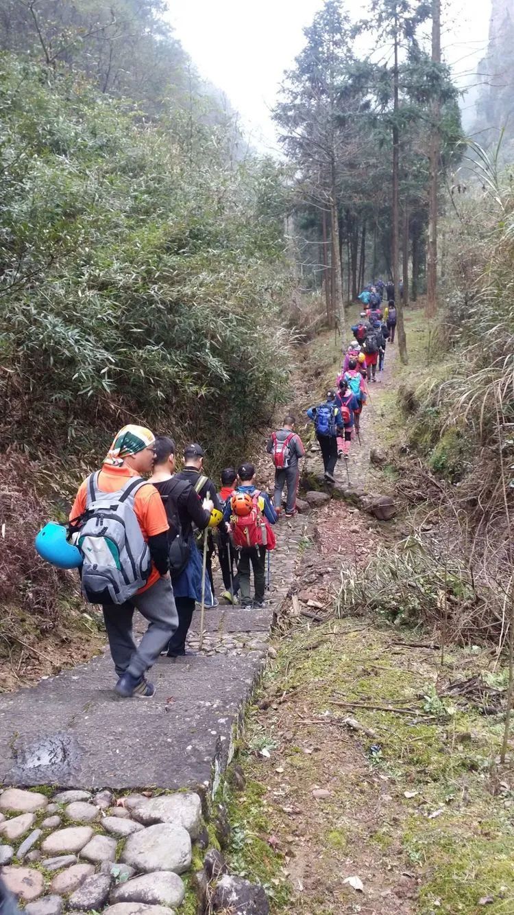
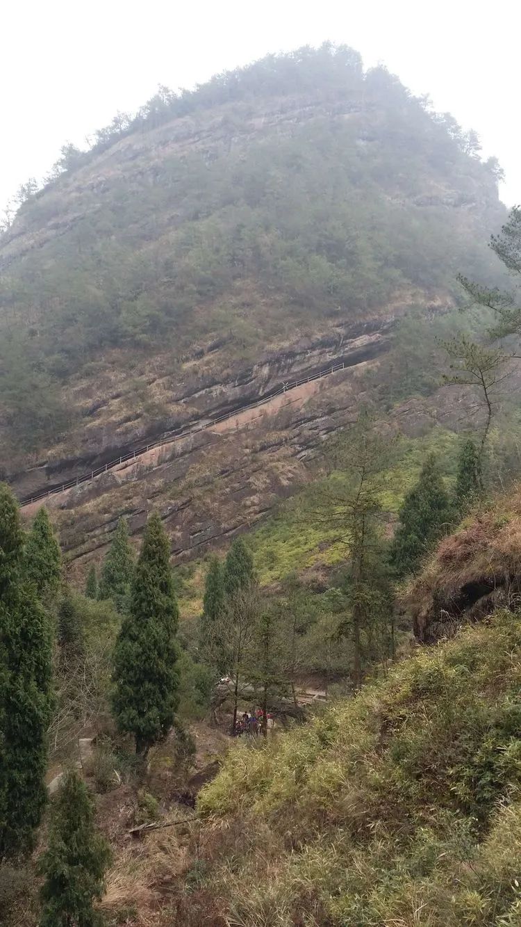
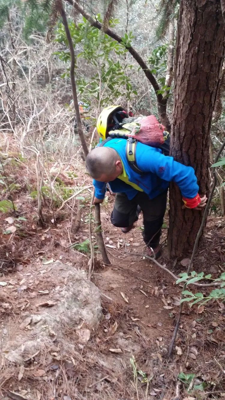
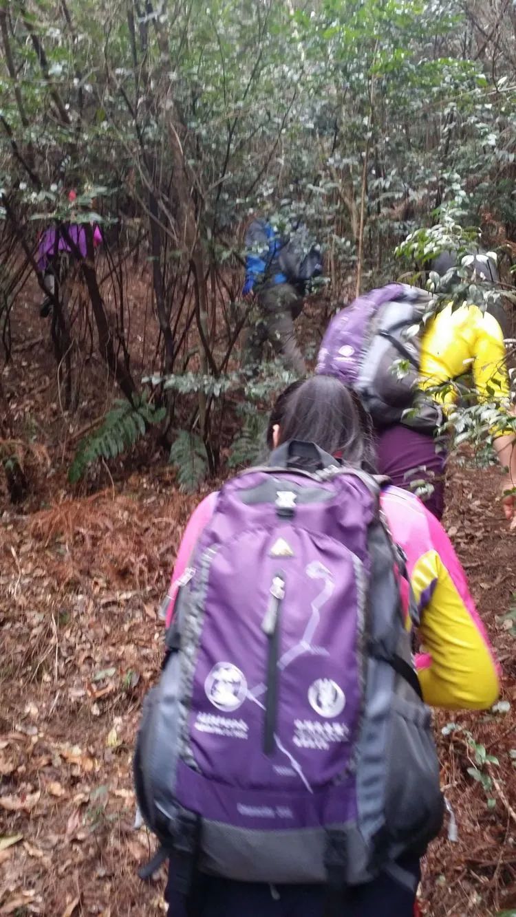
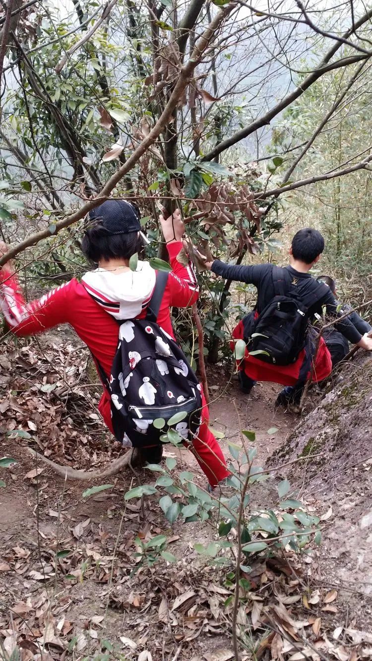
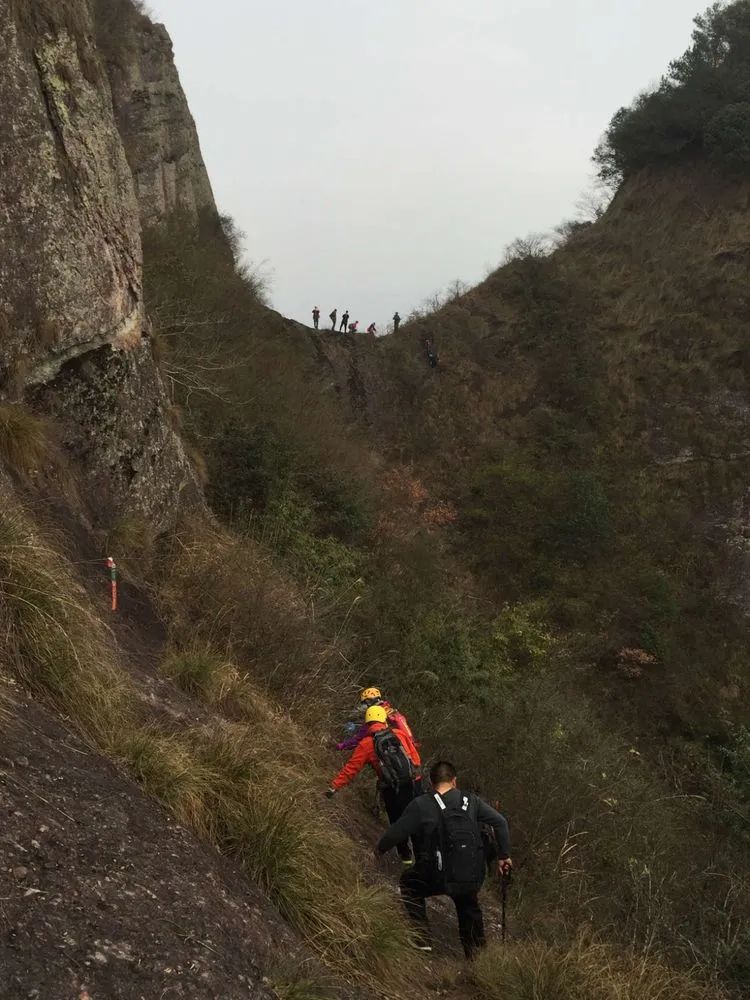
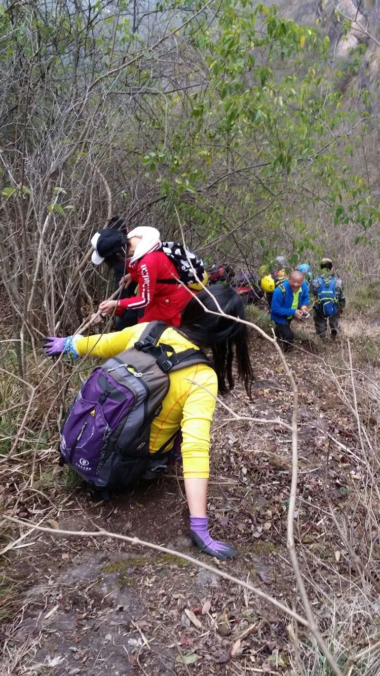
After descending the mountain, walk along the mountain trail

There are yew trees planted on the roadside, and the trail on the left enters the scenic area.
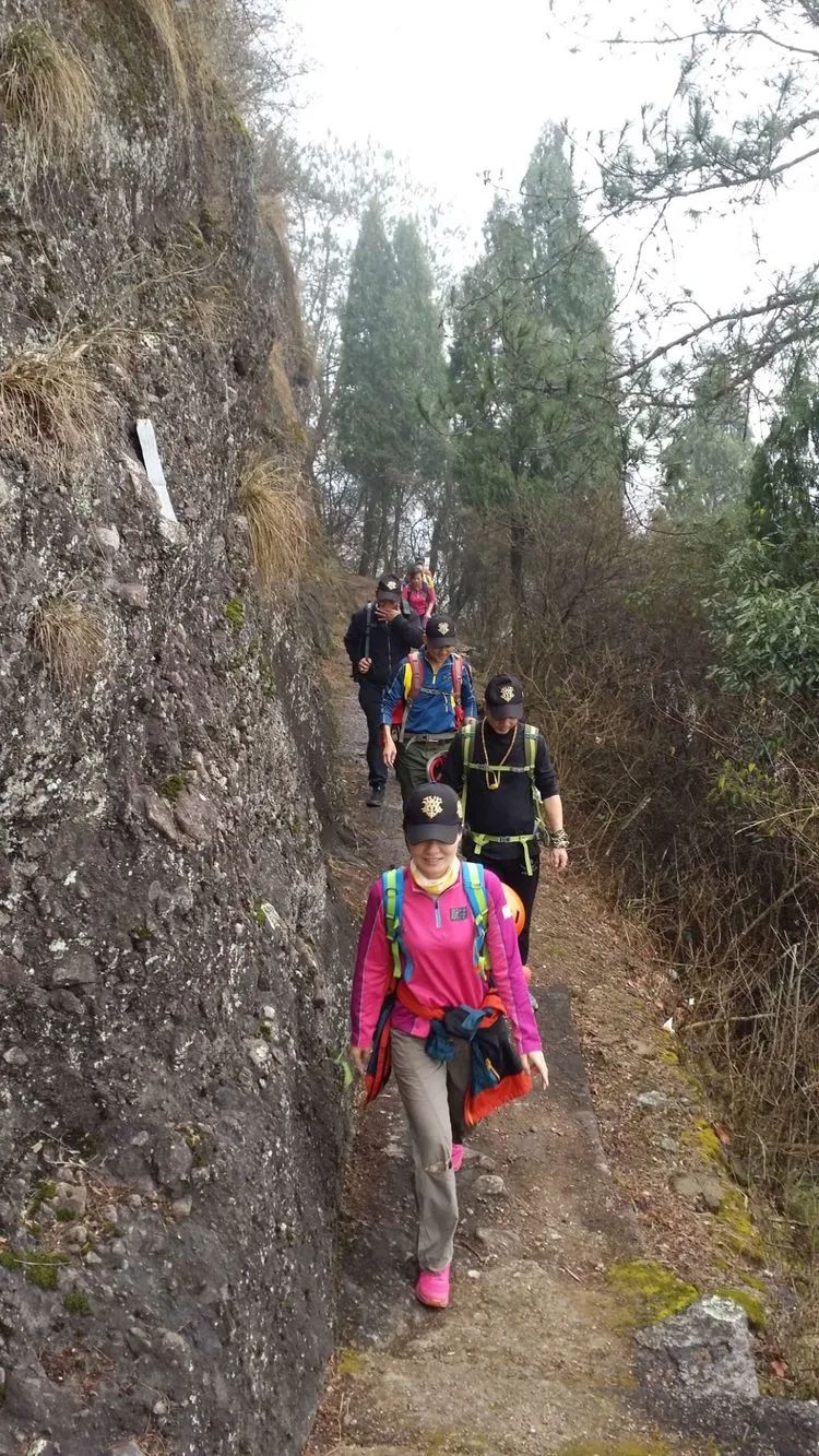
Mountain trails leading to scenic spots
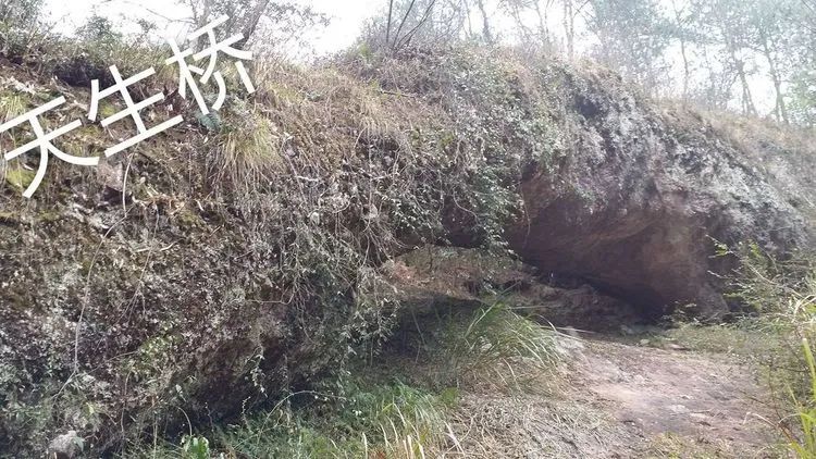
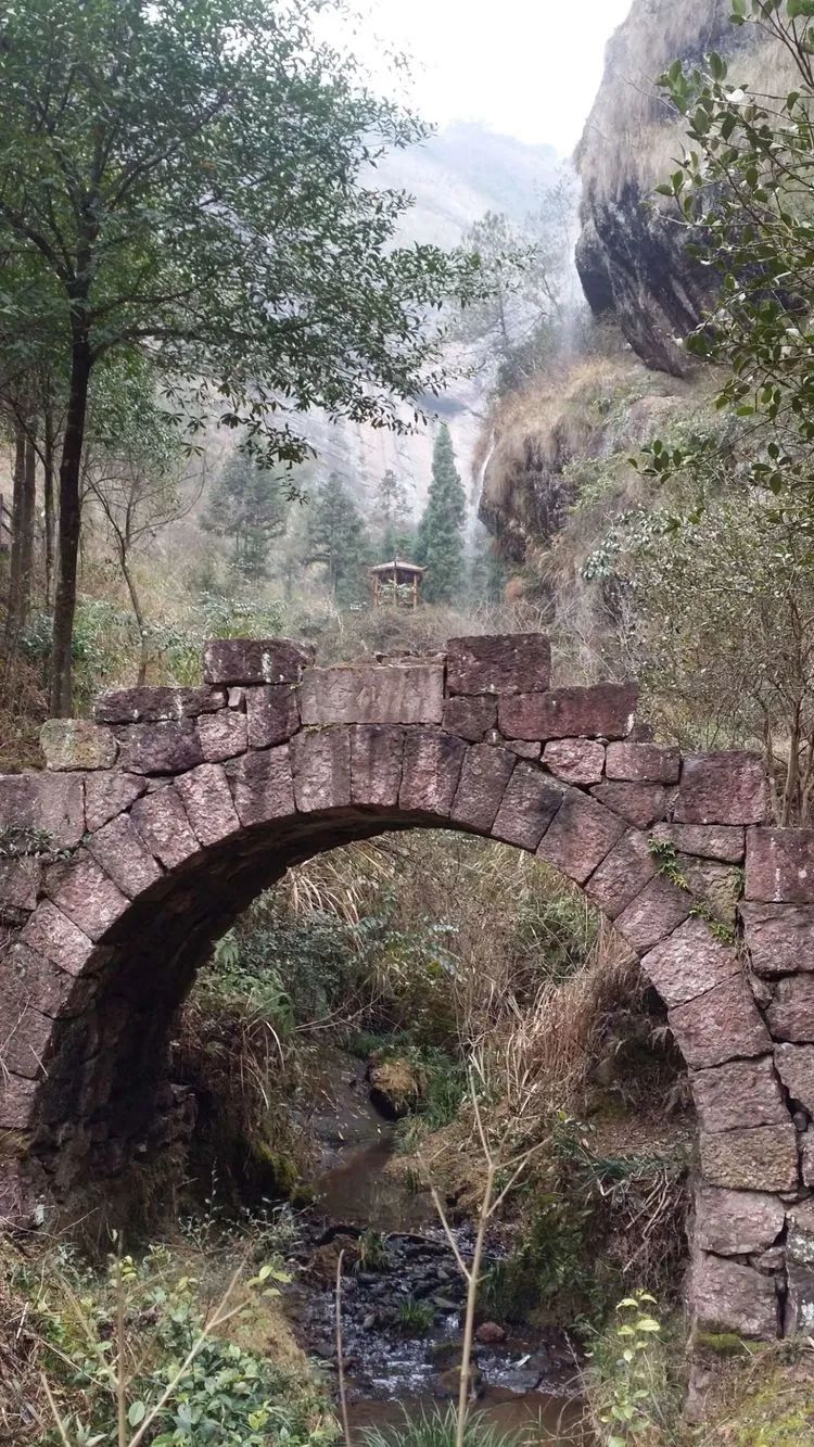
Tiansheng Bridge, still called Immortal Bridge, looks like a natural stone arch bridge, also known as Shiliang Tiangong.
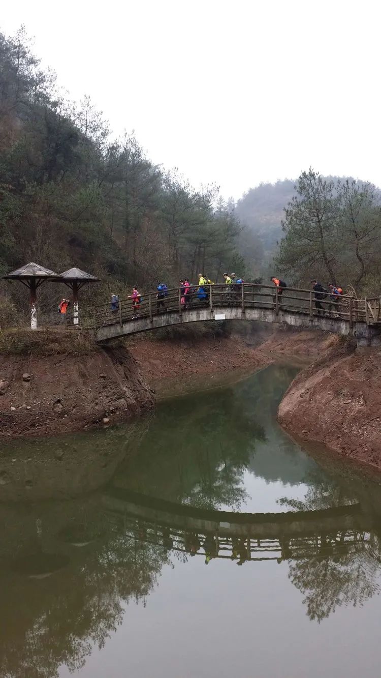
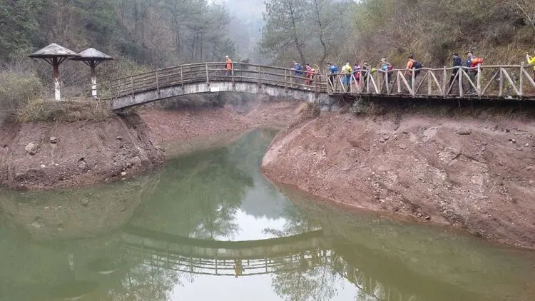
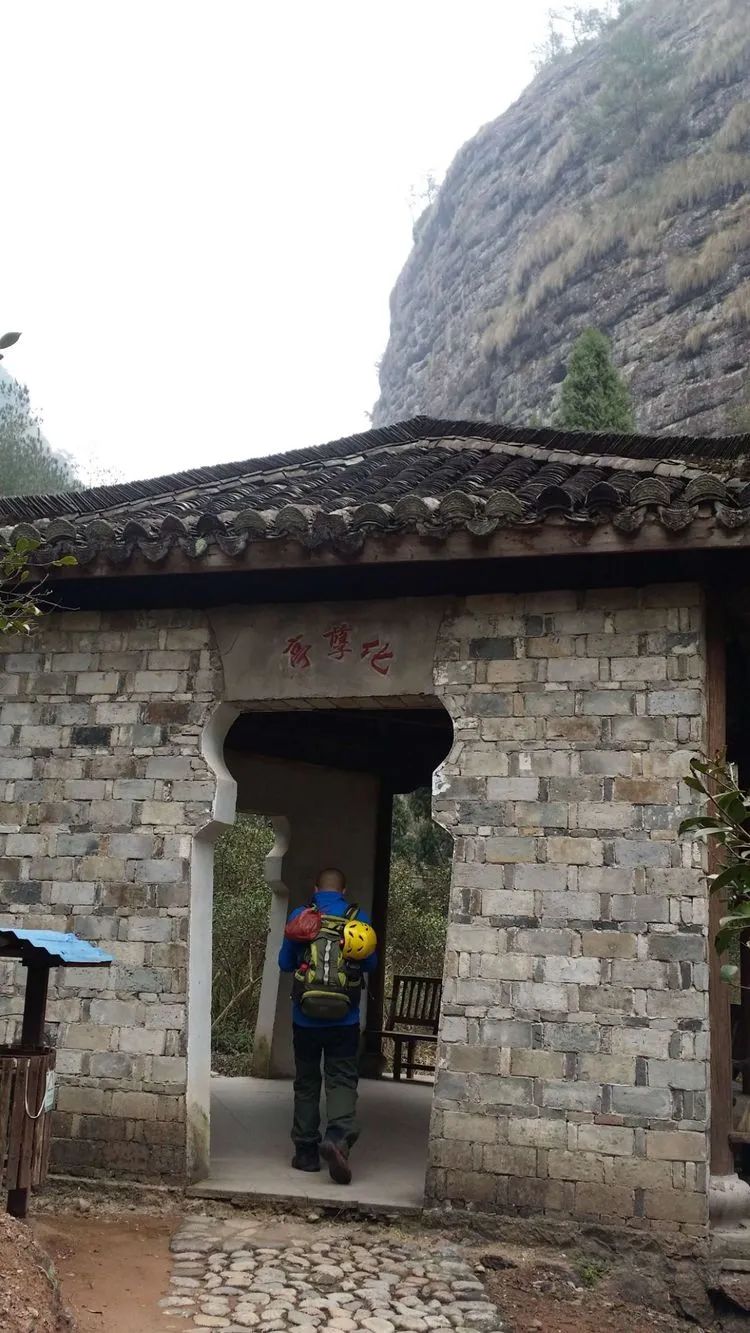
Enter Tianmen Gorge via Zhuxian Villa and Tiannv Lake (Immortal Lake)
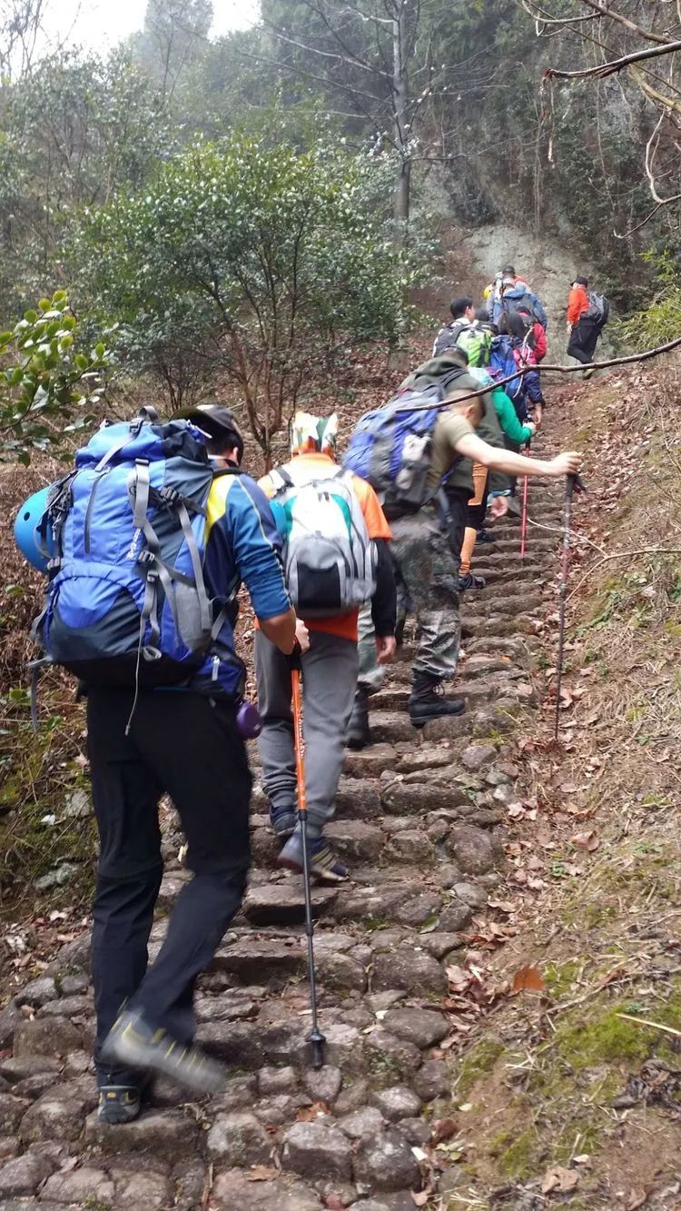
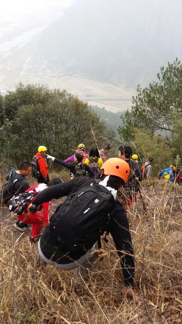
It’s a bit long to climb the steps

There is a resting pavilion at the top of the steps, overlooking the fairy peak in the distance.

There is a monument to the martyrs at the bottom of the small canyon.
Voice transmission in the empty valley
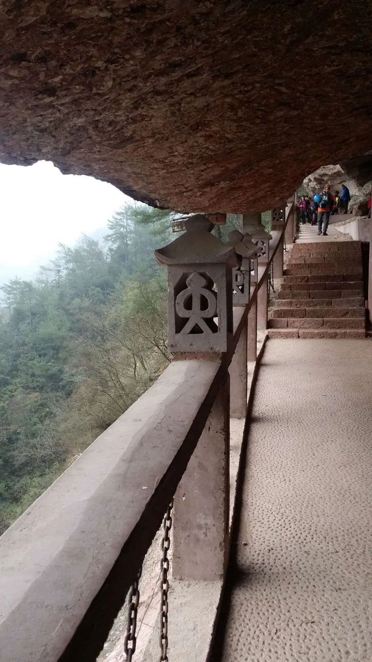
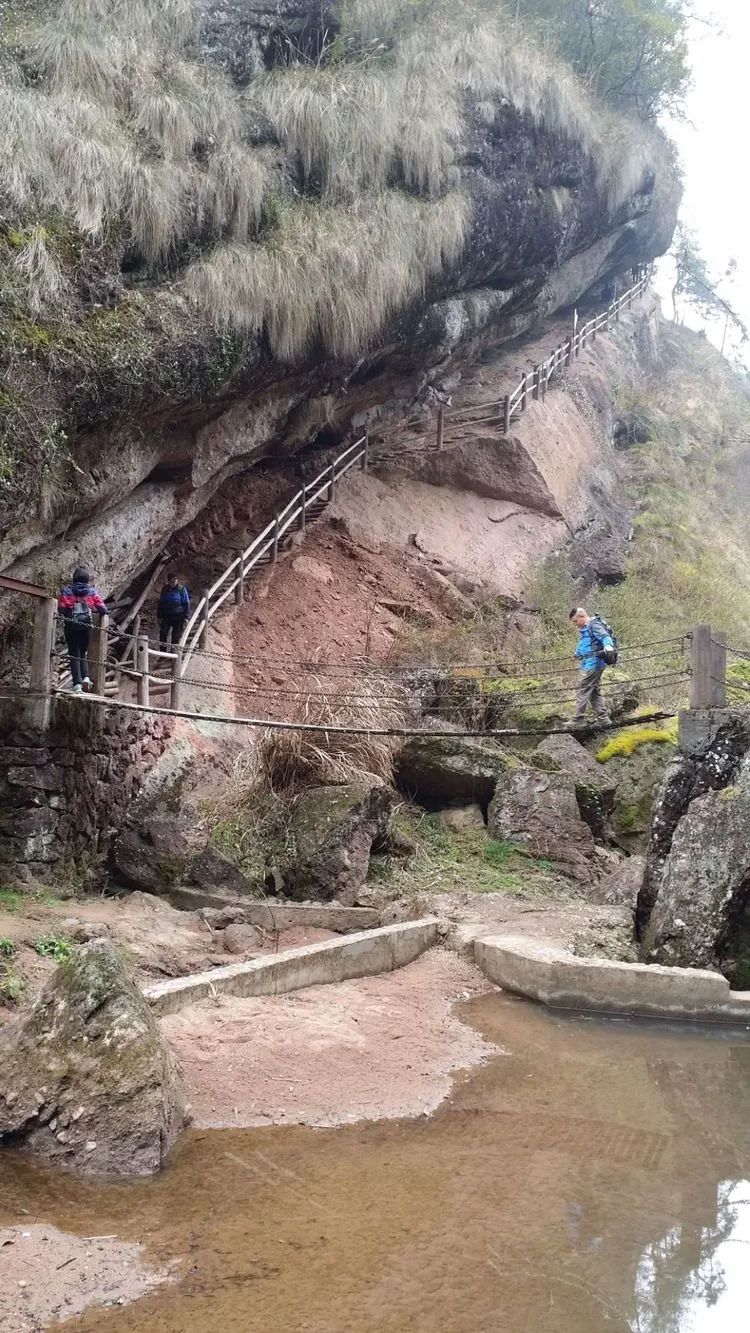
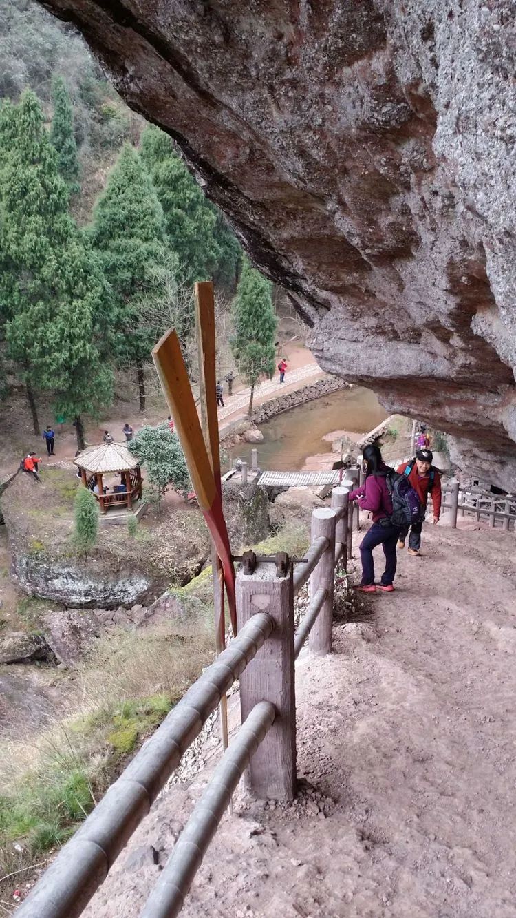
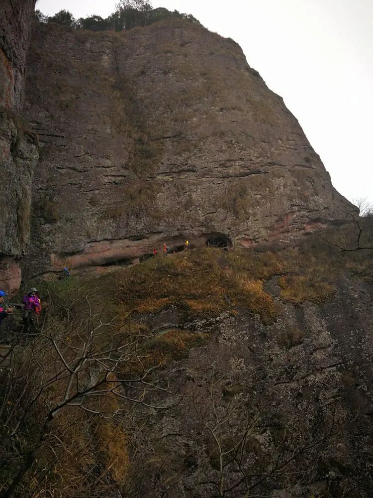
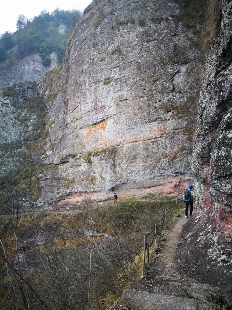
The ancient road hangs in the air
Corridor between cliffs

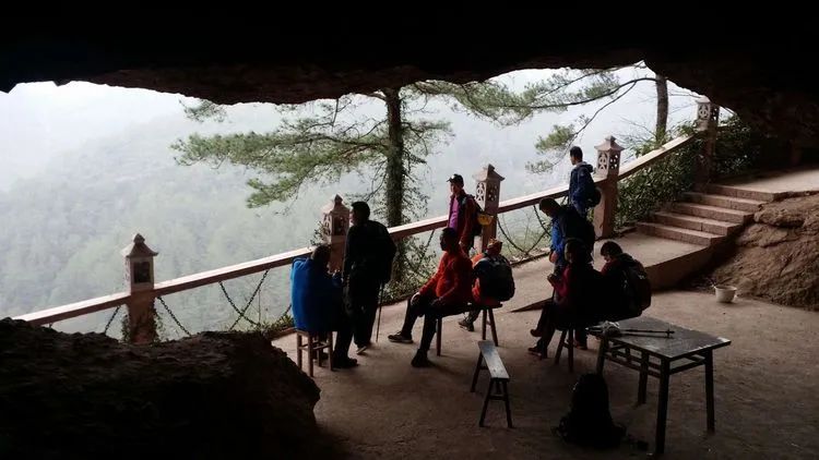
Juxian Palace
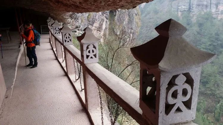
Stone lamppost, commonly known as stone pillar lamp, is a public facility for lighting in ancient my country
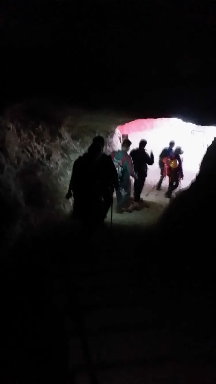
Walking through the rocks to seek immortality

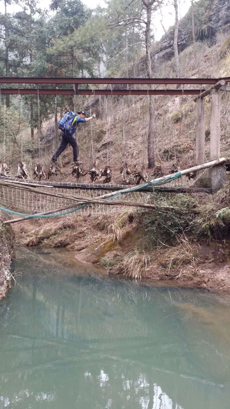
Wufu Cave is connected to Juxian Palace through the mountain, and there are also outdoor crossing routes. We returned the same way.
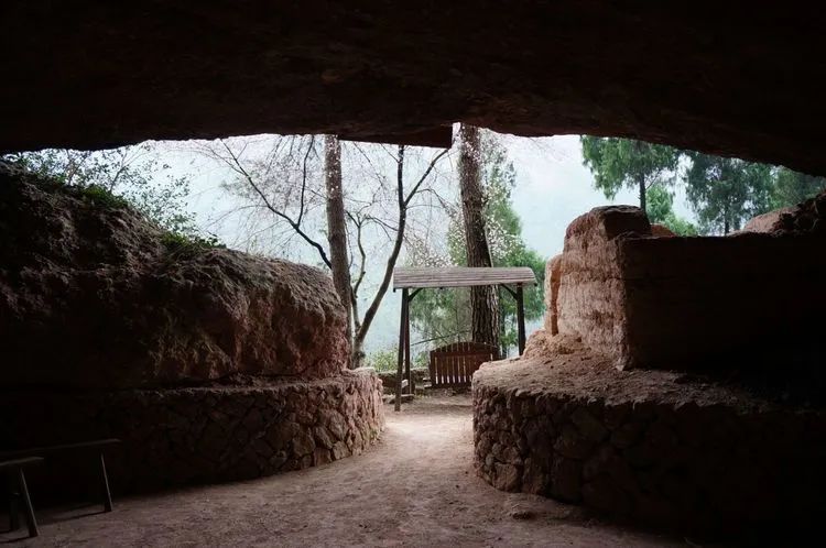
Ohbok-dong
Juxian Plank Road
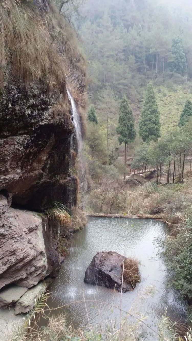
Golden Waterfall Bath Fairy
At Fengxian Bridge, I had lunch with Jiucai and Ye Shen on the casual stone table here.
The stone chamber listens to the rain, and there are ancient wood fossils on the stone wall in front.
Tiger and Monkey Gorge

Going forward is Xianren Lake, where we just entered the scenic spot.
Go back the way you came and meet up with the rest of the group that has been waiting for the meal.

There are mushroom rocks on the side
Hua Ni Pavilion is said to be built for the story of Wang Wen who became an immortal after drinking.
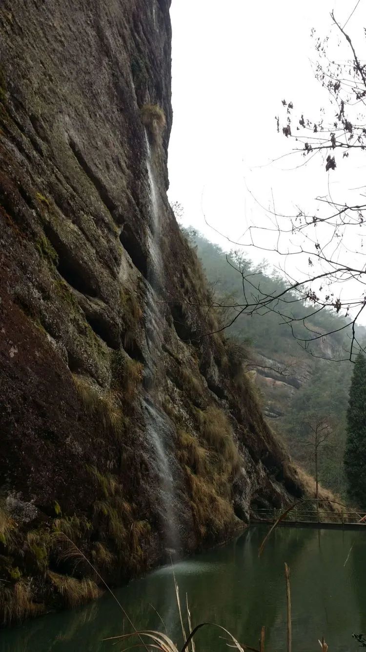
In Xixin Pool, the water waterfall flows out from the middle of the cliff. It is probably artificially diverted water to design the landscape.
Xiangshishan Village

At the foot of the cliff are ancient farm tools such as mortars, stone mills, and rice pounders.
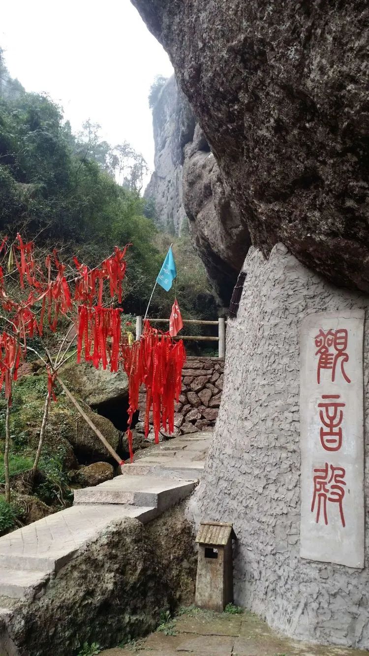
Guanyin Hall
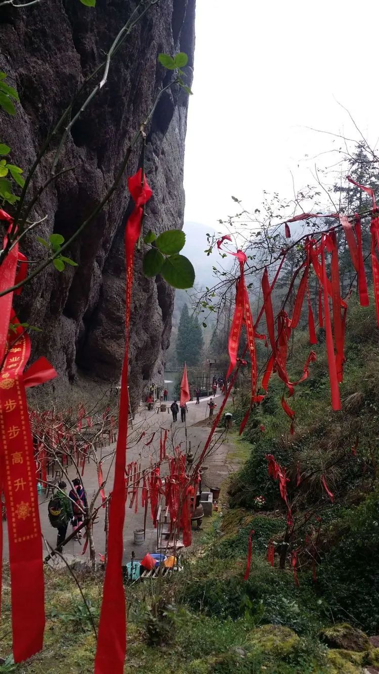
The red ribbons hanging on the trees have become a landscape.
Heart washing pool
The cliff above the pool is engraved with the handwriting of Zhu Xi of the Song Dynasty: The energy of the earth hangs here.
Xiangshizhai came out of Lover's Valley, but I didn't go there during the development. There is a plank road between the cliffs, where does it lead?
The playground feels like it has not been taken care of for a long time and is abandoned.
The plank road is relatively steep, and you can enjoy the distant view of the scenic spot.

crocodile mouth

Go left to the scenic area gate exit. It is said that there is an outdoor passage on the right side of the gate😄. On the right is the scenic area, which is indeed famous for its tranquility. There are also a few tourists in the scenic area who encounter this large group of people. They are too conspicuous. Choose right to exit the mountain

The path on the left goes up the mountain. I just saw it now. If you go forward, you can also go to Wufu Cave and Juxian Palace.
According to the route taken by outdoor people, the ancient road that was used to enter the scenic spot in the morning is considered the route taken by outdoor people.
Overlooking the plank road we just visited
I feel that walking on mountain trails is much more fun than ancient trails.

There is a cliff on the left, but it is not high. Walk along the edge of the cliff.
The mobile phone of a team member behind fell off a cliff, so we went to look for it. The team rested where they were and were lucky enough to find their cell phones.

Looking at the photos, walking on the edge of the cliff is quite dangerous. I didn’t feel it while walking😊

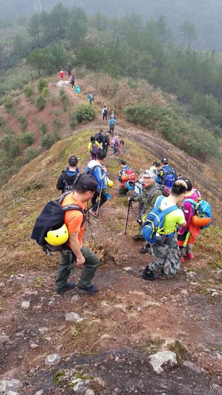
None of you have probably walked it before, so you rely on the leader’s outdoor experience and the outdoor tracks recorded by others to judge the route.
Keep climbing
Pass through the woods and descend again at the top of the mountain.
While waiting for the leader to explore the road here, you can see a mountain road on the mountainside below.

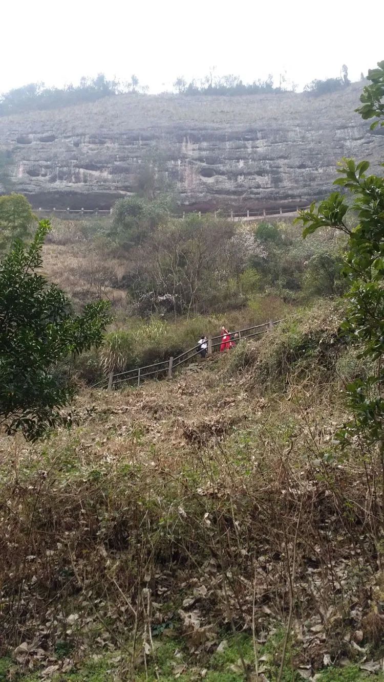
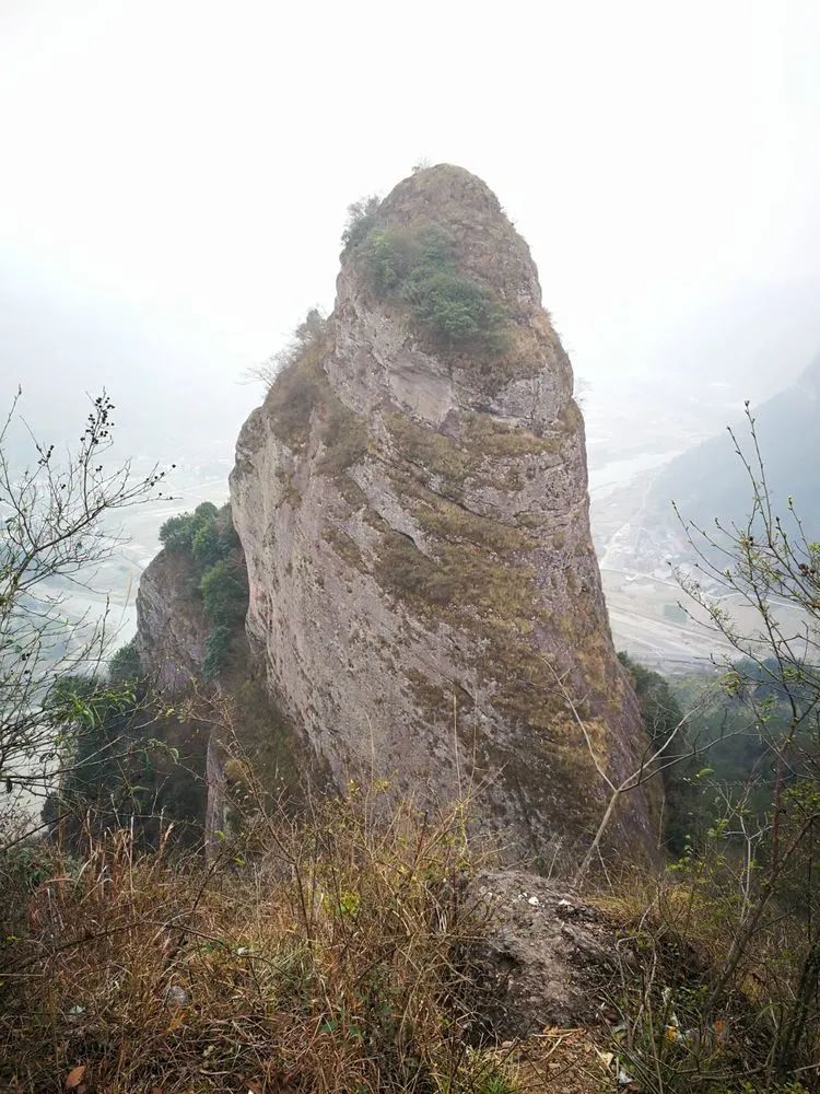
Jiguan Rock, whose cliffs are arranged side by side to form a screen, looks like a rooster's red comb, hence the name Jiguan Rock. The angle is wrong and you can't see it. In order to find out which mountain is Jiguan Rock, I became a researcher. It is exactly at the foot of the mountain. Looking up, the peak at my location is connected with the peak on the opposite side.
There is an outdoor track going down the mountain on the right side. You can go down the mountain just now, but there is a 70-degree overhang. It is an outdoor uphill route. Put clues.

The road is blocked, which means that the road ahead is either exploring or difficult to walk.
Make the dirt road smooth 😂
Tailless dragon stalagmite at Jiguan Rock in Qiushan🤔Information introduction: There is a stalagmite protruding in the middle of Jiguan Rock, like a sharp sword unsheathed, like a magic pen painting the sky, called the tailless dragon. There is a fairy-like cave between Jiguanyan and the Tailless Dragon. Legend has it that three dragons came out of the cave, which is called the Dragon Mother Cave. There is also a beautiful legend.
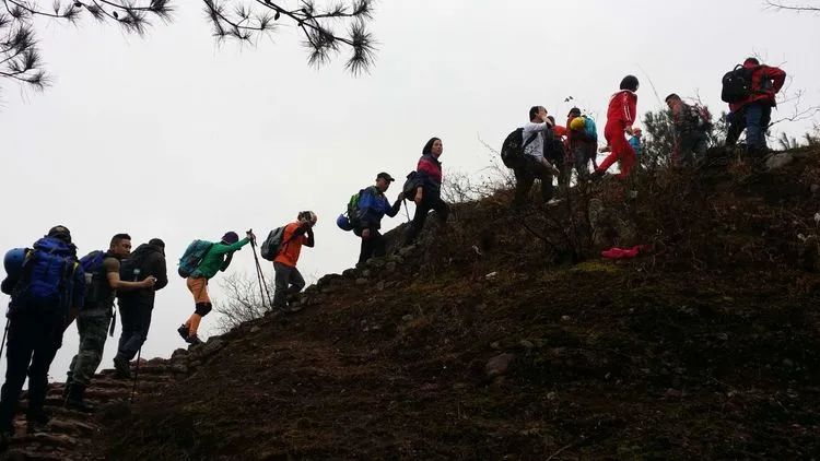
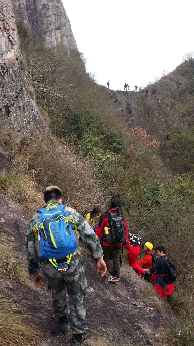
The mountain road is really steep

It's boring to enter from the ancient road, but it's an unexpected bonus to come out from here. Everyone says it's fun and exciting this way.
Whether it’s steep or not depends on the action😜
Seeing the forward team standing on the ridge, Jiucai panicked and said that he was afraid of heights and dared not walk. I was also afraid of heights. Looking at the cliff below, there was no way to the right. It was unrealistic to go back, so I had to bite the bullet and follow. So many people can do it, and you must do it too. Later, when I was going down the fitness trail, I heard several people saying they were afraid of heights 😂

Walking up and down the overhanging walls, thanks to the courage and wisdom of the route developers.

Parallel to the ridge direction
It's a bit steep, but the road is still walkable.
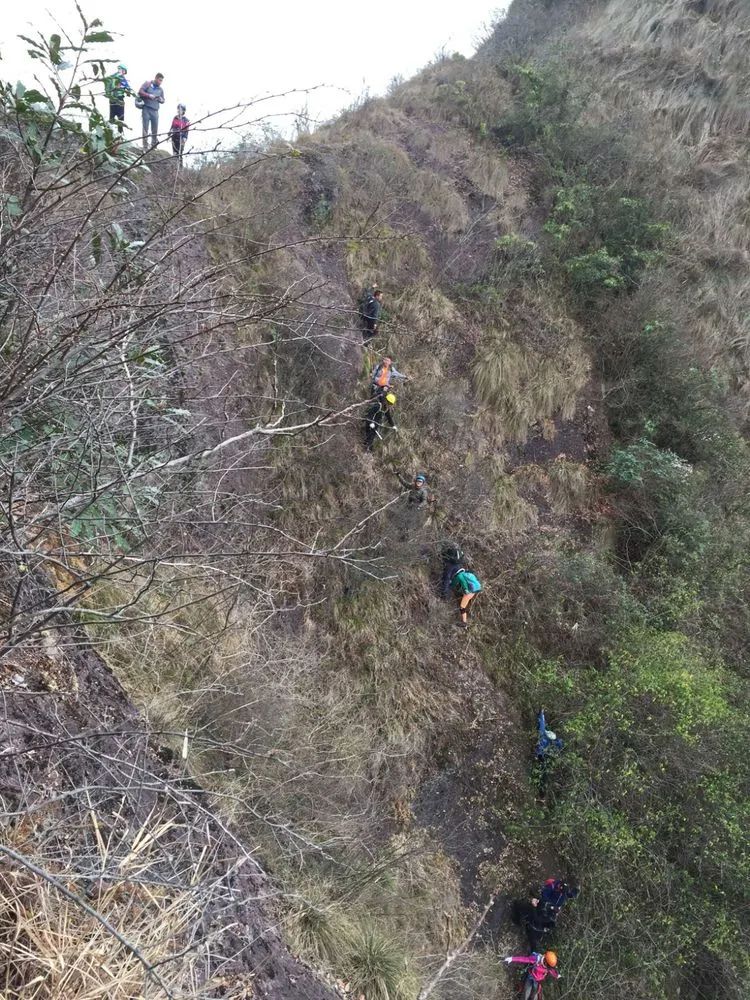
After passing the ridge and climbing down, you can guess the slope by looking at the movements of the team.

The ridge between the two peaks is the concave beam of Jiguan Rock😂
When we reach the ridge, it is still nearly one meter wide. It seems that the slopes on both sides are somewhat buffered. I am afraid of height and verticality.

The road is blocked, leaving a shadow.
The slope depends on the action. This route is used to evade fares outdoors and enter the scenic spot. We crossed it instead, escaped in and escaped again😂
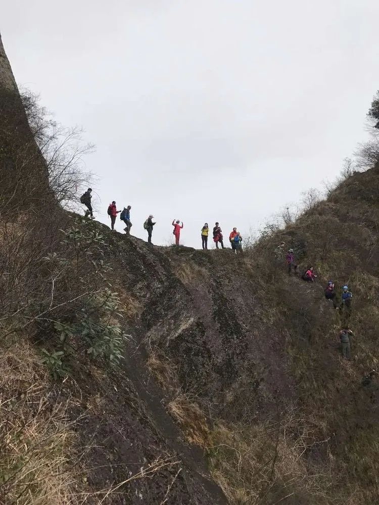
The mountain road is clear and success is imminent👏👏
Finally we reached the mountain road and looked back at the route we just passed.
The mountain road leading to Longmuyan is narrow and has no protective facilities.

The tour leader said that there is nothing good to see ahead, so don’t go if you are afraid of heights. I actually came and went up to have a look. I saw a vertical cliff and rough roads. There were a few steel bars on the roadside for simple protection. The further I walked, I felt more and more guilty. The villages at the foot of the mountain were also unfamiliar. I returned from the last short section.
I can only look at the beautiful photos of my teammates. I didn’t see the Dragon Mother Cave nearby. It’s probably here in this picture. Otherwise, why is there such a mountain trail on the cliff?
This angle is still very reliable.
A mountain path between cliffs, the mountain is indeed very steep.
After coming out along this mountain road, there is a 2.6-kilometer fitness path down the mountain. The road feels a bit long and a bit steep, maybe because I am tired😃
When we arrived at our destination, Zhang Village, Xikou, Qiushan Township, we looked back at the Jiguan Rock (Dragon Mother Rock) we had just climbed. It was a bit crown-shaped. To see the shape of Jiguan Rock, we had to change places.
Comments
No comments yet