
▼Road Book
▼
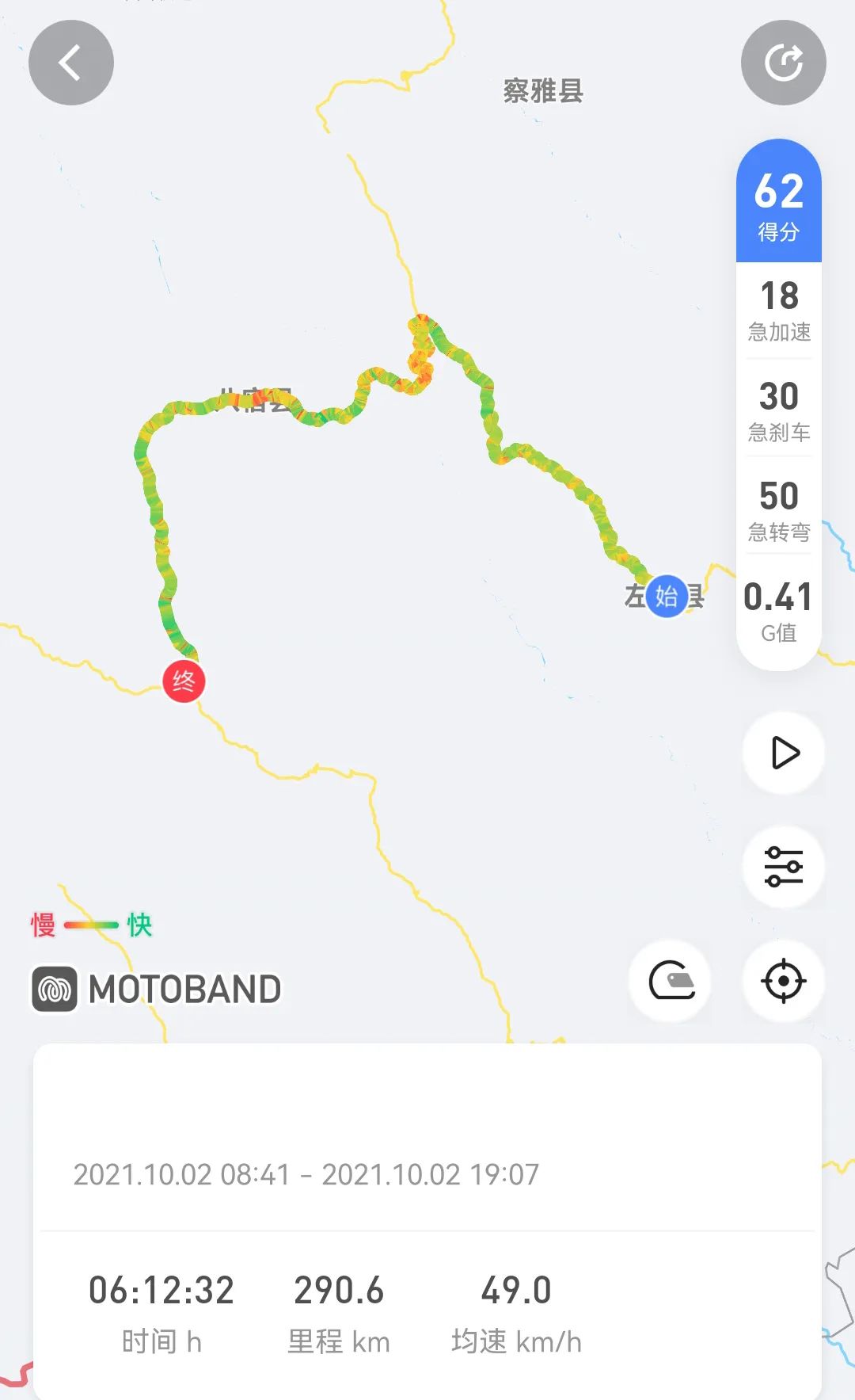
▼October 2, 2021, Zuogong-Ranwu, sunny. The east square of the county seat is very large and can be used for camping.

▼The sunshine has just entered the county

▼Leave Zuogong along the Yuqu

▼

▼

▼

▼The biggest feature of this canyon is the mountains and rivers. The peaks are colorful and the emerald-like river flows at the foot of the mountains.

▼

▼

▼Bangda, 4,300 meters above sea level, is the intersection of the Sichuan-Tibet Southern Line and the Northern Line. However, it is a place that is often ignored and is not even marked on some maps.

▼This used to be the only place where the famous "Tea Horse Road" must pass. There is a branch road leading north to Qamdo on the northern Sichuan-Tibet line.

▼

▼Nujiang Mountain is also known as Yela Mountain. Nujiang Mountain is the last and largest natural barrier in the Hengduan Mountains. It is located at the junction of the Hengduan Mountains and the Qinghai-Tibet Plateau. It has frequent geological activities, and mudslides and large-scale landslides are very common.

▼

▼

▼

▼The cliffs outside the curve have witnessed many accidents, and there is no room for mistakes when going down the mountain.

▼

▼

▼The Nu River has 72 turns, steep slopes and dangerous roads. It is known as "Ninety-nine Turns Back", Yela Mountain's "108 Turns", and "Sichuan-Tibet 99 Turns". According to some statistics, there are actually more than 130 turns.

▼318 is the most difficult mountain to climb. Only part of the seventy-two turns can be seen from the observation deck, and more turns are connected to other mountains.

▼

▼

▼

▼

▼The natural viewing platform of the Nujiang Grand Canyon is closed for construction. The rocks extending into the river are the best perspective for photographing the Grand Canyon.

▼

▼

▼The Nujiang Bridge is known as the throat of the Sichuan-Tibet Line due to its dangerous terrain. Photography is prohibited nearby to prevent damage.

▼The pier next to the bridge is in memory of the road construction soldier. The concrete of the bridge pier still wraps the body of this soldier. When the Nujiang Bridge was built, the soldier observed the effect of cement pouring and accidentally fell into the cement of the bridge pier. He was discovered too late. . In order to build the Nujiang Bridge, a platoon of 18 soldiers all sacrificed their lives. In memory of the martyrs, you will always be remembered by future generations.

▼

▼Crossing the Nujiang Bridge is a flying rock area and landslide area. There are rubbles everywhere. Serious landslides have occurred recently.

▼

▼

▼

▼Basu County, with a lower altitude, is hit by a heat wave

▼

▼

▼

▼

▼Large slope, gravel falling all year round

▼

▼The Anjiula Pass is a bit surprising. Unlike the passes of many famous mountains and rivers, which are generally steep and undulating with thousands of cliffs, the Anjiula Pass is surprisingly gentle.

▼

▼This seemingly inconspicuous Anjula Pass, which belongs to the Bossula Mountains, is the watershed between the Nu River and the Brahmaputra River.

▼

▼

▼After crossing the pass, you will enter the Yarlung Zangbo River Basin from the Nu River Basin where legends and myths grow.

▼The moment the snow-capped mountains come into view, we are about to arrive at Ranwuzhen

▼

▼

▼

▼

▼Ranwuzhen, the end point of this 318 trip

▼Camping in the southern grasslands, RV and self-driving travelers have set up campsites. It is a rare opportunity to meet close friends. It is quite pleasant for everyone to watch the stars, drink tea and chat together.

▼

▼
