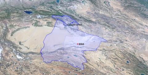
Xinjiang is very large, accounting for one-sixth of China's land area. It is the largest provincial-level administrative region in China by land area. The Bayingolin Mongolian Autonomous Prefecture (referred to as Bazhou) accounts for even one-quarter of Xinjiang's administrative area. It has become the prefecture-level administrative region with the largest land area in the country. To put it more intuitively, it is larger than the four provinces of Jiangsu, Zhejiang, Fujian and Jiangxi combined. The gene of this huge area continues to be passed down, forming the county with the largest area in the country. ——Ruoqiang County.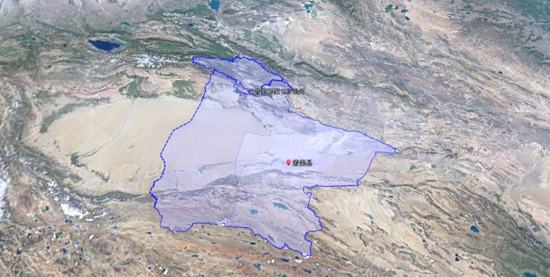
Looking at the map, Bazhou is located in the eastern part of the Tarim Basin, stretching from the Tianshan Mountains to the north, the Kunlun Mountains to the south, the Altun Mountains and the mysterious Lop Nur to the east, and half of the Taklimakan Desert to the west. It all belongs to Bazhou. Its huge area means that Xinjiang is famous for its The topography and natural landscapes can basically be found in Bazhou, such as snow-capped mountains, desert roads, Populus euphratica forests, Lop Nur, lakes, canyons and other scenic elements. In addition, historically, 11 of the thirty-six countries in the Western Regions are located in Bazhou today. The territory has left many cultural monuments such as Loulan, Milan, Qiemo Ancient City, Tiemenguan and so on.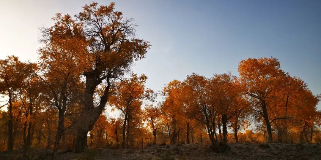
The first time I went to Bazhou was by taking the direct train from Urumqi to Korla. After departing from Urumqi, I headed east, changed locomotives at Daheyan Station in Turpan City, and then headed south. After crossing the Tianshan Mountains, I arrived at Korla, the capital city of Bazhou.If you take a train from northern Xinjiang to southern Xinjiang, this is currently the only railway, so the biggest feature is that it is not crowded with people. The side effect of not lacking people is that I can only buy a station ticket to experience this more than 5-hour journey. Fortunately, as long as you are willing to communicate, even if you are traveling alone, you will not be lonely along the way.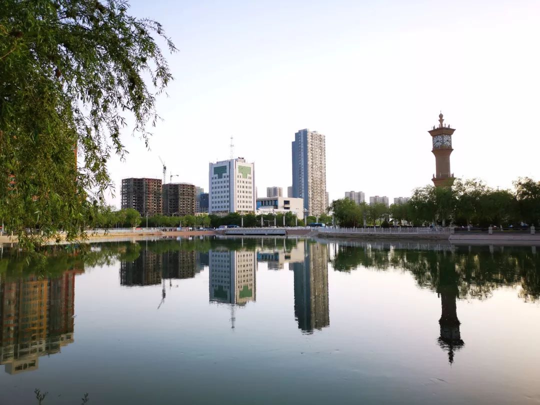
I chatted with a native Korla Han man standing next to me in the narrow carriage connection. He enthusiastically introduced me to the scenic spots in Korla. From the conversation, it was clear that he was also a person who liked to walk outdoors and was very familiar with the local scenery. There is a certain reserve of knowledge about history and culture.The car passed the Kaidu River in Yanqi. He said that this river was the prototype of the Liusha River that conquered the Sha Monk in "Journey to the West". Combined with the westward route of Xuanzang, the prototype of the Tang Monk, the Kaidu River was indeed the prototype river closest to the Liusha River. Compared to Turpan's Flaming Mountains, which relied on "Journey to the West" to create a successful tourism boom, the Kaidu River originating from the Tianshan Mountains is a bit unknown, but that does not prevent it from giving birth to the second largest grassland in China - Bayinbuluke Grassland, which became Yanqi The mother river, and in its downstream formed today's tourist resort of Bazhou - Bosten Lake. Yanqi is one of the oldest place names in Xinjiang. The ancient Yanqi Kingdom once governed most of southern Xinjiang in history, including today's Korla City area.
Bayingoleng is the transliteration of Mongolian, meaning a fertile river basin. The strange name of Kaidu River also comes from the transliteration of the Mongolian "Kaidu Gol". Gol means river in Mongolian. Guo Le and Guoleng actually have the same sound in literal translation. As for why the two words are written with "different characters and similar sounds", it may be related to the accent when the translation was formed in history, and the convention has become the current situation. The spring water is called "Brook". I don't need to tell you what the Chinese meaning of Bayinbuluke is now. The pronunciation of the word "spring" in Uighur is very similar to this, literally translated as "Bulake". There is a famous scenic spot in Qitai County called Jiangbulake, and there is a scenic spot in Ruoqiang County called "Yitunbulake" The place is rich in asbestos and borders Qinghai. It used to be Huatugou in Mangya City, Qinghai Province.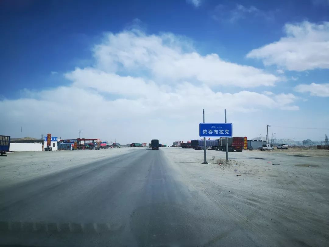
Speaking of which, let me talk about my views on the place name Korla. Information on the Internet says that it means "looking out" in Uighur. I have always found it baffling. Most of the formation of folk place names directly describes the local physical geography. If the situation is really difficult to describe, we will name it after several families or local surnames, such as Wangcun or Lizhuang, which are common in Chinese-speaking areas. Other ethnic groups have similar naming habits. I think they came up with the word "Looking". Ridiculous. Bazhou is a Mongolian autonomous prefecture, and place names are generally translated from Mongolian. Why does the state capital have a literal translation of Uyghur pronunciation? This is also one of the doubtful points, so my personal opinion is more inclined to the fact that "Korla" is actually "Gol". Don't you think that speaking Korla faster is the pronunciation of Gol?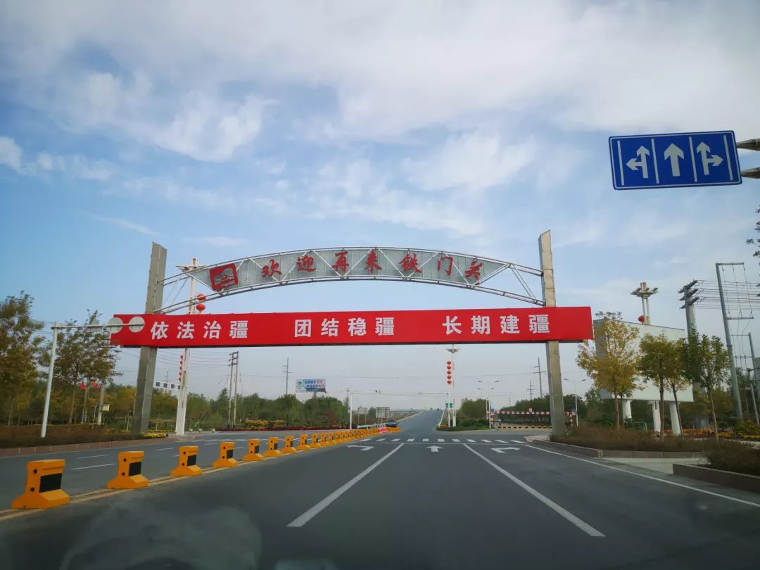
The men’s chat topics rarely involve family and personal affairs. Politics, economy, history and geography are eternal themes. I can feel his love and pride for this magical land as an ordinary Xinjiang person, and I can also feel his desire to speak on some sensitive topics. Again, the wheel of history is always moving forward. History books focus on major events and big figures, and will not use too much pen and ink to pay attention to ordinary people's living conditions and thoughts. However, no matter which dynasty or generation, stability and unity will lead to a better life. A better life is always the simplest pursuit of ordinary people.


