
Such notices can be seen everywhere at the foot of the mountain. Official data show that In the past 7 years, 219 tourists have been in distress in Cangshan Mountain. The reason is that many people don't pay enough attention to Cangshan Mountain, and climb it with the mentality of visiting a scenic spot. Imagine getting lost in the fog and low temperature, and walking at night, plus altitude sickness, it is indeed quite dangerous, so you must choose good weather and climb during the day, and be sure to descend before dark!
Therefore, it is necessary to write down some precautions before writing this guide:
1 There are many people who died or disappeared in Cangshan Mountain, far more than in the snowy mountains such as Haba and Siguniangsanfeng.
2 The weather in Cangshan Mountain is unpredictable. There is probably only one day in ten days suitable for climbing. Even if it is sunny and windy down the mountain, the mountain is still covered in clouds and mist.
▼It almost looks like this:

3 The top of the mountain is 4096 meters above sea level and has high altitude reflection.
4 There are cliffs, so be careful when walking.
5 When the altitude rises by 1000 meters, the temperature drops by 6℃. Coupled with the strong wind on the top of the mountain, the body temperature is 18℃ lower than that at the bottom of the mountain. (Under the mountain - Dali Ancient City is 2,000 meters above sea level)
6 Be sure to carry a GPS and plan your trajectory well. The biggest danger in Cangshan is getting lost.
7 Bring enough equipment and have the mentality of climbing a snow mountain to climb Cangshan Mountain.
8 Best to travel in groups.
The routes of Cangshan Mountain are very scattered on the Internet, and the local government has always maintained a conservative attitude towards mountaineering (if I were a manager, I would probably be strict), which makes it very difficult to climb to the top of Cangshan Mountain. This time, I found an effective route after actual testing. , and the path is obvious. If the weather permits, climbing to the summit is not a big problem. For your reference.
GPS track (downloadable):
HTTP://wuwuwu.foohohohohoh legs.com/trip/2124989/
▼The GPS track map of this actual measurement:

The starting point of the planned hiking route this time is at Santa Park. Due to the mountain closure, the entrance is guarded 24 hours a day, so it was changed to the entrance of Tianlong Babu City, but you need to buy a 35 yuan Yudai Road ticket (40 yuan for peak season tickets), which does not open until 8 am. And the distance is about 4 kilometers longer, which is an artificial increase in difficulty.
▼At the entrance of Tianlong Babu Film and Television City, Shangyu leads the way:

1 Go to Yudai Road first, then follow Yudai Road past Zhonghe Temple to Taoxi, which takes about 1.5 hours.
▼Some scenery on Yudai Road overlooking Erhai Lake:

2 The road after passing Taoxi belongs to the unopened area of the scenic spot. There will be a section of hanging wall mountain road afterwards, so be careful when walking.
▼Guabi Mountain Road, the cliff on the right is hundreds of meters deep:

3 After passing the Hangbi Mountain Road, tie two red ribbons to the tree on the left hand side and enter the jungle from here. The path is very obvious.
▼The top of the mountain can be seen on the mountain road, and the white tip is the destination:

4 It takes about 2 hours to walk on the dense forest road, and you will reach a relatively wide dirt road. Motorcycles and tractors can drive up this road. 200 meters ahead is the so-called "alpine toilet", and then on the right hand side of the road There is a long flight of steps leading up.
▼ is the step path as shown in the picture:

5 At the end of the step road is Yanyu Pavilion. On the left is Ximatan, and straight up is the road to the top.
▼The steps end here, you can reach the top by continuing forward:

▼The road from Yanyu Pavilion to the summit is beautiful:


I was still running cross-country all the way up the mountain when the altitude was less than 3,000 meters. When I was almost 4,000 meters, I took a break every ten steps. In the last 200 meters, I was completely exhausted. . . .
▼This is it. The top is right in front of you, but you can’t reach it:

6 After reaching the top, you can cross the mountain road to reach Ximatan Scenic Area. If it is too late here, it is recommended to take the cable car down the mountain. The exit is Tianlong Babu City.
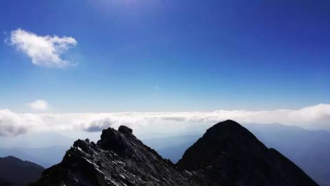
▼The scenery on the top of the mountain:


In fact, you can also take the cable car to Ximatan Scenic Area (there is no hiking route, you can only take the cable car). After arriving at the scenic area, there will be people guarding you, and you must strictly follow the wild road, so it is impossible to climb to the top from the scenic area.
▼Attached are some scenic spot prices

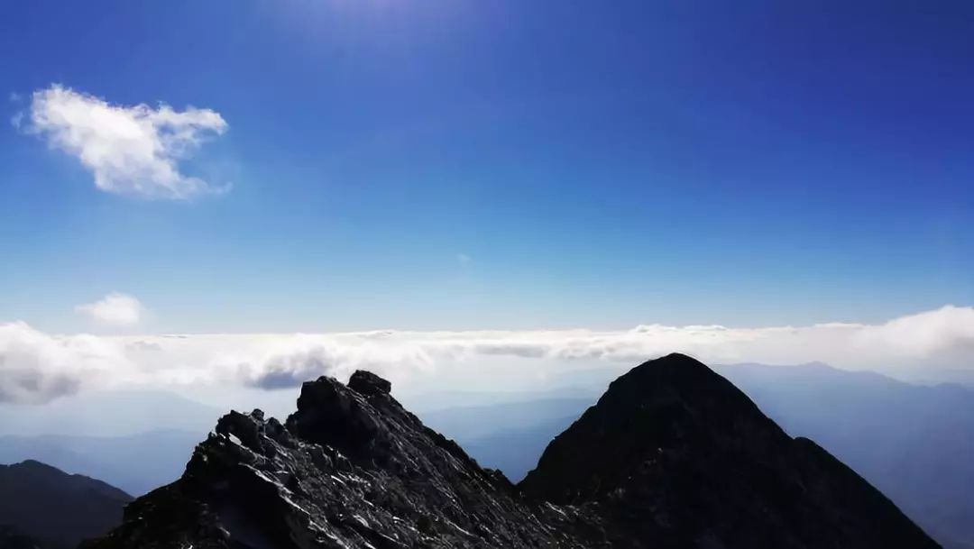
▼The last beautiful photo of the original poster:

