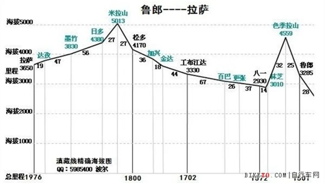
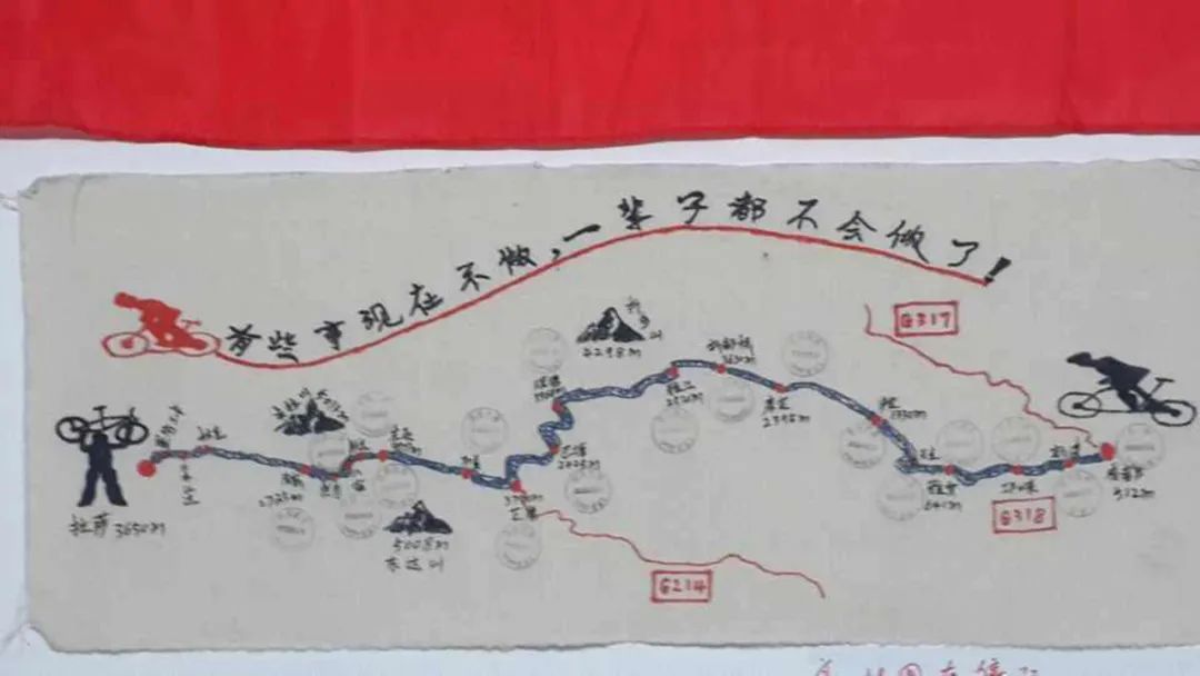
Yunnan-Tibet Line Cycling Travel Diary‖Lulang-Lhasa

Start riding the third and final elevation map. From this day on, the photos were lost, and there were only compressed and blurry photos downloaded from WeChat Moments. No matter what, records are the most important.
It’s just that without the photos, it’s more difficult to remember. What happened in those days is very blurry, and I can’t even remember which section of the road a certain riding scene occurred in my mind. For the last update on cycling, the audio selection is an original song by Guangxi rider "Insect on Land" .
Day22
Lulang→Sejila Mountain→August 1st→Xiao Ma’s Home
I had a toothache at night and didn't sleep well, so we set off from Lulang at around ten in the morning. We had to climb Sejila Mountain that day. If we were lucky, we could overlook Namjagbarwa Peak from the pass.
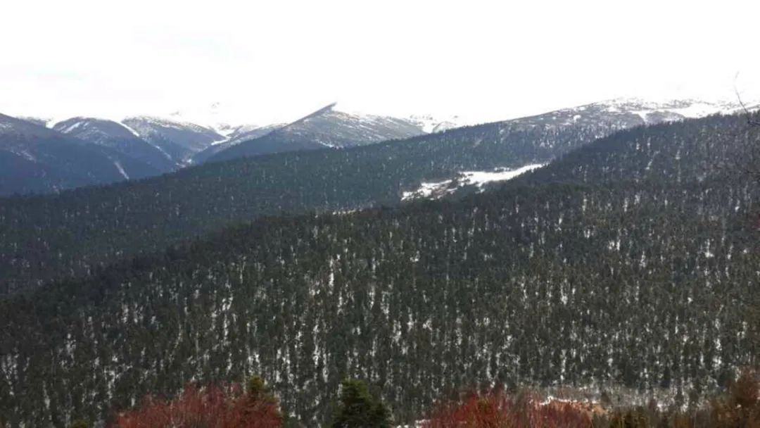
I saw two Tibetans with professional bows and arrows on the road. I couldn’t remember whether they were going hunting or practicing. After chatting for a few words, I continued moving forward. I passed the legendary Lulang Forest Sea, but I didn’t have much interest in it. I stopped to take pictures. Take a photo and leave.
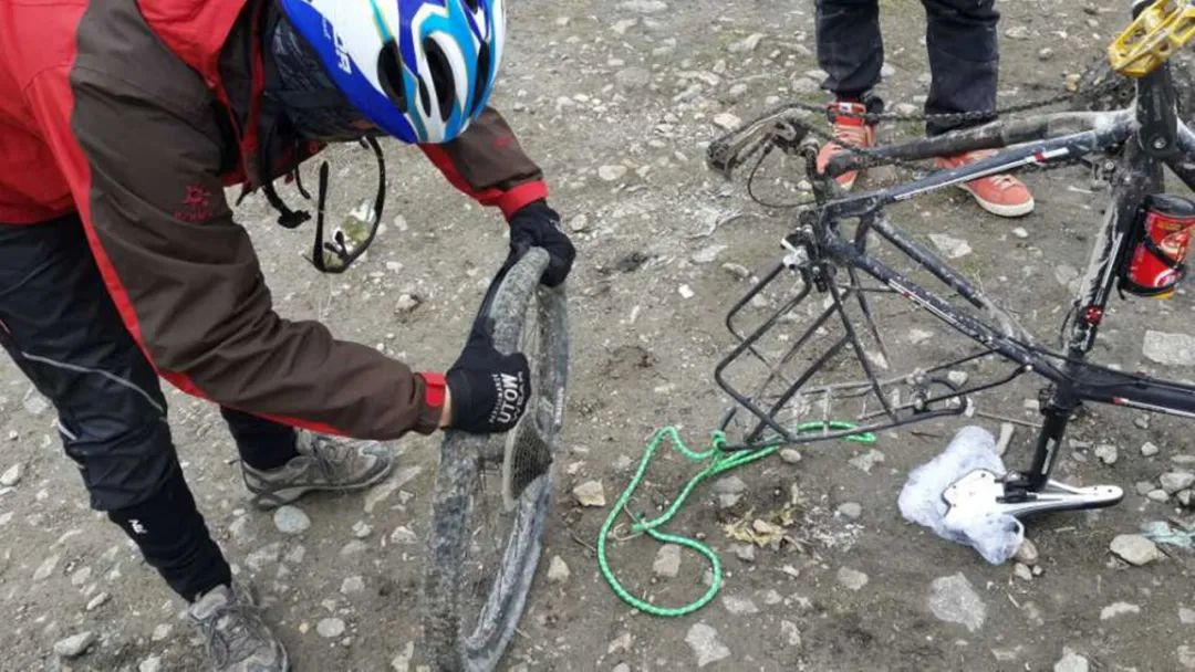
On the way up the hill, Brother Liu's car had a flat tire. This was the third time that Brother Liu's car had a flat tire. We arrived in Lhasa soon. My car had not had a flat tire so far. I had a small wish to reach Lhasa without a flat tire during the whole journey.
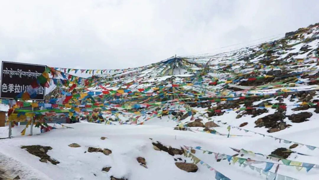
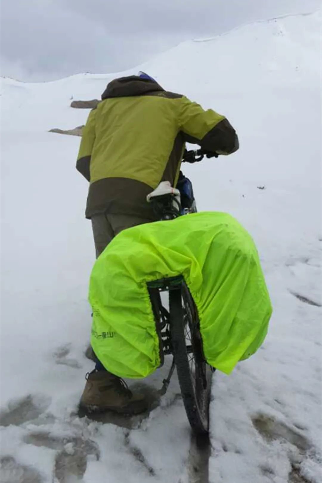
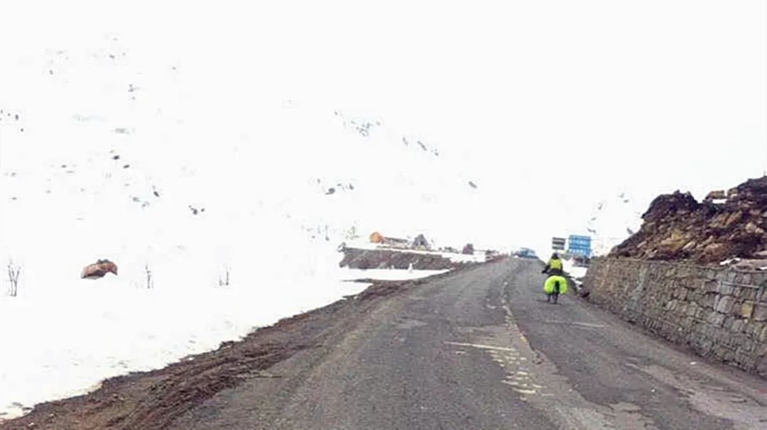
It’s snowing again, but we’ve already seen the pass, and there’s still 3 kilometers of climbing left. Climbing the pass at an altitude of 4559 meters is not very difficult.
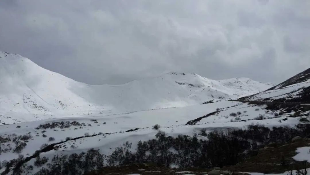
When we arrived at the pass, the weather was bad and it was still snowing lightly. It was a pity that we could not see Namjagbarwa. Namjagbarwa is also a dream of mine and I will definitely come again.
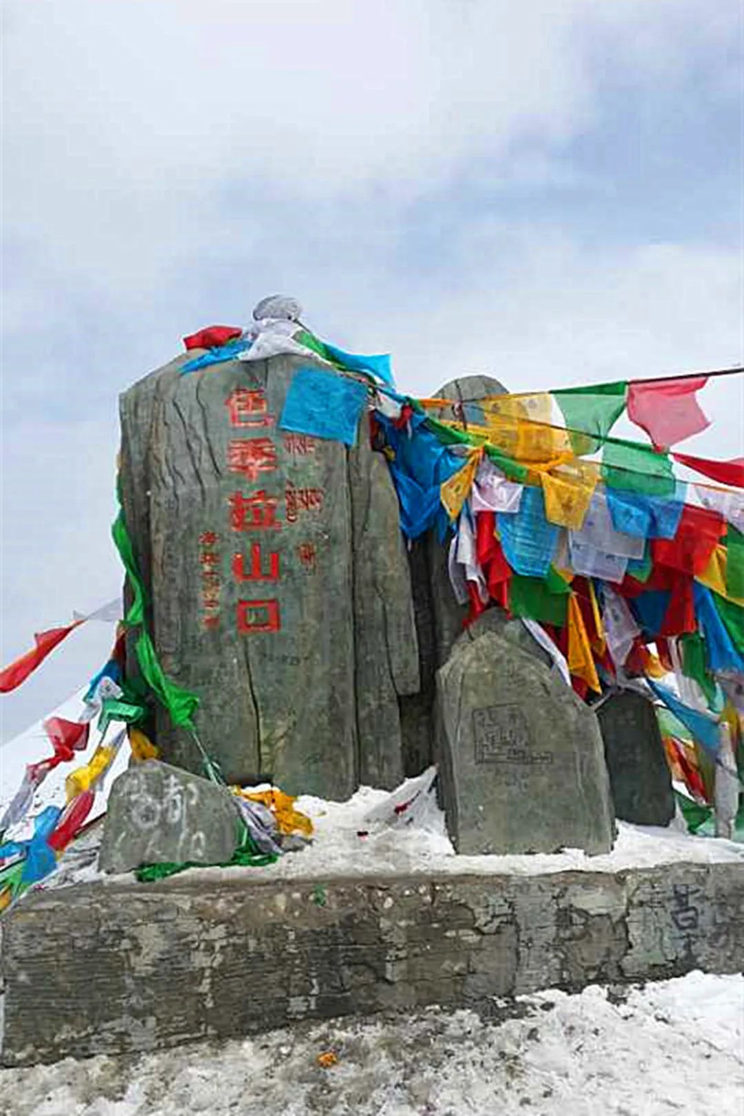
Sejila Mountain belongs to the Nyenchen Tanglha Mountains and is the watershed between the Niyang River Basin and the Parlung Zangbo River. Different from the scenery of azaleas blooming at the foot of the mountain, the top of the mountain is covered with snow and prayer flags flutter.
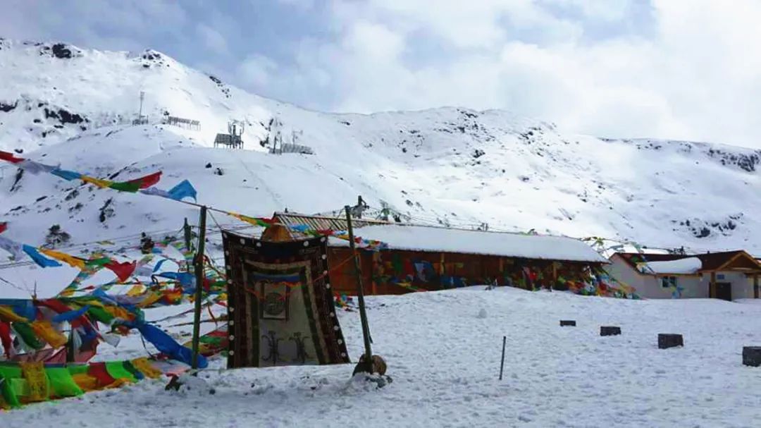
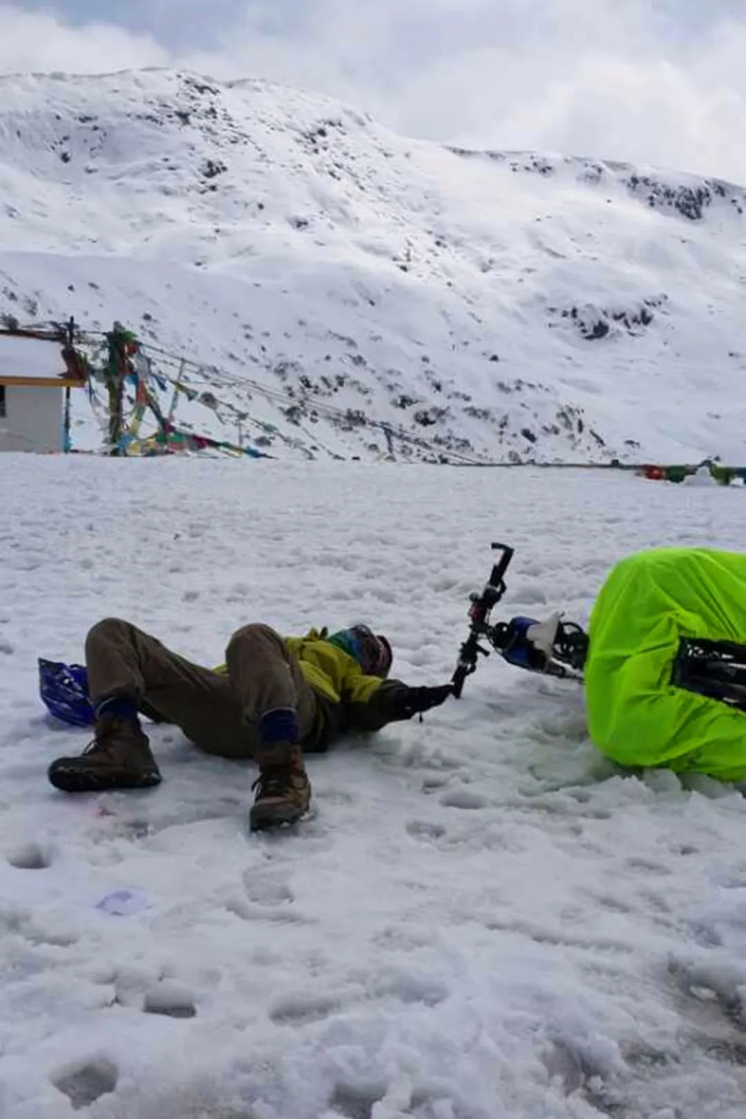
We stayed at the pass for a while, admiring the snowy scenery of the plateau and taking photos. The name of this photo is "Pose".
This is still a staged shot.
The weather was not very good. We went down the mountain and continued to Bayi. When we were 9 kilometers down, Xiaochun's tire blew out. It was very windy and snowy at that time, but we also saw Xiaochun's super efficient tire repair technology.
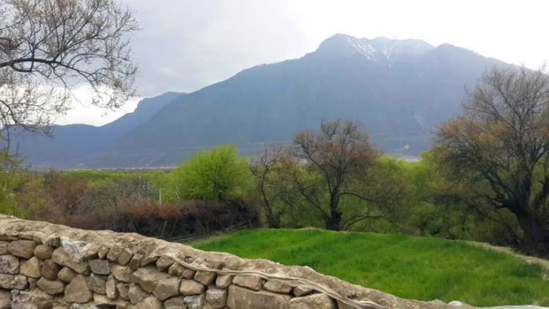
When we got down to the foot of the mountain, the weather started to get better.
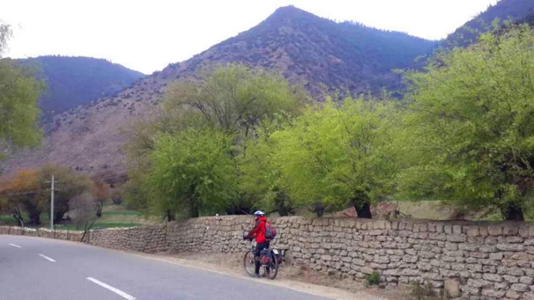
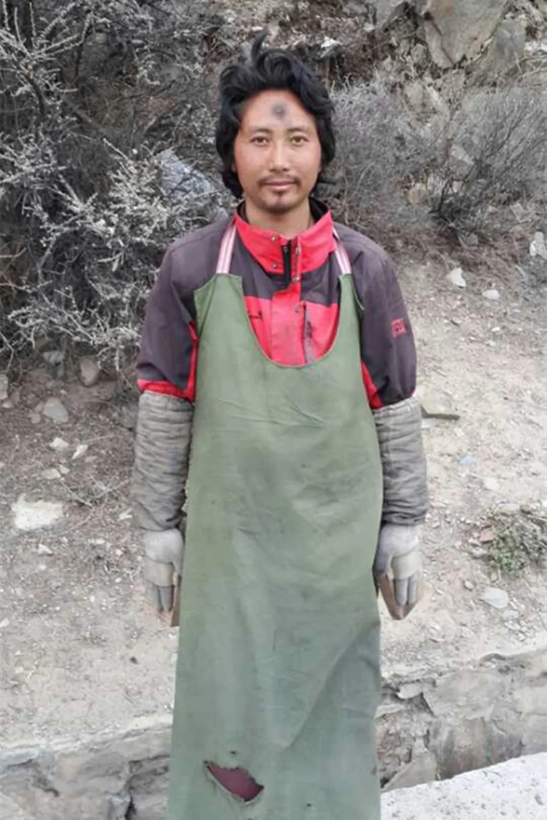
When approaching Linzhi Town, I was lucky enough to see two pilgrims. They watched quietly from a distance and did not dare to disturb them.
When they were resting, I went up to them and chatted with them for a while. The power of faith is really huge.
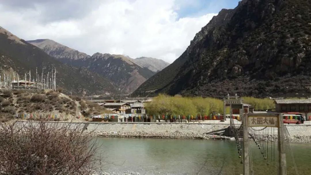
The ups and downs road leads to Bayi, and Xiao Ma's home is right at the entrance to the city. The environment is fresh and the three of us stayed here.
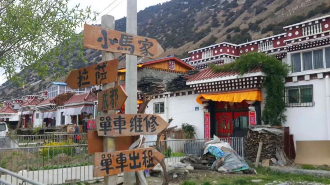
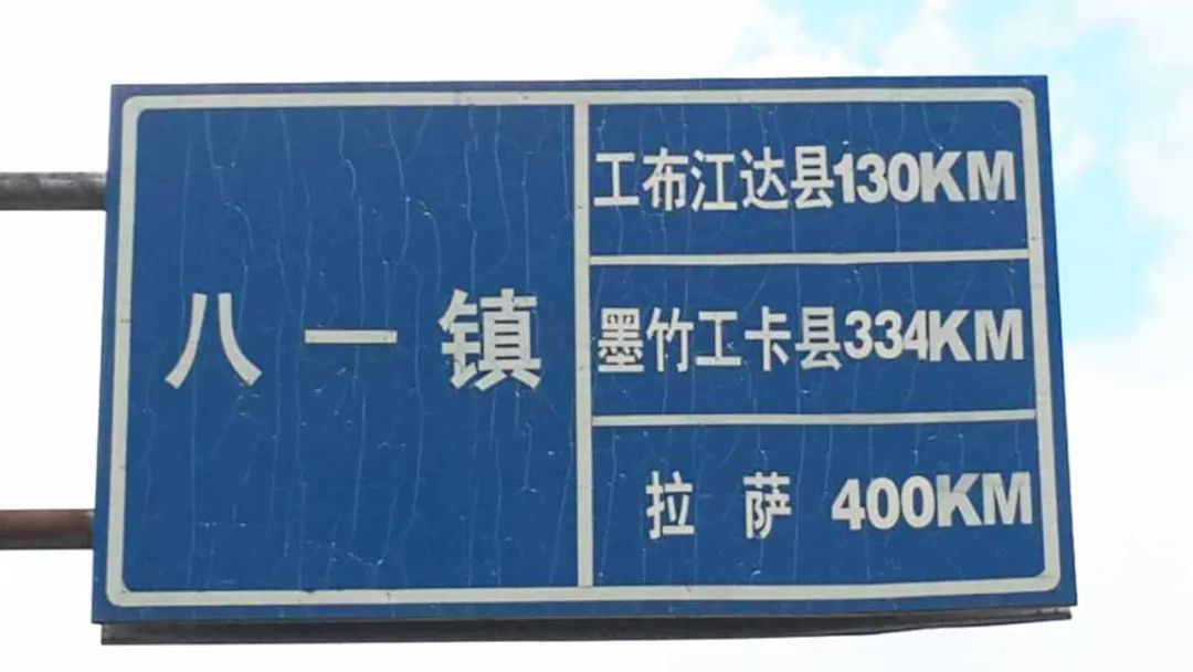
Bayi was the place where Tibet was peacefully liberated. Now it has developed into the second largest city in Tibet. It is very clean, but prices are a bit expensive. After settling in, the three of us rode to the old city to go shopping and eat, and then it was 130 kilometers to Gongbu Jiangda. .
Day23
August 1st→Gongbu Jiangda→Zhongyuan Youth Home
How far, ride as far as you can.
At the beginning, we passed through a section of forest, which was very shady and comfortable. There were many stalls selling fruit on the roadside.
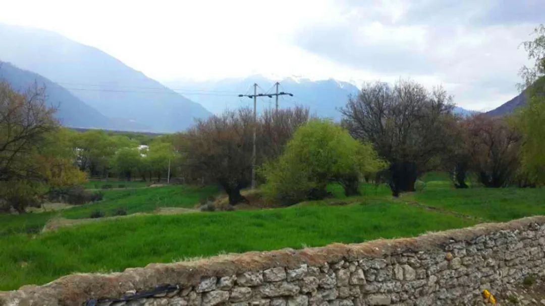
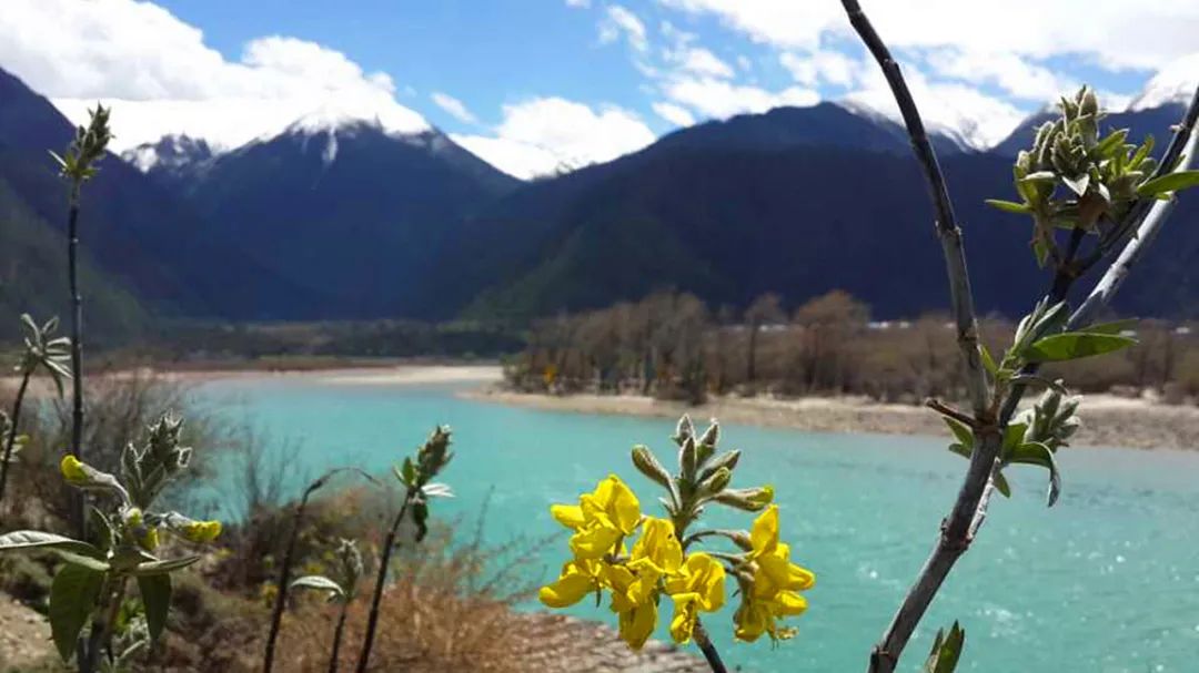
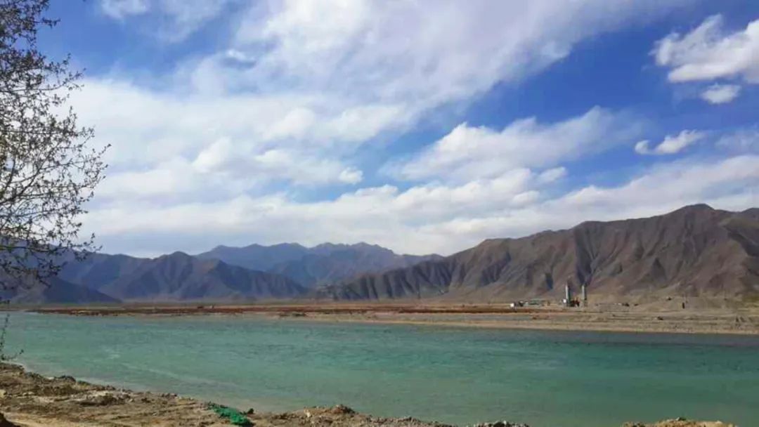
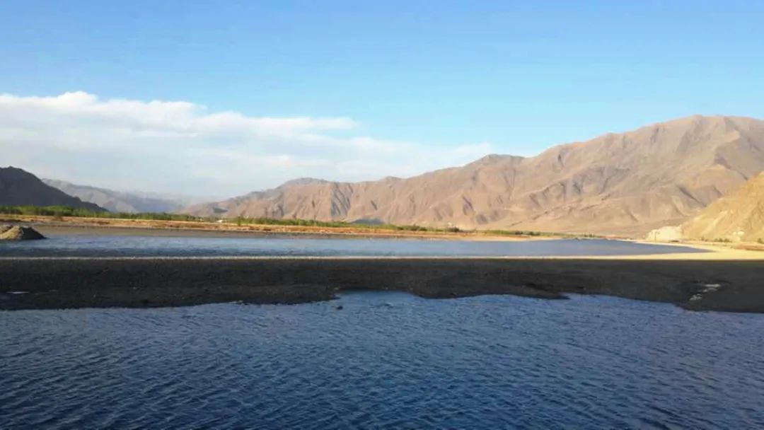
The scenery after that continued the style of the previous two days, so we took a total of more than a dozen photos today, and the one accompanying us was the Niyang River. Like the Parlung Zangbo River, the Niyang River is also a tributary of the Brahmaputra River.
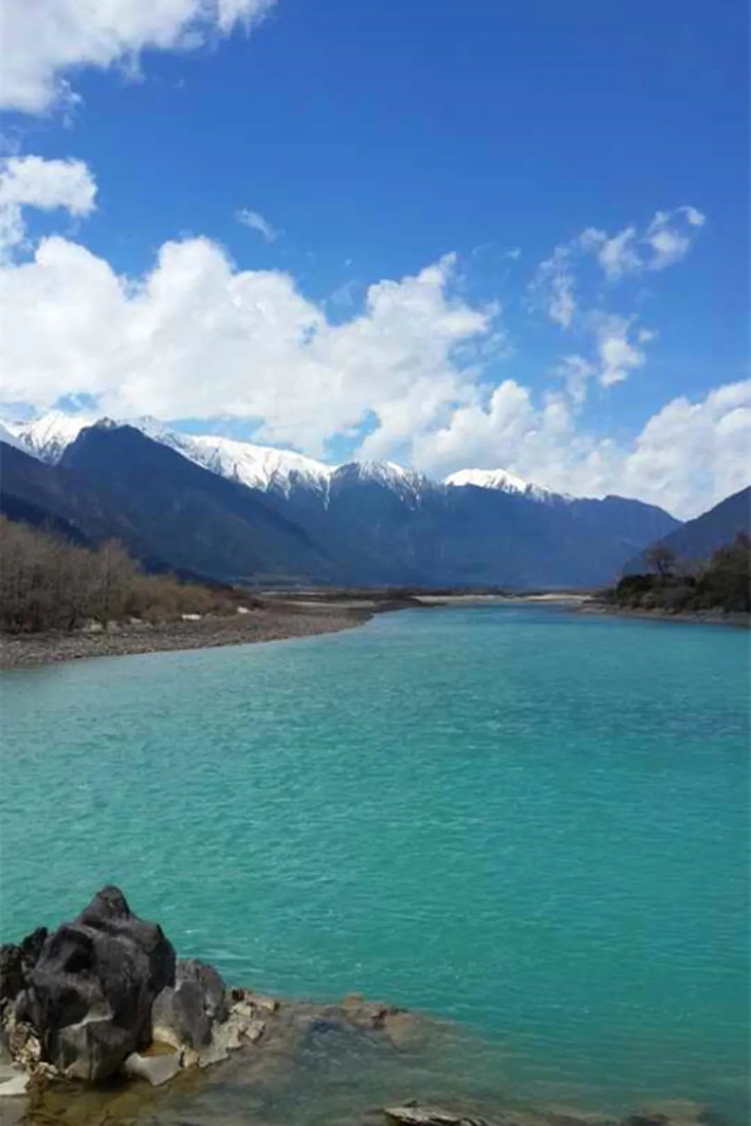
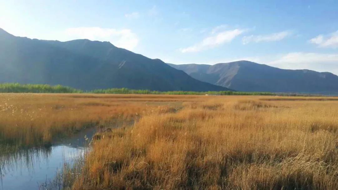
The Niyang River flows quietly around you. The water is very clean and appears transparent blue. There are many sandbars in the river, and trees grow directly in the water, giving it a wetland style.
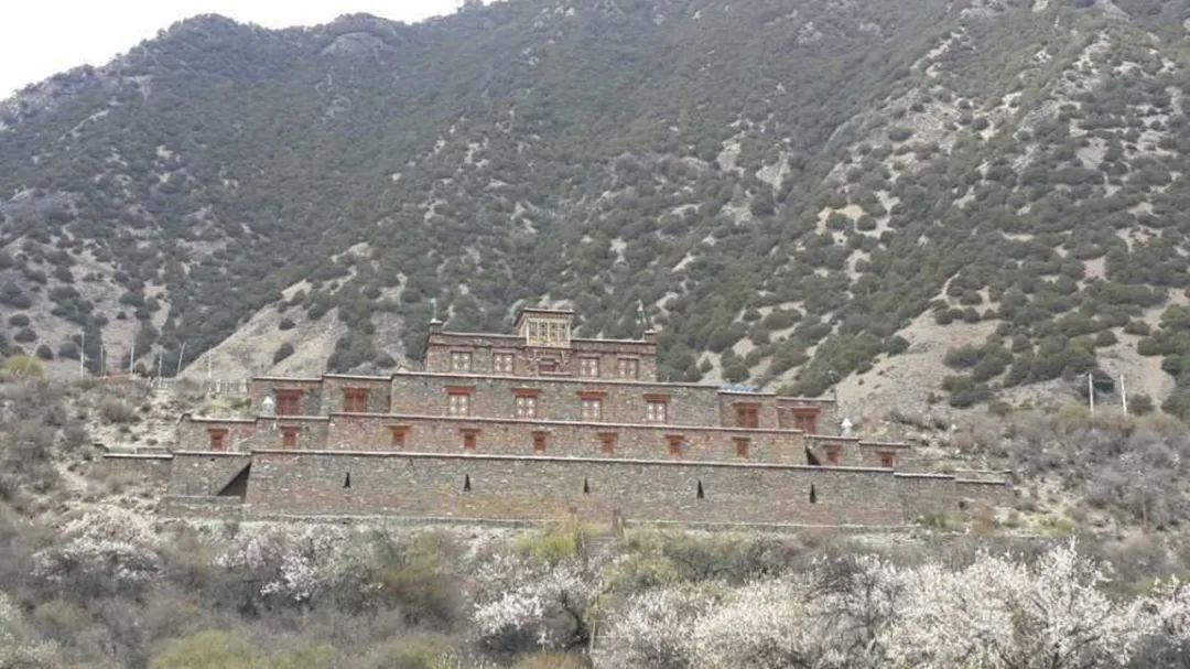
This area is where the Monba people live. The cows and pigs on the road turn a blind eye to the passing vehicles, as if the national highway is their territory. K4291 went to Baiba Town, had lunch here, and bought the cheapest bottle of Coke since entering Tibet. K4306 will pass by the thousand-year-old Gesar Camp.
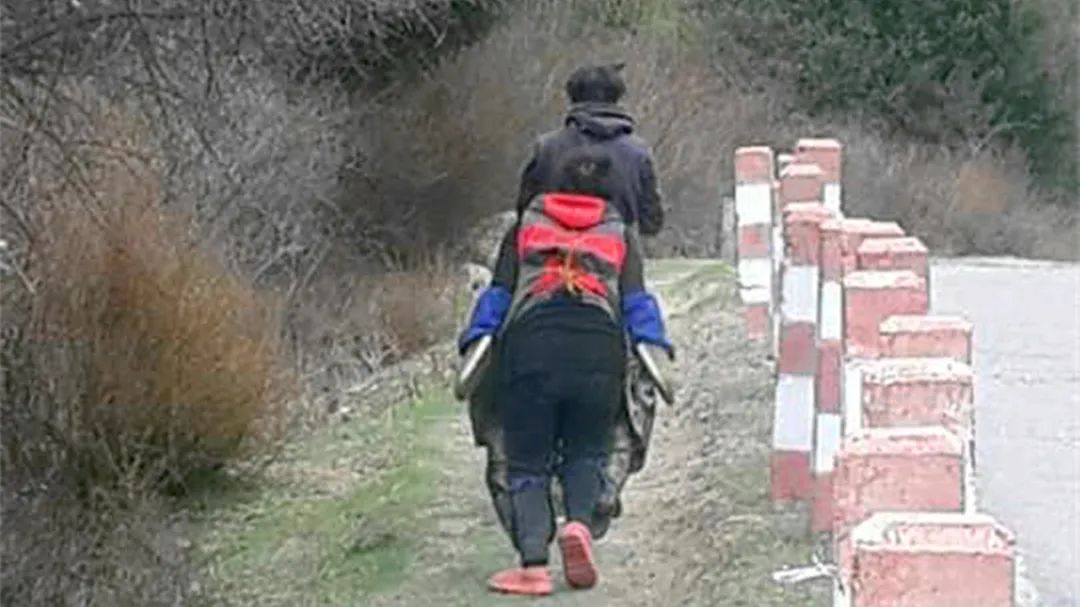
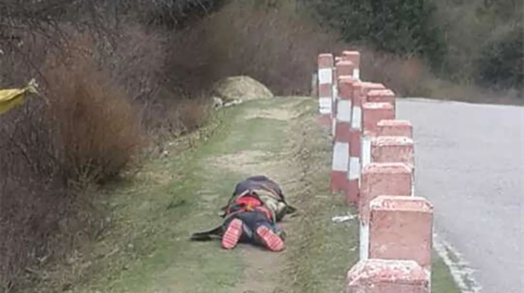
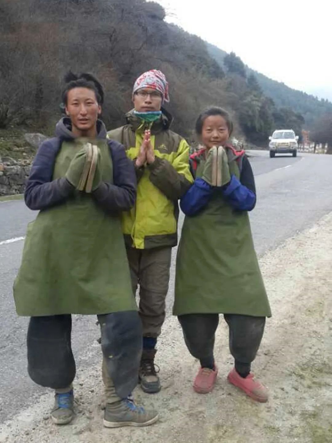
As we walked forward, probably closer to Lhasa, we saw more and more pilgrims. Seeing with my own eyes the devout pilgrimage of three steps and one prostrations, as well as briefly communicating with them, I can gain an inexplicable positive energy.
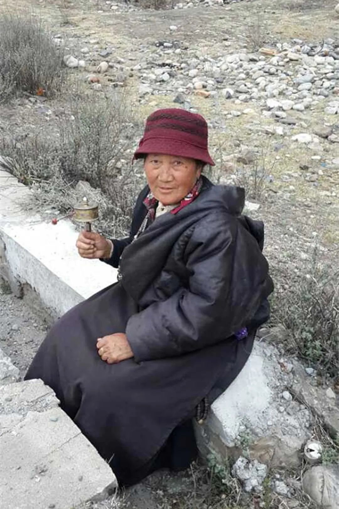
This pilgrim came from Ganzi, Sichuan. When I met him, he was less than 300 kilometers away from Lhasa, but he told me that it would take more than a month to reach Lhasa. Say goodbye and move on, wishing you all the best.
As we get closer and closer to Lhasa, we will slowly start to think about the journey from beginning to end.
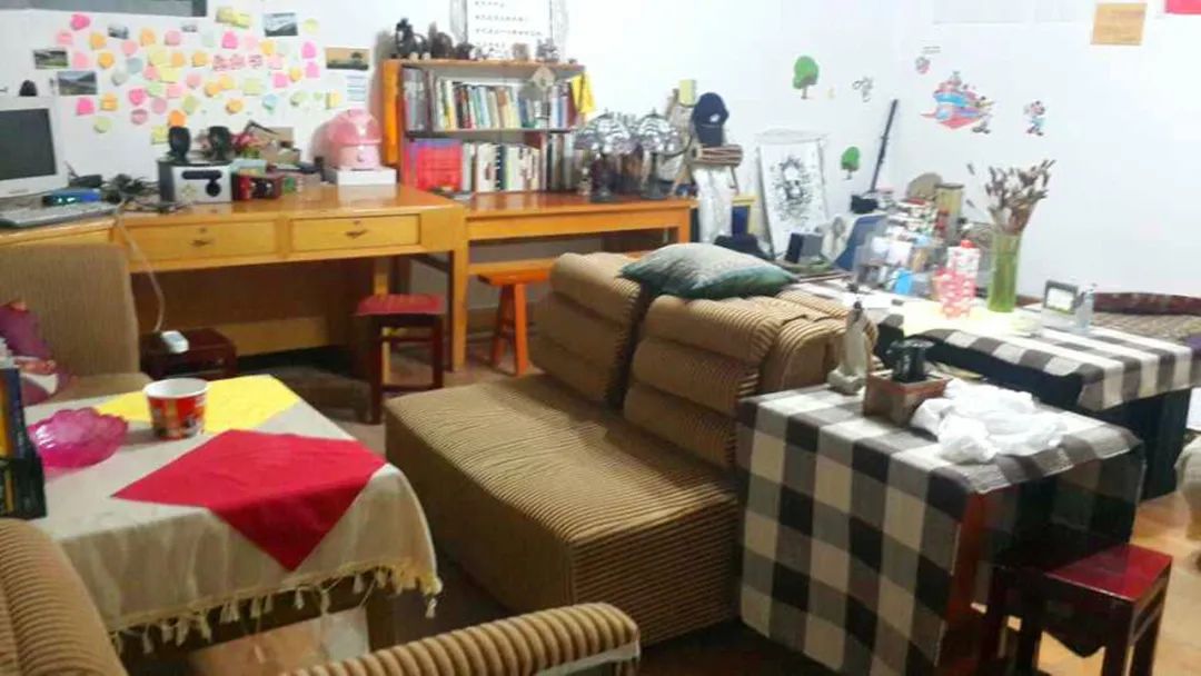
There are many reasons and purposes for this mind-numbing journey, but I think the last picture taken in the inn, although it already looks very tacky, can be part of the reason.
The 130km road today had many ups and downs, but not too much. It was basically a gentle uphill climb. The most important thing was that we were lucky enough not to encounter headwinds in the afternoon. I have no memory of what I did in Gongbujiangda at night or what else happened that day.
Day24
Gongbujiangda→Songdo
Taiyang disease is characterized by floating pulse, strong pain in the head and neck, and aversion to cold. Today’s 98-kilometer journey, with an elevation gain of more than 800 meters, wasn’t too difficult, but soon after we set off, I felt something was wrong with my body. The cold came at a really bad time, and I encountered a headwind at three o’clock in the afternoon. How could I collapse? have to.
If a bus asks me if I want to take a ride that day, I think I will seriously consider it. The scenery along the way had all appeared before, and because I was feeling dizzy, I only stopped three times to take photos.
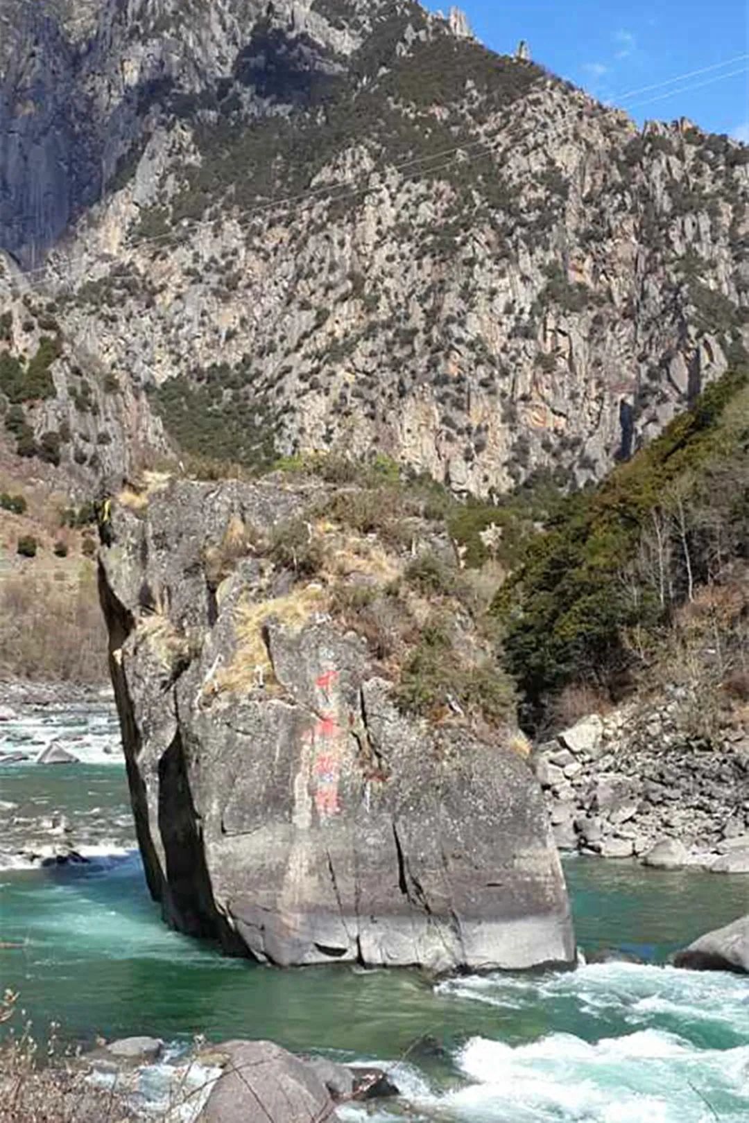
The first picture is of this big stone with the word "mainstay" written on it. It is a major attraction in Linzhi area, and many tourists are taking pictures. This stone is regarded as a sacred stone by local Tibetans. Legend has it that this huge stone is the seat used by "Gongse Demu" for self-cultivation and meditation, and there are oleanders planted on it. Many hadas were thrown on the big stone by believers to show their respect.
The second picture is the ancient city of Jokhang, a stop on the ancient Tea-Horse Road, where Sichuan and Guizhou tea and Tibetan horses were traded. No interest at all, means is only interested in Jokhang Temple.
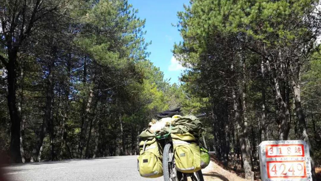
And there’s this last milestone that’s considered unlucky.
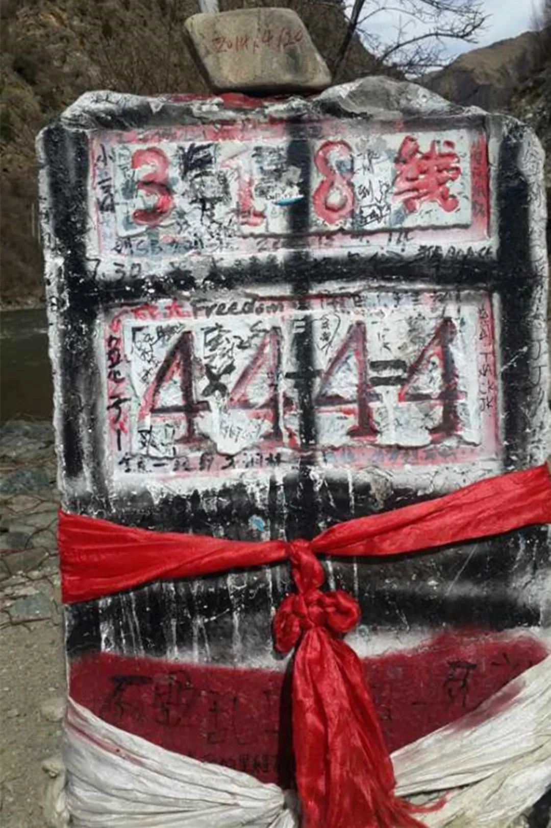
I could only stay in Songdo at night. In addition to the ridiculously high prices, there was no water for bathing, no pharmacies, and no clinics. It was still 176km away from Lhasa, and in the middle there was Mount Mira, the highest mountain on the Yunnan-Tibet line. I also I can only drink more water and use sweating method to treat it.
Day25
Songdo → Mila Mountain → Mozhu Gongkar → Lhasa → Story of Time
Everyone got up early in the morning, frantically trying to climb Mount Mila, which is 5,013m above sea level, in one day and sprint 176km to Lhasa. I wonder if they can succeed.

My cold has improved a lot, and I can control my climbing pace quite well. Heading west to Lhasa, the morning sunshine stretched the shadows very long.
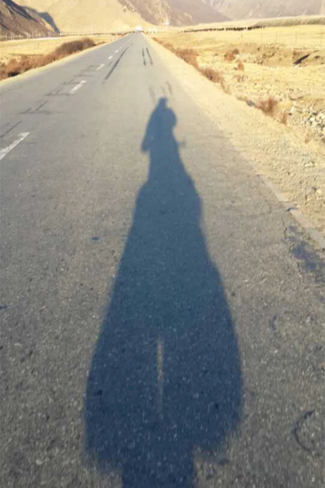
This is a photo that Brother Liu sent me in the past two days. Although it is very blurry, it is very meaningful. There are not many photos of myself along the way. It should be close to the pass by now.
After 28 kilometers of climbing to the Mira Pass, victory was declared in the first stage.
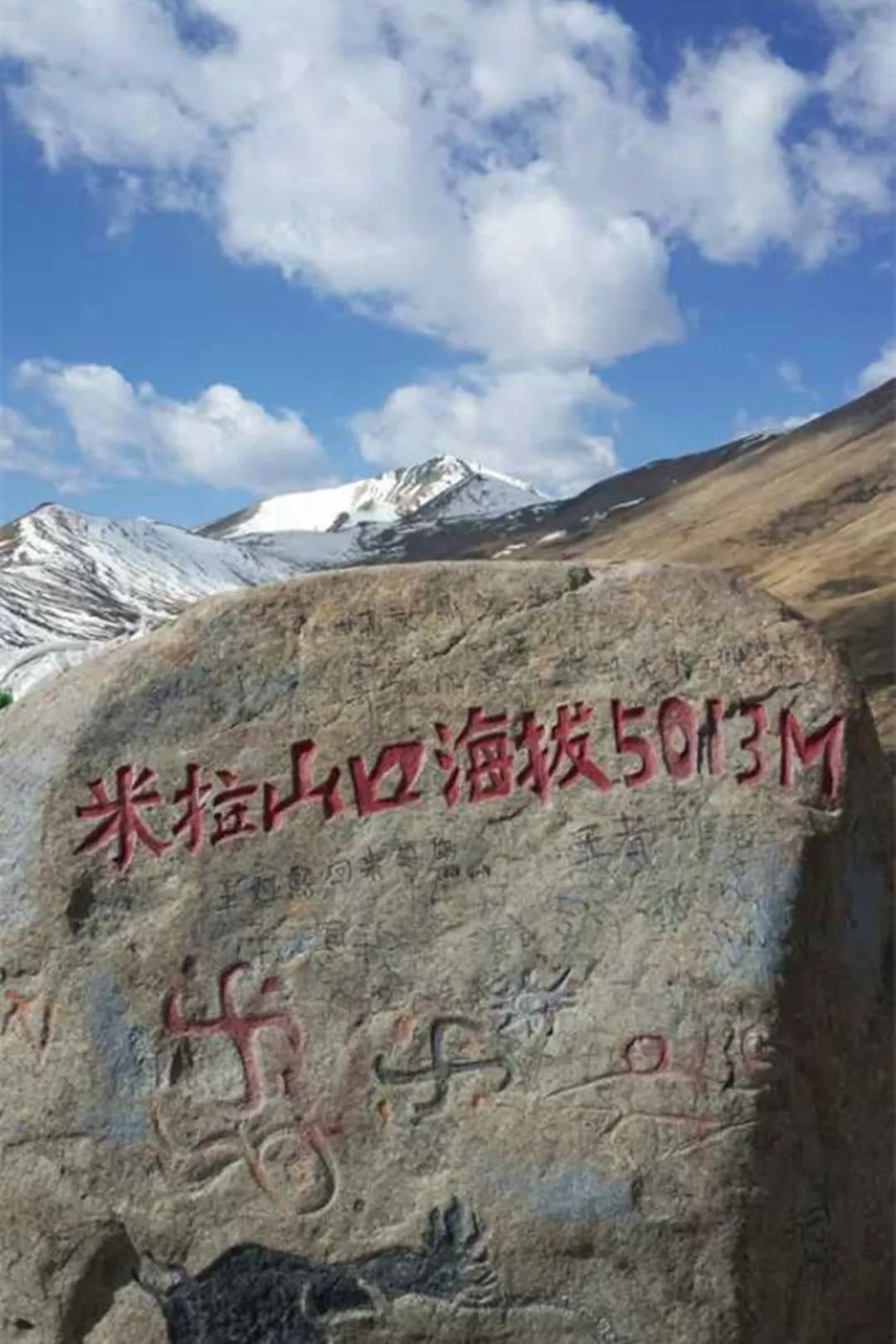
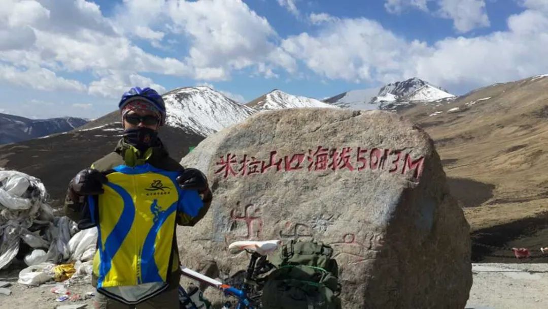
Perhaps because of its proximity to Lhasa, or perhaps because Mount Mira is the highest peak on the Sichuan-Tibet Highway, Mira Pass has become a scenic spot. Tourists of all modes of transportation gather here. A Tibetan young man selling specialties took a fancy to my cycling stereo and expressed his desire to buy it from me, but he was rejected.
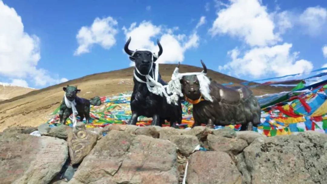
There are too many people here, and there are various poses for taking pictures. We will also become the targets of group photos, and our car will also be borrowed for taking pictures. I didn’t have a club flag, so I took our group uniform and took the time to take photos and leave.
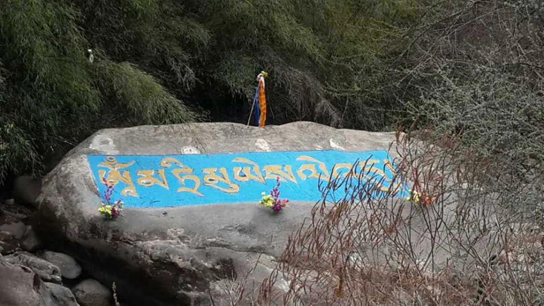
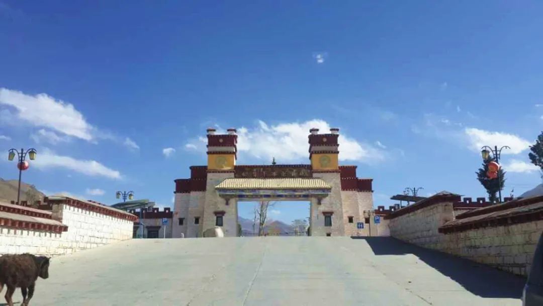
I rode a long way this day and can’t remember where I passed or what kind of landforms I passed. The words on this photo are a little blurry. If I remember correctly, this is the birthplace of Songtsen Gampo. Then we will go to Mozhugongka.
I remember there were many people along the way, all kinds of people, pilgrims, road builders, people walking with baskets on their backs, people waving to you, giving you a thumbs up, and high-fiving you.
Unfortunately, apart from the few photos I posted on Moments back then, I can’t remember much about my feelings about this day.
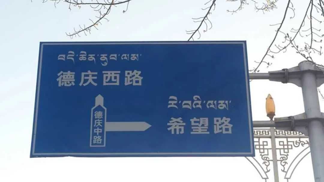
I probably drank three cans of Red Bull and ate a lot of Orion Pies that day. The headwind that came on time in the afternoon was really frustrating. When we were approaching Lhasa, we saw Deqing Road. I really like this road sign, it points directly to hope.
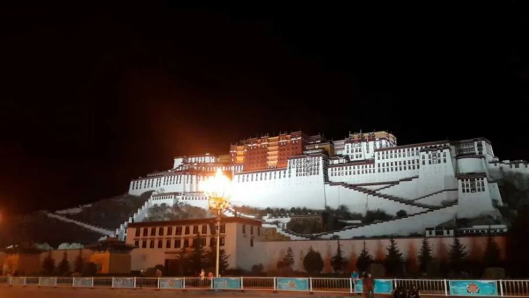
When I arrived in Lhasa around ten o'clock in the evening, the lights in the Potala Palace were still on and my car didn't have a puncture. Lhasa, Lhasa, Lhasa, we are here.
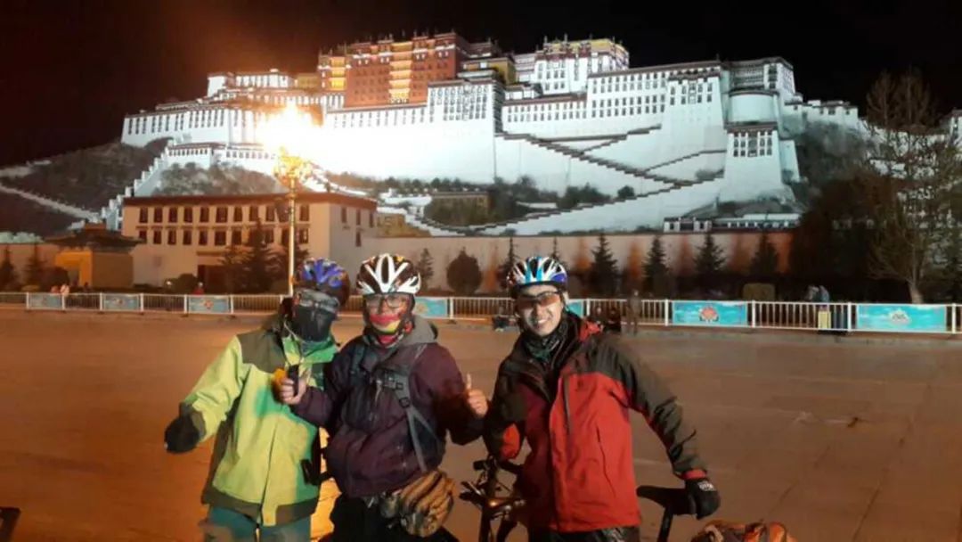
Abin, Brother Meng, and Brother Shen first went to Lhasa to book a room, and then picked us up at the Potala Palace. It felt very warm.
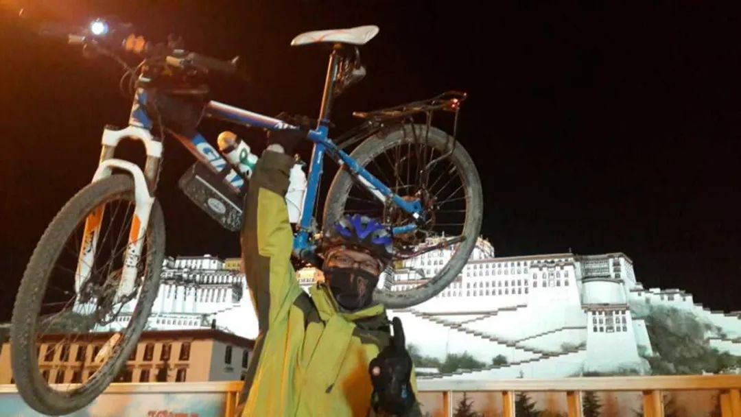
Unloading the panniers, lifting my car, and taking the photo I’d been looking forward to for nearly a month.
How far away forever is, we don’t know.
Where is the future? Let’s find it together.
Comments
No comments yet