Travel Guide to Hualien East Rift Valley National Scenic Area, Taiwan
Scenic spot introduction:
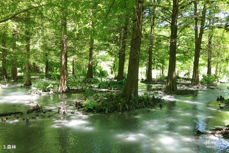
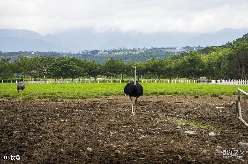
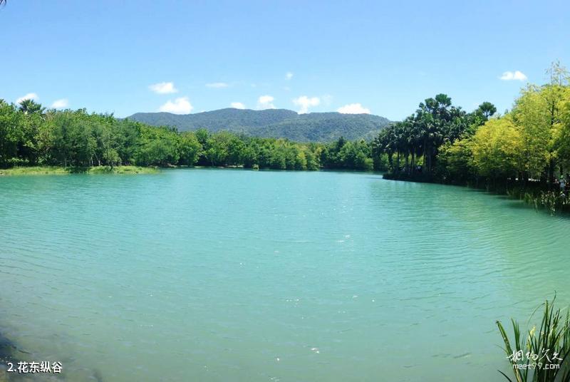
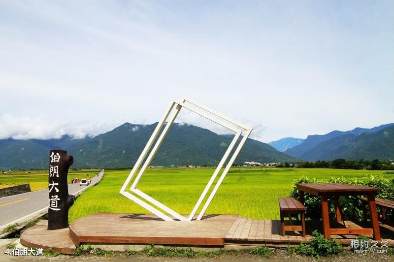
Hualien, Taiwan Hualien-Taitung Valley The biggest feature of the national scenic area is that you can experience the industry of eastern Taiwan and the customs of the plains and valleys. It is known as the "green corridor" between the green mountains and clear waters. The water system in the valley is dense. forest The countryside is full of life. From the golden spring Rapeseed Flower Sea From the glowing fireflies of Liyu Lake in May to the rice fields in midsummer, High-altitude flight competition, and then to the golden needle flowers all over the mountains in early autumn, as well as the tea gardens, hot springs, pasture The diverse tourist resources and recreational activities make this the best place for tourists and backpackers to experience Taiwan's mountains and rivers.Attractions distribution:
Hualien-Taitung Valley Located between Hualien and Taitung, the valley is about 150 kilometers long. Chulu area , Luye Yanping area , Guanshanhaiduan area, Chihshang Fuli area , Yuli Zhuoxi area , Ruisui Wanrong area, Guangfu Fenglin area, Shoufeng area, etc. are strung together, including Hualien River, Mugua River, Shoufeng River, Wanli River, Guangfu River, Matthew's Saddle Creek , Xiuguluan River, Xinwulu River, Beinan River and other major scenic spots. Hualien-Taitung Valley It is also the main gathering area for five of Taiwan's fourteen indigenous ethnic groups, where you can deeply experience the ethnic culture.Scenic spot features:
Leisure, sightseeing, cycling, photography, flower viewing, folk culture, pasture , hot springs, museums, forest ,flowersScenic spot map:
Transportation
Scenic spot location:
China > Taiwan Province > Hualien County > Ruisui Township
How to get there:
The Taitung Railway runs through the scenic area, and there are beautiful scenery along the railway. It can reach stations such as Shoufeng, Ruisui, and Luye. In addition, Provincial Highway No. 9 also runs through the north and south of the valley. You can take the mountain line bus between Hualien and Taitung to travel between the valleys and easily reach various tourist attractions.
Scenic area map:
3D real scene of scenic spot
Tickets
Ticket prices for Hualien-Taitung Valley:
free
Scenic area opening hours:
All day
Travel Tips
travelling guideline:
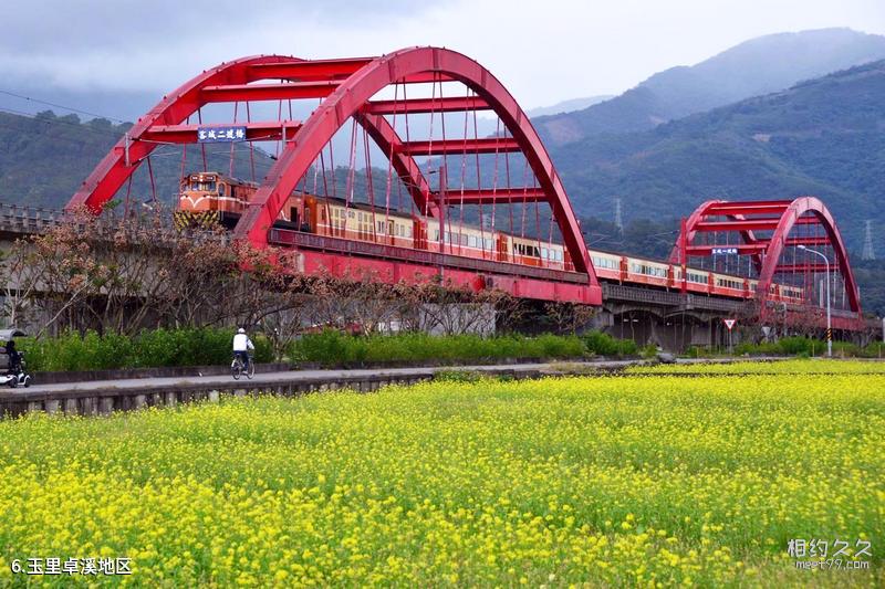
Hualien-Taitung Valley It is the best place for cycling. Hualien-Taitung Valley The route is based on Provincial Highway 9, starting from the Liyu Lake Trail, then going to Guangfu, Ruisui, and Yuli. In January and February every year, there are large yellow rapeseed flowers blooming on the roadside. The lush green fields and the layers of mountains are a beautiful sight. People with cycling experience can challenge the intermediate cycling route, which takes about 2 to 8 days. The daily mileage is determined according to personal physical strength. You can ride and play, or you can travel in a "big car carrying a small car" way.
Tour route:
Recommended cycling routes:
Day 1: Take the train to Hualien.
Day 2: Hualien-Hualien Bridge (195) Yuemei, Mizhan, Zhongxing → Hegang Bridge, Ruisui (lunch) → (195A) Chunri → (Taiwan Route 9) Antong Hot Springs, stay overnight. Cycling distance: 106 km, about 6 hours.
Day 3: Antong → Fuli → Chihshang → Chihshang Ring Canal Bike Path → Chihshang lunch → Dapu (County Road 197) Dianguang Bridge → Guanshan Town. Cycling distance is 52 kilometers and about 3 hours.
Best time to visit:
All seasons
Scenic spot map:
Gallery
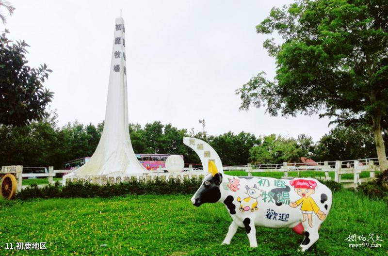
Taiwan Hualien East Rift Valley National Scenic Area Travel Guide - Chulu Area
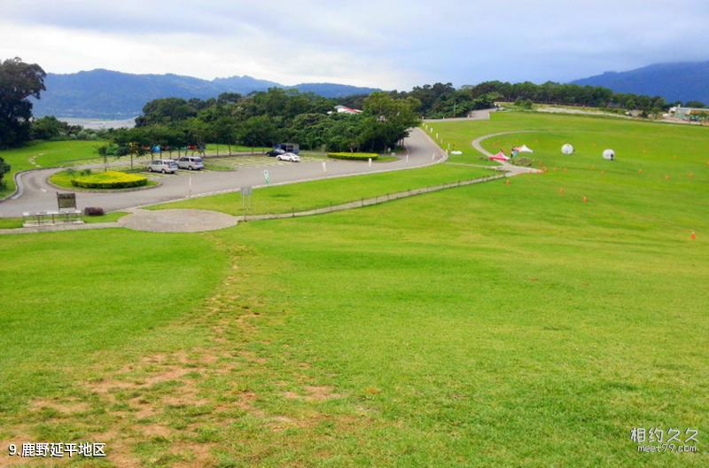
Taiwan Hualien East Rift Valley National Scenic Area Travel Guide - Luye Yanping Area
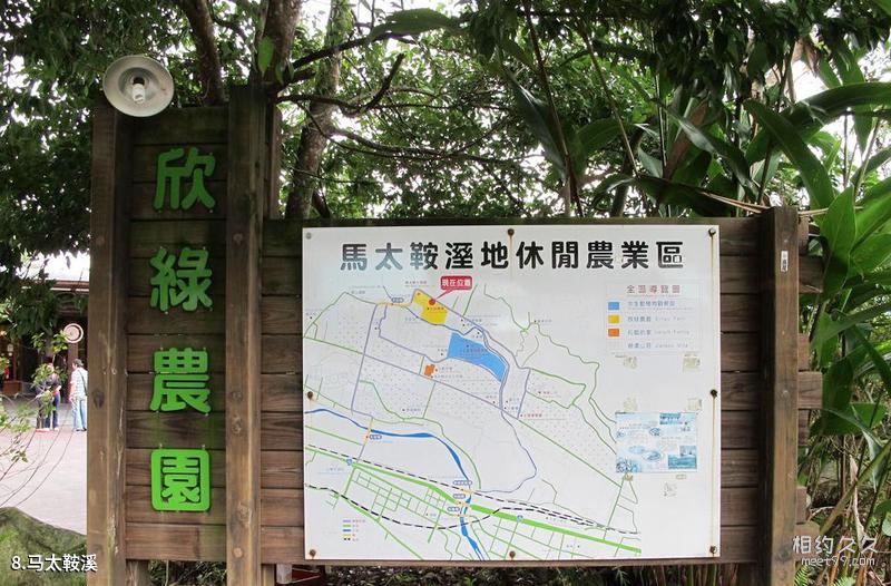
Travel guide to East Rift Valley National Scenic Area in Hualien, Taiwan - Ma Tai'an River
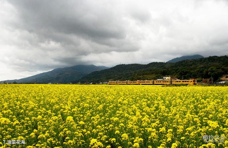
Taiwan Hualien East Rift Valley National Scenic Area Travel Guide - Rapeseed Flower Sea
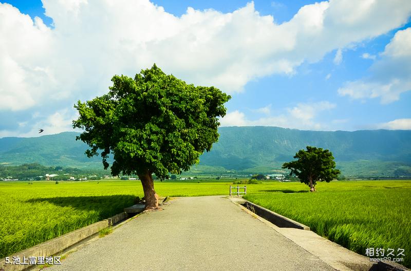
Taiwan Hualien East Rift Valley National Scenic Area Travel Guide - Chishang Fuli Area
Discover More
Comments
No comments yet