Big Sur travel guide
USA
Scenic spot introduction:
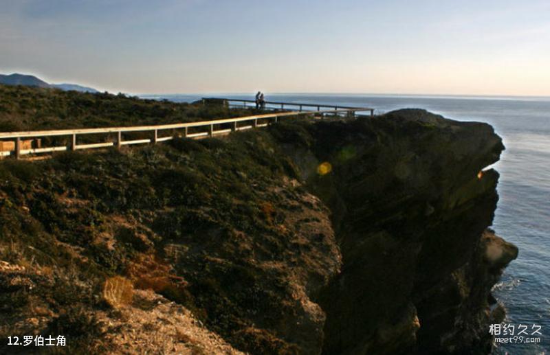
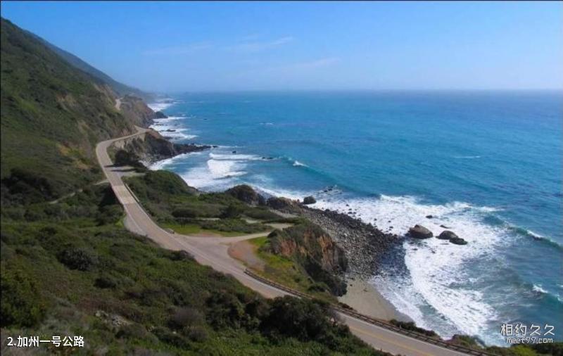
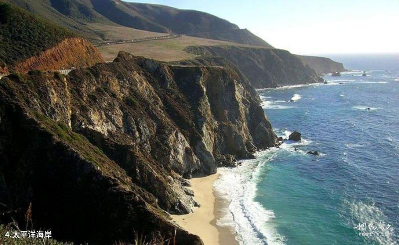
Big Sur is known as the most beautiful point of contact between land and sea in the world. Big Sur is the most beautiful scenery on California's Highway 1. Its tranquility, nature, freshness, otherworldliness, and isolation are all unique in the world. Its uniqueness lies in the coastal cliffs formed by the uncanny workmanship of nature, and The infinitely extending sapphire blue sea. This stretch of coastline is full of twists and turns, and the scenery is stunning and intoxicating.Attractions distribution:
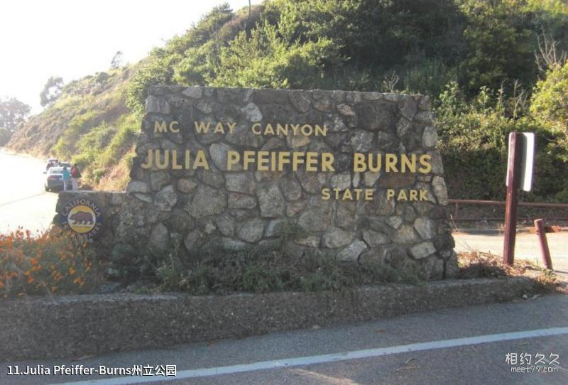
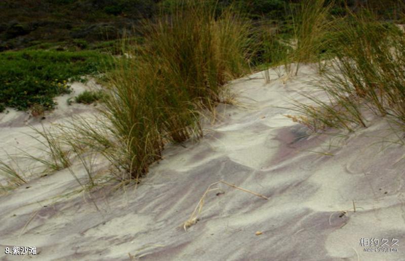
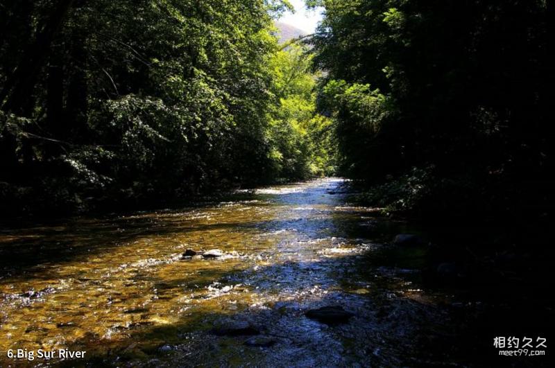
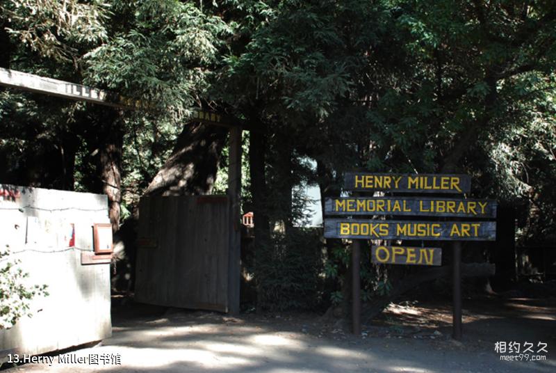
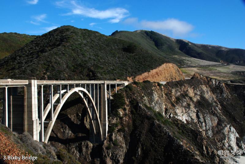
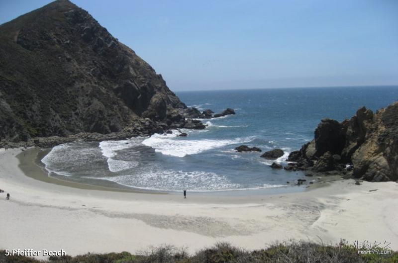
The Big Sur section of California's Highway 1 is picturesque and fascinating. Bixby Bridge is the landmark of Big Sur. Along the Pacific Coast, Big Sur's main attractions include Pfeiffer Beach and its unique purple sand beach, Big Sur River, Julia Pfeiffer-Burns State Park, Point Lobos, Herny Miller Library, etc.Scenic spot features:
Camping, photography, park, coast, beach, forestTransportation
Scenic spot location:
America>United States
How to get there:
Big Sur is located along Highway 1 in California, and you need to drive yourself.
Scenic area map:
Click to expand the scenic area map
Tickets
Big Sur ticket prices:
free
Scenic area opening hours:
Open all day
Travel Tips
Best time to visit:
Big Sur has mild and humid winters, with an average temperature of around 18°C, and pleasant summers, with an average temperature of around 24°C, with occasional high temperatures of 35°C. The best travel season is autumn.
Gallery
Discover More
Comments
No comments yet