Scenic spot introduction:
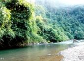
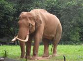
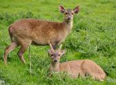
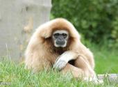
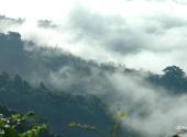
Yunnan Nangunhe National Nature Reserve is located in Lincang City, with a total area of 50,887 hectares. It starts from the top of Xiaomukong Mountain in Cangyuan County in the west, passes through Banhong Village to Sanjia Village in Gengma County, and starts from the fork of Dengeluo River in Cangyuan County in the east. It goes to the Stone Staircase in Gengma County, starting from Mengjiao Forest Farm in Cangyuan County in the south and ending at Sancha River in Gengma County in the north. The highest altitude is 2977 meters, the lowest altitude is 480 meters, and the relative height difference is 2497 meters. The mountain body of Nangunhe Reserve is the Hengduan Mountains, the southern extension of the Nujiang Mountain System. The mountain range runs east-west. Daqing Mountain, Huihan Mountain, Wokan Mountain and Manggao Mountain in the area constitute the main peak of the mountain range. It is high in the north and low in the south, forming a landform with crisscrossing valleys. The forest vegetation in the area is well preserved and there are many kinds of animals and plants. It is a tropical rainforest reserve.Scenic spot features:
photography, nature, leisure, forest, animals, plants, mountainsAttraction Address
Travel Guide
Best time to visit:
All seasons
Tourist Transportation
Scenic spot location:
China>Yunnan Province>Lincang City>Cangyuan Wa Autonomous County
How to get there:
Self-driving route:
Lincang Airport → G323 (old) → G214 → Xiaocang Line → Gengcang Line → Gengcang Secondary Highway → Nanli Line → Nangunhe Nature Reserve.
Scenic area map:
Click to expand the scenic area map
Attraction Tickets
Nangunhe ticket price:
none
Scenic area opening hours:
All day

