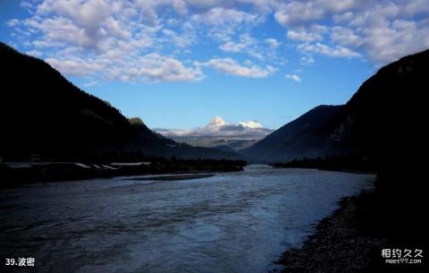
Introduction to Bomi: Bomi County is one of the commercial grain base counties in Tibet and one of the important producing areas for exporting fungi matsutake and morel. It is located in the southeast of the Tibet Autonomous Region. The marine glaciers in the territory are extremely developed, including the famous Kachin, Zepu, Ruoguo, Guxiang and other glaciers. Bomi, known as "Bowo" in ancient times, means ancestor in Tibetan. Bomi County is located in the eastern section of the Nyenchen Tanglha Mountains and the eastern end of the Himalayas. It is high in the north and low in the south, with continuous high mountains. The central part is the Parung Zangbo Valley and the Yigong Zangbo Valley, with dozens of tributaries and a drainage area of 4549.6 square kilometers. There are ten famous mountains in the territory, including Kaqing, Murucaofu, Sinma, Rimu, Guanxing, Luoji, Gongtang, Qumaer Kuile and Zahe. There are more than 80 moraine lakes such as Yigong Lake and Gucuo Lake. Among them, Yigong Lake ranks first among the more than 50 freshwater lakes in eastern Tibet, covering an area of 22 square kilometers. It was formed in 1900. The highest altitude within the territory is 6,648 meters, and the lowest 2001.4 meters above sea level, Zhamu Town, the county seat, is 2720 meters above sea level. Bomi is located on National Highway 318, which is basically the only way to enter Tibet from the Sichuan-Tibet line.
