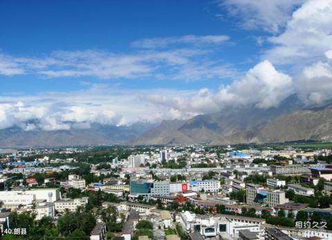
Introduction to Lang County: Lang County is located at the northern foothills of the Himalayas, in the middle and lower reaches of the Yarlung Zangbo River. It covers an area of 4,200 square kilometers and belongs to the Nyingchi Prefecture. It is 420 kilometers away from the capital Lhasa and 240 kilometers away from Bayi Town, where the Nyingchi Prefecture is located. The county is adjacent to Milin County in the east, Gacha County in Shannan Prefecture to the west, Longzi County to the south, and Gongbujiangda County to the north. It is located in the southeast of the Tibet Autonomous Region. Lang County has crisscrossing mountains, connected ravines, and complex and diverse terrain. It is a typical plateau and hilly landform type, with an average altitude of about 3,200 meters. Lang County belongs to the plateau temperate semi-humid season climate zone, with distinct dry and wet seasons and sufficient sunshine. The annual precipitation is about 600 mm, concentrated from May to September, with mostly night rain.
Transportation in Lang County:
(Highway) After the Linzhi-Qiongduojiang highway was built in 1965, it has initially solved the problem of inconvenient transportation in Lang County. The total length of the Nyingchi-Qiongduojiang highway is 86.64 kilometers. Jiangbei Highway was opened in 2005. The highway runs through 18 administrative villages in 2 towns, Dongga and Lang Town, Lang County. The highway grade is a fourth-grade gravel road.
(Wooden Boat in Lang County)
The Brahmaputra River divides Lang County into northern and southern halves. Local people can only cross the river in small wooden boats hollowed out from two big trees and spliced together. Or it is even more dangerous during the flood season.
(Horse riding in Lang County)
Lang County has a vast territory, high altitude, and poor conditions. Many villages have no roads. It is common for people to walk and ride horses.
