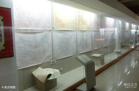
Introduction to old-fashioned maps: This library has a collection of more than 10,000 maps from different periods, regions, and materials. On display are: unified maps of all countries in the world, national maps, provincial maps, and city and county maps. Among them are ancient Chinese geological maps, Chinese mineral distribution maps, Chinese product maps, population distribution maps of the Republic of China, and Haining Yanguan ancient city maps, etc. From the perspective of practical application, it can be divided into aeronautical maps, educational maps, topographic maps, astronomical maps, transportation maps, and tourist maps. There is also the map "All Mountains and Rivers Are Red" published during the specific historical period of the Cultural Revolution. On this national map, 29 provinces, cities, autonomous regions, and municipalities are marked in red, except Taiwan, which is not marked in red, and so on.
