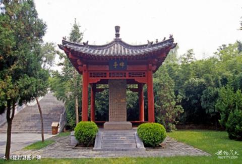
Introduction to the stele "Dengfeng County Map": The stele is 1.05 meters high, 0.86 meters wide, and 0.2 meters thick. The map shows the distribution of 80 cultural relics, historic sites and scenic spots in the Songshan area in the Ming Dynasty in detail and vividly, and depicts the mountains, rivers, roads, villages and towns in Dengfeng County and the names of the four geographical boundaries. Some people describe it as "one glance at this picture can include Dengfeng and travel to Zhongyue".
Attraction
