After a night of travel, I arrived in Dawei early in the morning, which is the capital of Tanintharyi Province. In 2010, the Myanmar government wanted to build this place into a special economic zone in Myanmar, but it did not look like a special zone, but more like a village.
Big car shop

Bus station, I change cars here. There is a two-hour stay

There are quite a few monks here


Continuing to ride the car, there are tropical rainforests on the roadside.


Occasionally I saw one or two cottages, all very primitive.


temple

Arrive at Myeik in the evening, which is the capital of the Myeik Islands. The Myeik Islands are the largest island group along the coast of Indochina on the east side of the Andaman Sea, including about 900 large and small islands.


After another night of driving, I finally arrived at Kawthaung, a city in the southeastern corner of Myanmar.
Kawthaung is located at the southernmost tip of mainland Myanmar, separated from Ranong, the northernmost point of Thailand's Andaman Sea, by only a wide strait. Kawthaung's main industry is trade with Thailand, followed by fishing, rubber and cashew nuts.
The car dropped me on the shore of the Kri Buri Strait. Across the strait is Thailand. It is located at one end of the Indian Ocean on the Kra Isthmus and is less than 50 kilometers away from the Pacific Ocean. If a canal is dug here, the route from China to the Middle East can be It was shortened by 1,500 kilometers. Unfortunately, the Thai government gave up this idea on national security grounds.

Kri Buri Strait


Then I walked south and came to the city.


seaside


immigration office

The main reason I came to Kawthaung was to visit this geographical landmark in the southernmost tip of Myanmar. It is located in the Bayintnaung Statue Garden in Kawthaung. Bayintnaung (Bayinnaung; January 16, 1516 - October 1581) March 10) was the third generation king of the Toungoo Dynasty of Myanmar (reigned from 1550 to 1581). He was brave and good at fighting and had many strategies. In 1550, various parts of Myanmar fell into separatist rule. Mang Yinglong conquered everywhere with his army of hundreds of battles. After reunifying Myanmar in four years, and later conquering Ava, Shan State and Chiang Mai, conquering Siam twice and capturing Vientiane, Mang Yinglong single-handedly created the most powerful empire in the history of Southeast Asia and was known as the "Conqueror of the Ten Directions".


This is the southernmost tip of Myanmar

Going further north, this is a fishing village


Artificial bird's nest

kid


monk

dog family

Gaodang is a very small city and can be visited in one or two hours. At noon I took the shuttle bus to Yangon.

After driving for a day and night, I got off the bus in Thanbyuzayat, a small town in the south of Mawlamyine. There is a Death Railway Museum on the roadside. It was established to commemorate the Thailand-Burma Railway during World War II.
Distribution map of attractions around Tanbiaozaya and Malammein


During World War II, in order to occupy Myanmar, Japan tried to build the Thailand-Burma Railway connecting Bangkok, Thailand, and Yangon, Myanmar. Due to the extremely poor working and living conditions along the railway, most of the workers involved in the project (mostly prisoners of war) ended up dead in all likelihood. This infamous railway is also known as the "Death Railway". The railway was basically abandoned after World War II, but the museum still preserves a small section of the railway relics built at that time and the locomotives at that time. The museum also displays many old photos recording the construction situation at that time.


locomotive


Then I took a tricycle to Thanbyuzayat War Cemetery, where many workers who died while building the railway were buried, most of them British.


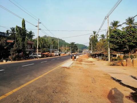
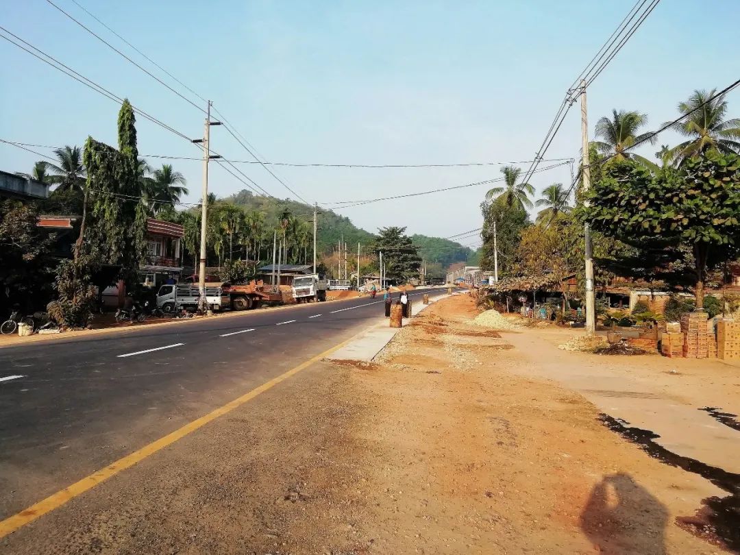
Danbiaozaya town street scene


Continue to get on the bus

Win Sein Reclining Buddha is located about 30 kilometers south of Mawlamyine. It was built in the valley by a senior monk. The Buddha statue is about 180 meters long and is one of the largest reclining Buddha statues in the world.


Inside the Reclining Buddha


All people in Myanmar believe in Buddhism and build temples and Buddha statues at any cost, but the statues inside actually do not have much artistic value.
Another reclining Buddha under construction is entirely a reinforced concrete structure.


Pagodas and statues outside the Reclining Buddha


Moulmein is the capital of Mon State in Myanmar and the third largest city in Myanmar. It is located on the east coast of Motama Bay in the Andaman Sea, at the confluence of the Salween River (lower reaches of the Nu River), Jiying River and Atlan River. Mawlamyine is located in an alluvial plain with the Iberau Mountains at its back. The climate is hot and humid, and there is a barrier of Billu Island to the southwest of the port, making it an excellent haven. In ancient times, Mawlamyine and Motama on the other side were seaports. From 1826 to 1852, Mawlamyine was the capital of the British colony and the largest seaport in Myanmar. It was later surpassed by Yangon.
Mawlamyine is a small town with a tropical style. It was once a mixed-race city and was influenced by different religions. There are still many colonial-era buildings in the city, and there are also many Buddhist temples and mosques. The natural scenery here is very beautiful. There are many attractions, and strolling along the Salween River under the sunset is also a pleasure.
Malammei attractions distribution map

After getting off the bus, I first came to the Kyaik Tan Lan pagoda. This pagoda was built in 875 AD. It contains the relics of the Buddha's hair and a relic from Sri Lanka given by a hermit from Thaton. Buddha Tooth Relic. You can climb the steps or take the elevator to Stupa Square, where you can not only overlook the Salween River, but also overlook the colonial prison built in the colonial period that is still in use today. It is also the best place to watch the city panorama and sunrise and sunset. one.


temple surrounding pagoda


The pagoda is on the mountain, with a corridor and elevator leading to the foot of the mountain.


Stand beside the Dharma and have a bird's eye view of the city and the Salween River


There is a temple next to the Jaitran Stupa, Mahar Myatmuni Buddha Image


nearby prison ruins

Then I walked to Binjiang Road on the edge of the Salween River. It was sunset, and locals were here to enjoy the scenery.


next to the mosque

The next morning I walked downtown to admire the colonial architecture. First I came to St. Matthew’s Church, which was the first Anglican church established by the British in Myanmar. Both the interior and exterior of the church appeared dilapidated and in urgent need of repairs.


Not far away is the Holy Family Cathedral of Mawlamyine


First Baptist Church, the first Baptist church in Myanmar, was built by the American missionary John Jordan, who is said to be the first person to translate the Bible into Burmese.

Then I came to the Mon Cultural Museum, which displays the Mon culture in the region, including inscriptions, wood carvings, pottery, clothing, musical instruments, etc. The door is not open yet.

clock tower in government square

monument

church

The fusion of multiple cultures fills the streets with various buildings.


Location map of Kawtang-Myeik-Tuva-Tanbiuzaya-Malmein
