Travel Guide to Boston Freedom Trail
Scenic spot introduction:
The Freedom Trail is a tourist route designed by the Boston City Council for tourists visiting Boston. It is about 4 kilometers long, with red bricks or red paint marking the route, connecting 16 Boston historical buildings and locations that reflect the colonial era and the War of Independence. The Freedom Trail was conceived and planned by a well-known local Boston journalist in 1951. He hoped to combine Boston's local attractions with guided trails, so that everyone can walk around Boston's city scenery and learn more about the origins of American history. For tourists, the Freedom Trail is the best starting point to get to know Boston.Attractions distribution:
The Freedom Trail starts at Boston Common The visitor center ends at the Charles River. Bunker Hill Monument There are 16 scenic spots in total, namely Boston Common , Massachusetts State Government , Park Street Church , Old Barn Cemetery , King's Chapel and King's Chapel Cemetery , Site of Boston's First Latin School and Old Town Hall , Old Corner Bookstore , Old South Hall , Old State House , Boston Massacre Site , Faneuil Hall and Quincy Market , Paul Revere House , Old North Church , Copper Hill Cemetery , USS Constitution , Bunker Hill Monument .Scenic spot features:
Photography, hiking, history, culture, historic sites, former residences of celebrities, historical sites, ancient buildingsTransportation
Scenic spot location:
America>United States>Boston
How to get there:
Take the Green Line downtown to Arlington Station, Boylston Station or Park Street Station.
Scenic area map:
Click to expand the scenic area map
Tickets
Freedom Trail Ticket Prices:
free
Scenic area opening hours:
The streets are open all day, and the opening hours of various indoor attractions are different. Boston Common You can go to the tourist service center to get various tourist information about the Freedom Trail.
Travel Tips
Best time to visit:
All seasons
Gallery
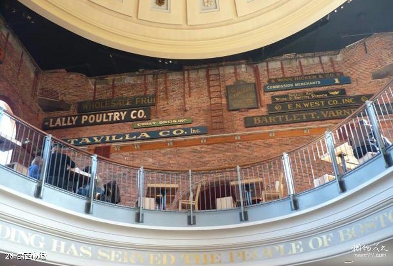
Boston Freedom Trail Travel Guide - Quincy Market

Travel Guide to the Freedom Trail in Boston, USA - Battleship USS Constitution
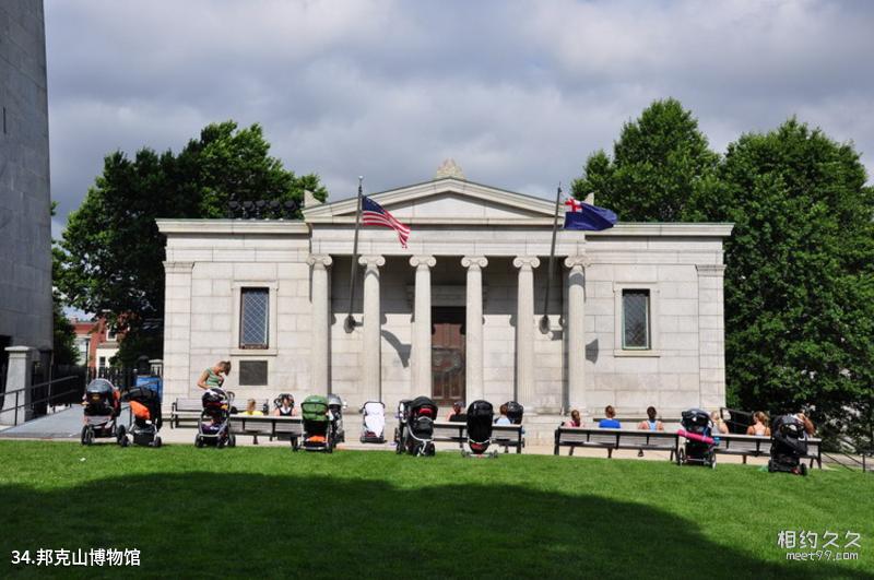
Boston Freedom Trail Travel Guide - Bunker Hill Museum
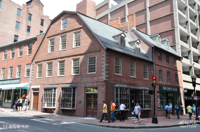
Boston Freedom Trail Travel Guide - Old Corner Bookstore
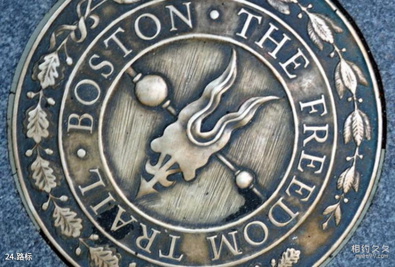
Boston Freedom Trail Travel Guide - Road Signs
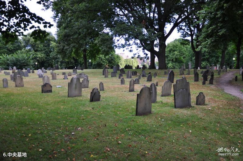
Boston Freedom Trail Travel Guide - Central Cemetery
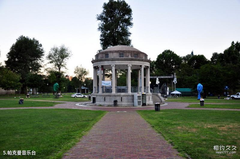
Boston Freedom Trail Travel Guide - Parkman Music Stage

Boston Freedom Trail Travel Guide - Flag Hall

Boston Freedom Trail Travel Guide - Massachusetts State Government
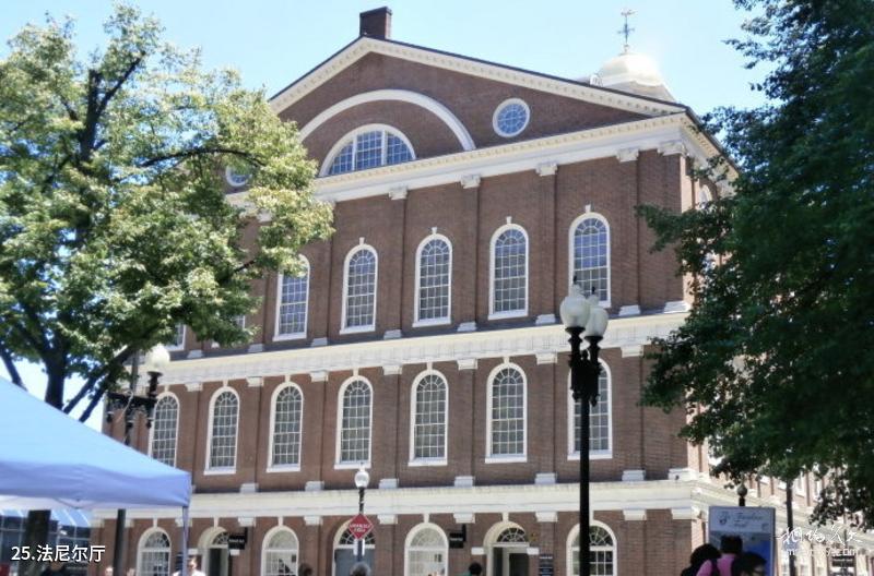
Boston Freedom Trail Travel Guide - Faneuil Hall

Boston Freedom Trail Travel Guide - Boston Massacre Site
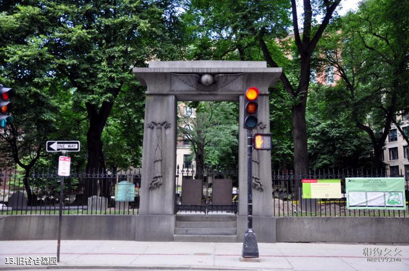
Boston Freedom Trail Travel Guide - Old Barn Cemetery
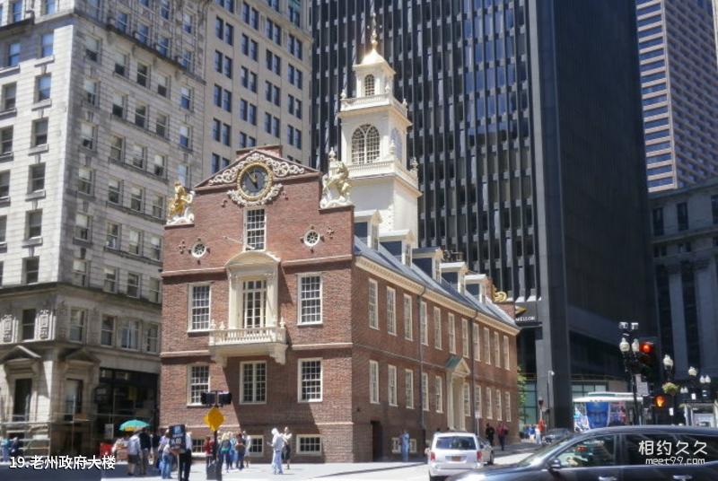
Boston Freedom Trail Travel Guide - Old State Government Building
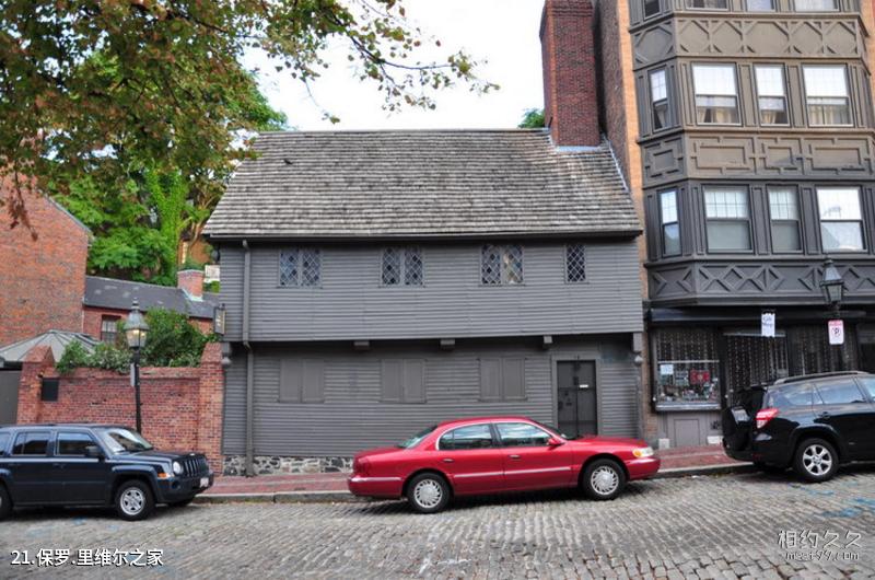
Boston Freedom Trail Travel Guide - Paul Revere House
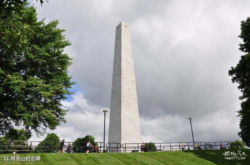
Boston Freedom Trail Travel Guide - Bunker Hill Monument
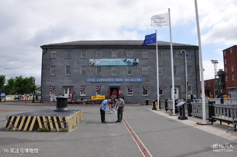
Boston Freedom Trail Travel Guide - USS Constitution Museum
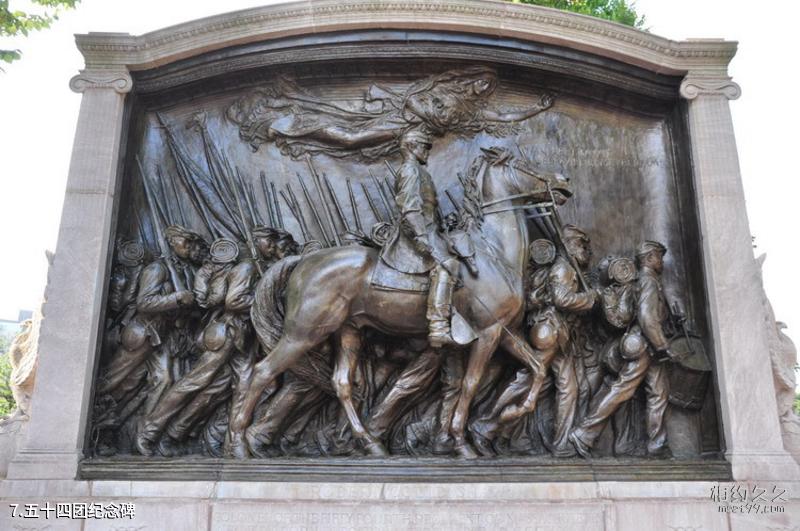
Travel Guide to the Freedom Trail in Boston, USA: The 54th Regiment Monument
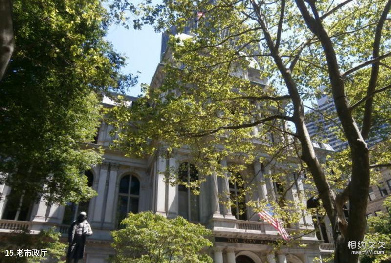
Boston Freedom Trail Travel Guide - Old City Hall
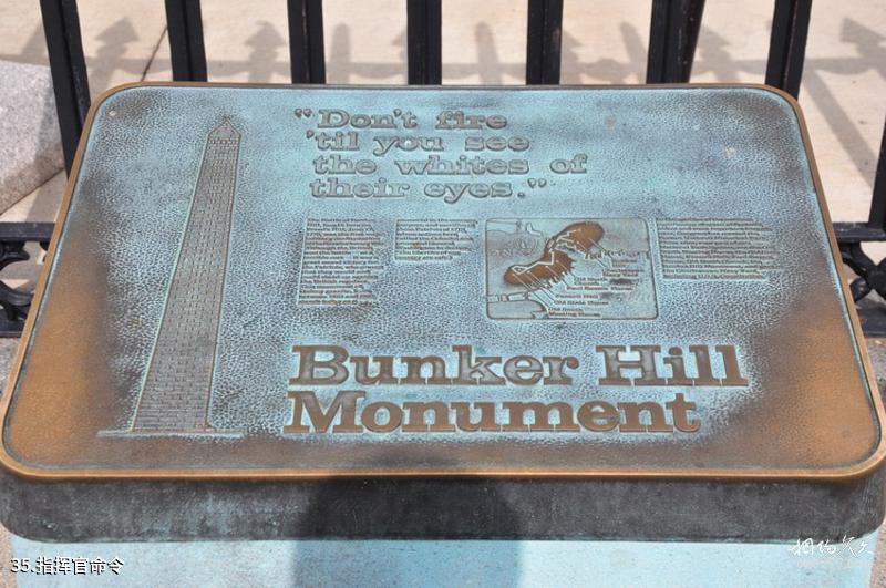
Travel Guide to the Freedom Trail in Boston, USA - Commander’s Order
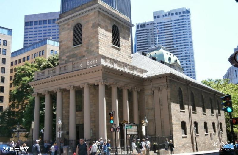
Boston Freedom Trail Travel Guide - King's Church

Boston Freedom Trail Travel Guide - Frog Pond
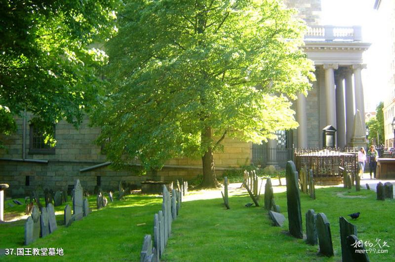
Boston Freedom Trail Travel Guide - King's Chapel Cemetery

Travel guide to the Freedom Trail in Boston, USA: Looking over the scenery of Boston
Comments
No comments yet